Knoll Lake Campground
Campground
Campground · 3.6 mi from the trail
 Photo: Kristof Zyskowski & Yulia Bereshpolova, CC BY 2.0 (via Flickr)
Alert in the area
The Forest Service lists an alert for Coconino National Forest.
West Fork Temporary Area Closure - Extension to 2/27/27
Agency alert covering Coconino National Forest · Order 03-04-00-26-09 · USFS · Coconino National Forest
As of · Source: USFS · Coconino National Forest. Agencies don't list every closure — check before you go.
U-Bar is a hard hike in the Mogollon Rim Ranger District of Coconino National Forest in Arizona, managed by the Forest Service. The route is an out-and-back of about 14.7 miles, with a low point at 6,950 feet and a high of 7,591 feet. The trail is natural-surfaced, and the climb totals about 150 feet of elevation gain. Late spring and early fall are the most comfortable times to go. Typical averages from a nearby weather station at Blue Ridge Reservoir show May highs around 70°F and September highs around 76°F, with lows in the mid-40s. That station sits about 700 feet lower than the high point, so temperatures on the ridge run cooler. The Barbershop hike starts less than a mile away. Knoll Lake Campground and the Myrtle hike are both about 3.6 miles off, and Knoll Lake is about 3.9 miles away.
Knoll Lake Campground
Campground
Double D Bar & Grill
Restaurant
Places © OpenStreetMap contributors
More in Blue RidgeNot on Roamze yet. Their page has how to reach them.
Best months: May–October. Best months have typical highs of 55–85 °F, lows of 30 °F or warmer (32 °F where the station doesn't record snow), at most one snowy day and no more than 12 wet days.
Jan
45° / 17°
Feb
49° / 20°
Mar
55° / 25°
Apr
61° / 30°
May
70° / 38°
Jun
80° / 47°
Jul
83° / 55°
Aug
81° / 53°
Sep
76° / 46°
Oct
67° / 34°
Nov
55° / 24°
Dec
45° / 17°
Typical high / low (°F) and days with rain or snow, 1991–2020. Measured at Blue Ridge Rs, AZ, 11.7 mi away at 6,880 ft. The station sits about 700 ft lower than this place, so expect it a little cooler here. This station doesn't record snowfall. Source: NOAA NCEI U.S. Climate Normals 1991–2020.
 Photo: cogdog, CC BY-SA 3.0 (via Wikimedia Commons)
Houston Brothers
~7 min drive
14.29-mile out-and-back trail in Arizona with 676 ft gain.
 Photo: Coconino NF Photography, Public Domain Dedication (CC0) (via Flickr)
Arizona Trail
~10 min drive
A 2.44-mile out-and-back trail in Arizona connected to Passage 42 of the Arizona Trail system.
 Photo: USDAgov, Public Domain Mark (via Flickr)
Derrick Spur
~15 min drive
1.7-mile out-and-back trail in Arizona with 421 ft gain
 Photo: cogdogblog, CC BY 2.0 (via Flickr)
Escudilla National Recreation - Arizona
~8 min drive
148.43-mile point-to-point trail in Arizona with 5,249 ft elevation gain.
 Photo: cogdogblog, CC BY 2.0 (via Flickr)
Horton Spring
~12 min drive
2.40-mile out-and-back trail in Arizona with 1,129 ft gain.
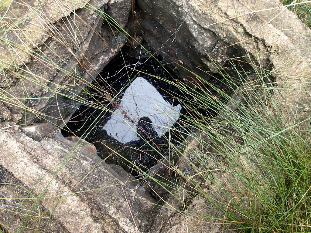 Photo: cogdogblog, CC BY 2.0 (via Flickr)
Box Canyon Trail
~18 min drive
0.72-mile out-and-back hike in Arizona with 244 ft elevation gain.
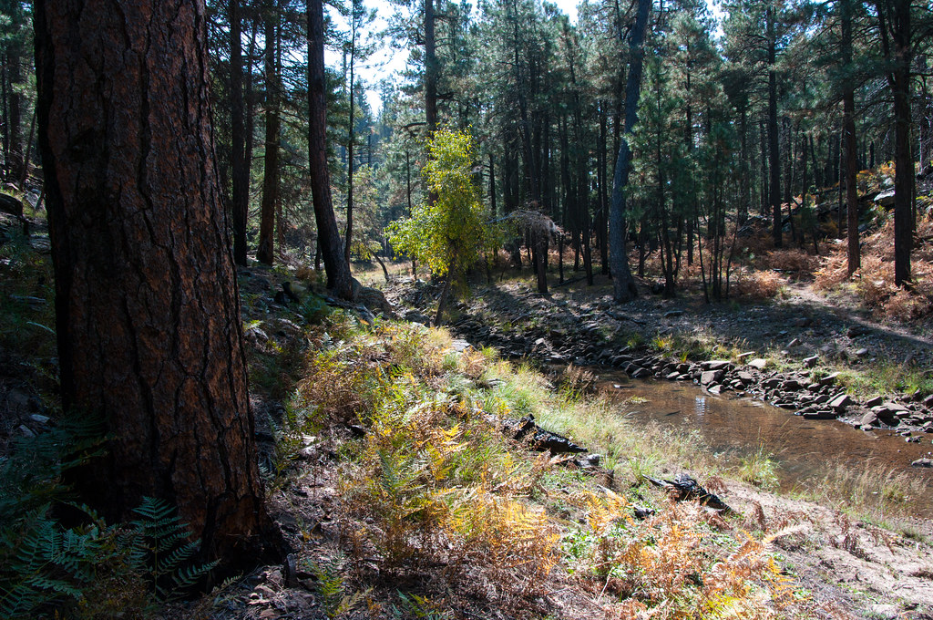 Photo: Coconino NF Photography, Public Domain Dedication (CC0) (via Flickr)
Fred Haught
~9 min drive
Fred Haught is a 7.13-mile out-and-back trail in Arizona with 253 feet of elevation gain.
Photo: USDAgov, Public Domain Mark (via Flickr)Horton Creek Trail #285
~13 min drive
6.67-mile out-and-back hike on Horton Creek Trail #285 in Arizona with 1,141 ft of elevation gain.
Photo: cogdogblog, CC BY 2.0 (via Flickr)Horton Springs Trail #292
~12 min drive
2.01-mile out-and-back trail in Arizona with 108 ft of elevation gain.
 Photo: Coconino National Forest, CC BY-SA 2.0 (via Wikimedia Commons)
Turkey Springs
~23 min drive
6.20-mile out-and-back trail in Arizona with 1,681 ft elevation gain.

