Big Laurel Creek
At a glance
Big Laurel Creek is a canoeing route in North Carolina's National Forests, within the Appalachian Ranger District. The nearest town is Burnsville, about 16 miles away. For paddling weather, late spring and early fall are the most comfortable times. Typical averages from a nearby weather station run from highs around 73°F with lows near 49°F in May to highs around 76°F with lows near 54°F in September. That station sits about 1,365 feet below the creek, so temperatures on the water run cooler. Other paddling water is close by. California Creek is about 5 miles away, and Bull Creek and Shelton Laurel Creek are each within about 8 miles. Hikers can reach the Blue Trail and Wolf Laurel Nature Trail, both under 5 miles from the creek.
- distance
- 16.0 mi
- high point
- 4,190 ft
- best months
- Mar–Nov
Where it is: Appalachian Ranger District · National Forests in North Carolina
Near: Asheville
Best time to visit Big Laurel Creek
Best months: March–November. Best months have typical highs of 55–85 °F, lows of 30 °F or warmer (32 °F where the station doesn't record snow), at most one snowy day and no more than 12 wet days.
Jan
45°
26°
Feb
49°
29°
Mar
56°
34°
Apr
66°
42°
May
73°
49°
Jun
80°
58°
Jul
83°
61°
Aug
81°
60°
Sep
76°
54°
Oct
67°
42°
Nov
57°
34°
Dec
48°
28°
Typical high / low (°F) and days with rain or snow, 1991–2020. Measured at Burnsville Ag, NC, 16.5 mi away at 2,825 ft. The station sits about 1,400 ft lower than this place, so expect it a little cooler here. This station doesn't record snowfall. Source: NOAA NCEI U.S. Climate Normals 1991–2020.
Been here? Tell people how it was.
- California CreekCanoeing~8 min drive
- Stackhouse Boat LaunchBoat launch~20 min drive
- Bull CreekCanoeing~13 min drive
- Redmon Dam River AccessBoat launch~20 min drive
- South Indian CreekCanoeing~14 min drive
- Barnard Park Raft LaunchBoat launch~20 min drive
- Bald Mountain CreekCanoeing~14 min drive
- Barnard Park Boat RampBoat launch~20 min drive
- Spivey CreekCanoeing~17 min drive
- Alexander River Park AccessBoat launch~24 min drive
Also worth it near here
- Hatley PointeDownhill skiing~7 min drive
 Wolf Laurel Nature TrailHikingPhoto: Will Thomas, CC BY-SA 3.0 (via Wikimedia Commons)~8 min drive
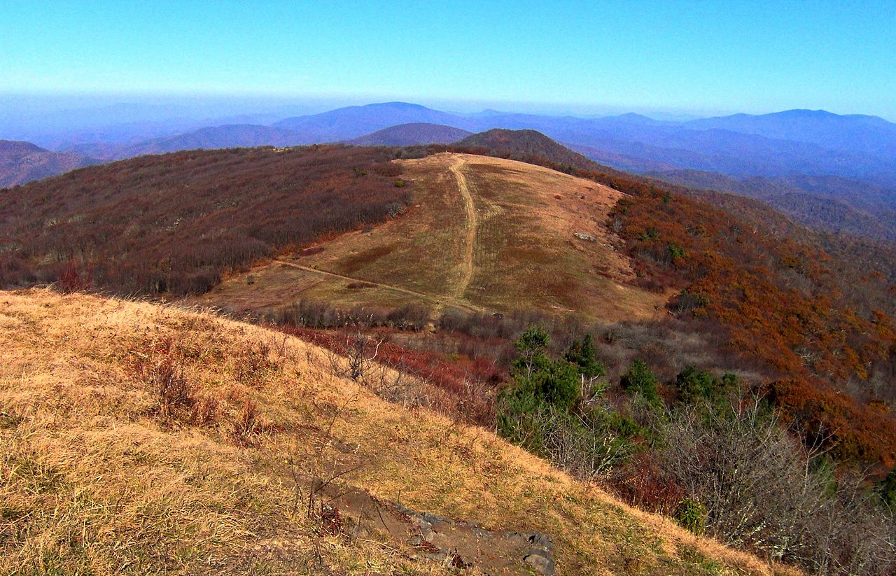 Big BaldSummitPhoto: Brian Stansberry, CC BY 3.0 (via Wikimedia Commons)~11 min drive
- A.T. Bald Mountain ShelterCampingPhoto: Will Thomas, CC BY-SA 3.0 (via Wikimedia Commons)~13 min drive
Conditions and forecast
Caution todayAgency alerts are in effect for this areaUSFS · checked 8 min agoDaily highs and lows, wind and the chance of precipitation at Start for the next 7 days, from the Open-Meteo model.
Ask about this place
Questions about Big Laurel Creek: conditions, access, timing. Answers say when something isn't known.
Local outfitters
- French Broad Adventures10 mi away
- Nantahala Outdoor Center10 mi away
Not on Roamze yet. Their page has how to reach them.
