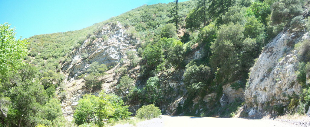
Castaic Creek
Castaic, California
No account needed. We'll keep it on this device.
No verdict for this water
We won't guess. Here is exactly what we do and don't know.
What we do know
Inside Angeles National Forest
2 managing-area boundaries mapped — agency alerts for them feed this page automatically.
Boundary data
What's missing
No access route mapped
We don't yet know which road reaches this trailhead, so we can't tell you if it's gated.
Nobody's filed a report here yet — be the first.
Why you'll love it
River facts
- Water
- Only after rain or snowmelt
- Average flow
- 78 cfs
- Average current
- 1.3 ft/s
- Gradient
- 135.0 ft/mi
- Drainage area
- 201 sq mi
Long-term averages modeled by USGS (NHDPlus HR), not today's conditions. Check a gauge before you go.
Here's your day on the water, mapped
Castaic Creek
Suggested plan · check conditions before you go
Want dates, gear and meals worked out too?
Photos
Directions & GPX
Permits & access
- Managing agency
- Forest Service
About this water
Castaic Creek is a 7.8-mile paddling stretch near Castaic, California. It is ephemeral and may run dry in some seasons. USGS models an average flow of about 78 cfs and a gradient of about 135.0 feet per mile. Land along it is managed by the U.S. Forest Service.
Facts about this water
When to go
Typical monthly averages (not a forecast) from the Fairmont, CA weather station, 14 mi away. High / low in °F.
- Jan56° high38° low
- Feb58° high39° low
- Mar63° high43° low
- Apr68° high46° low
- May76° high53° low
- Jun86° high62° low
- Jul92° high68° low
- Aug93° high68° low
- Sep88° high62° low
- Oct77° high53° low
- Nov65° high44° low
- Dec55° high37° low
Where it is
- Los Angeles Gateway Ranger District · Ranger district
- Angeles National Forest · National forest
- Managed by
- Forest Service
Conditions
Active alerts for Angeles National Forest as of Oct 9, 2026:
Planning to Camp? (Stay Limits/Dispersed Camping Restrictions) until Dec. 15, 2026
information · posted Aug 24, 2026
Williamson Rock Area and Trail Closure
caution · posted Aug 24, 2026
Office & Visitor Center Updates - Need Info or Passes?
information · posted Aug 24, 2026
caution · posted Aug 24, 2026
caution · posted Aug 24, 2026
San Gabriel Canyon OHV Area Prohibitions
caution · posted Aug 24, 2026
San Dimas Experimental Forest Closure
caution · posted Aug 24, 2026
Fire Danger Level Elevated to "Very High"
fire-restriction · posted Aug 24, 2026
Rincon-Redbox Road (2N24) Closure
caution · posted Aug 24, 2026
Source: USFS forest alerts
Nearby
- PianoboxHiking1.7 mi
- Oak FlatCamping3.8 mi
- Oak Flat Nature TrailHiking3.8 mi
- Oak Flat TrailHiking3.9 mi
- Roadside BouldersRock climbing4.2 mi
- Conglomerate Boulders (Templin boulders) - misc problemsRock climbing5 mi
- Pyramid Lake - Emigrant Landing Day Use AreaPier fishing6 mi
- Pyramid Lake - Los Alamos CampgroundCamping6 mi
Source: Roamze catalog (indexable pages within 10 miles, PostGIS distance)
Add to a trip & share
Keep exploring — more water worth the drive
 Photo: brewbooks, CC BY-SA 2.0 (via Wikimedia Commons)
Santa Clara River
~28 min drive
Santa Clara River is a 67-mile paddling stretch near Piru, California. It is intermittent and may run dry in some seasons. USGS models an average flow of about 761 cfs and a gradient of about 45.4 feet per mile.
Emigrant Landing Boat Ramp
~13 min drive
Emigrant Landing Boat Ramp is a boat launch in California.
 Photo: Blackmb, CC BY-SA 3.0 (via Wikimedia Commons)
Sespe Creek
~45 min drive
Sespe Creek is a 60-mile paddling stretch near Ojai, California. It is intermittent and may run dry in some seasons. USGS models an average flow of about 233 cfs and a gradient of about 73.9 feet per mile. Land along it is managed by the U.S. Forest Service.
Main Launch Ramp
~14 min drive
Main Launch Ramp is a boat launch in California.
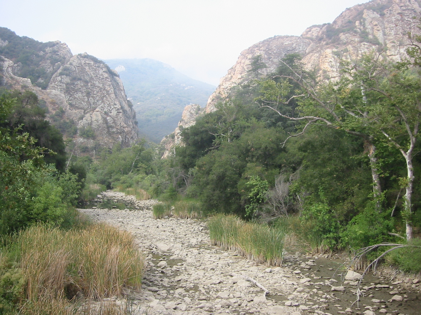 Photo: Tobin/tobo, Rochester, NY, USA, CC BY-SA 2.0 (via Wikimedia Commons)
Malibu Creek
~1h 4m drive
Malibu Creek is a 11-mile paddling stretch near Calabasas, California. It is ephemeral and may run dry in some seasons. USGS models an average flow of about 31 cfs and a gradient of about 68.0 feet per mile.
Lagoon Launch Ramp
~16 min drive
Lagoon Launch Ramp is a boat launch in California.
 Photo: LorraineWalter, CC BY-SA 3.0 (via Wikimedia Commons)
Ventura River
~1h 9m drive
Ventura River is a 16-mile paddling stretch near Ventura, California. It is intermittent and may run dry in some seasons. USGS models an average flow of about 180 cfs and a gradient of about 56.8 feet per mile.
 Photo: Eeekster, CC BY 3.0 (via Wikimedia Commons)
West Fork San Gabriel River
~1h 22m drive
West Fork San Gabriel River is a 15-mile paddling stretch near Azusa, California. It is intermittent and may run dry in some seasons. USGS models an average flow of about 153 cfs and a gradient of about 130.9 feet per mile. Land along it is managed by the U.S. Forest Service.
 Photo: Forest Service, USDA, Public domain (via Wikimedia Commons)
Piru Creek
~24 min drive
Piru Creek is a 62-mile paddling stretch near Frazier Park, California. It is intermittent and may run dry in some seasons. USGS models an average flow of about 254 cfs and a gradient of about 68.0 feet per mile. Land along it is managed by the U.S. Forest Service.
 Photo: MajaTrochimczyk, CC BY 3.0 us (via Wikimedia Commons)
Big Tujunga Creek
~59 min drive
Big Tujunga Creek is a 21-mile paddling stretch near Tujunga, California. It is intermittent and may run dry in some seasons. USGS models an average flow of about 128 cfs and a gradient of about 99.9 feet per mile. Land along it is managed by the U.S. Forest Service.