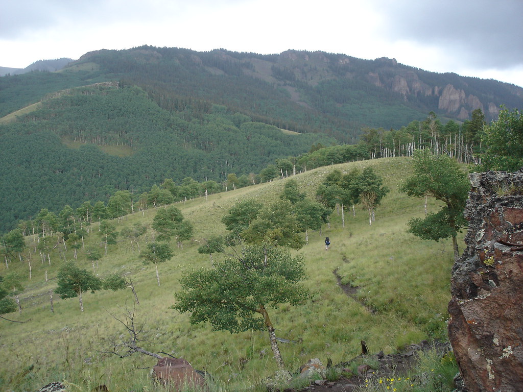
Cebolla Creek
 Photo: Jeffrey Beall, CC BY 4.0 (via Wikimedia Commons)
At a glance
Cebolla Creek is a paddling destination in Colorado's Powderhorn Wilderness, within the Gunnison Field Office of the Bureau of Land Management. The nearest town is Gunnison, about 36 miles away. The surrounding land is designated wilderness, and the creek lies in a remote stretch of the Powderhorn, managed by the BLM. Summer is the most comfortable time to paddle. Typical averages from a nearby weather station run to highs around 72°F in July with lows near 40°F, though July and August bring the most wet days, about 15 a month. That station sits roughly 600 feet below the creek, so temperatures on the water run cooler. Cebolla Creek Campground, about 3.4 miles away, and Mason Family State Wildlife Area, about 3.8 miles away, are the closest places to camp. Hikers can head to Powderhorn Park, about 4.8 miles off, or North Calf Creek, about 5.1 miles away.
- distance
- 36.5 mi
- high point
- 10,302 ft
- best months
- Late May–late Sep
Where it is: Powderhorn Wilderness · Gunnison Field Office
Near: Gunnison
Best weeks to go
Late May to late September is usually best for paddling here.
Typical highs of 63–73°F and lows of 31°F or warmer in those weeks. Rain falls on about 55% of days at the wettest of them, so plan around showers.
Typical weather: NOAA 1991–2020 normals at Santa Maria Rsvr, CO, 22 mi away. Not a forecast.
Typical weather by monthBest time to visit Cebolla Creek
Best months: June–September. Best months are the ones mostly made of the best weeks for paddling: typical temperatures in its comfortable range, few snowy days and not usually wet, judged with the same limits as our good-day forecasts.
Jan
35°
2°
7 wet
Feb
36°
3°
7 wet
Mar
42°
12°
7 wet
Apr
48°
19°
7 wet
May
58°
27°
8 wet
Jun
68°
34°
7 wet
Jul
72°
40°
15 wet
Aug
70°
39°
15 wet
Sep
64°
33°
11 wet
Oct
55°
23°
7 wet
Nov
43°
13°
5 wet
Dec
34°
2°
7 wet
Typical high / low (°F) and days with rain or snow, 1991–2020. Measured at Santa Maria Rsvr, CO, 22.4 mi away at 9,687 ft. The station sits about 600 ft lower than this place, so expect it a little cooler here. This station doesn't record snowfall. Source: NOAA NCEI U.S. Climate Normals 1991–2020.
Been here? Tell people how it was.
 Cochetopa CreekCanoeingPhoto: Ken Lund from Reno, Nevada, USA, CC BY-SA 2.0 (via Wikimedia Commons)~31 min drive
- Devil's Creek Bridge boat rampBoat launch~19 min drive
- Stevens Creek CampgroundTubing~41 min drive
 Henson CreekCanoeingPhoto: Jeffrey Beall, CC BY 4.0 (via Wikimedia Commons)~37 min drive
- Elk CreekBoat launch~38 min drive
 Blue CreekCanoeingPhoto: Jeffrey Beall, CC BY 4.0 (via Wikimedia Commons)~45 min drive
- IolaBoat launch~39 min drive
 Animas RiverCanoeingPhoto: Clyde frogg, CC BY-SA 3.0 (via Wikimedia Commons)~1h 1m drive
- Iola BeachBoat launch~39 min drive
 Tomichi CreekCanoeingPhoto: Orschstaffer, CC BY-SA 3.0 (via Wikimedia Commons)~1h 5m drive
Also worth it near here
Conditions and forecast
Clear todayDetails in the tracked factors belowusgs_nwis · checked 9 h agoDaily highs and lows, wind and the chance of precipitation at Start for the next 7 days, from the Open-Meteo model.

Ask about this place
Questions about Cebolla Creek: conditions, access, timing. Answers say when something isn't known.
Local outfitters
- Blue Creek Lodge31 mi away
- Cedar Creek RV Park and Lodging48 mi away
Not on Roamze yet. Their page has how to reach them.
