Spring Creek
At a glance
Spring Creek is a 20-mile paddling stretch in the Pleasant Valley Ranger District of Tonto National Forest, about 5 miles from the town of Spurlock, Arizona. The Forest Service manages the land along the creek, and the route is ephemeral, so it may run dry in some seasons. USGS models an average flow of about 36 cubic feet per second and a gradient of about 85.6 feet per mile. Spring and fall are the most comfortable times to paddle. Typical averages from a nearby weather station in Pleasant Valley show April highs around 68°F and October highs around 72°F, while July and August average highs near 88°F with more wet days. The Mail Trail starts less than a mile away, and the Pocket hike is about 7 miles off. Tonto Creek, another paddling route, is about 7 miles away, and the Pleasant Valley Vista Loop is about 7.5 miles away.
- distance
- 20.1 mi
- high point
- 5,111 ft
- best months
- Mid-Jul–mid-Nov, early Mar–late Jun
Where it is: Pleasant Valley Ranger District · Tonto National Forest
Near: Payson
Best weeks to go
Mid-July to mid-November and early March to late June are usually best for paddling here.
Typical highs of 60–88°F and lows of 30°F or warmer in those weeks.
Typical weather: NOAA 1991–2020 normals at Pleasant Valley, AZ, 7 mi away. Not a forecast.
Typical weather by monthBest time to visit Spring Creek
Best months: March–November. Best months are the ones mostly made of the best weeks for paddling: typical temperatures in its comfortable range, few snowy days and not usually wet, judged with the same limits as our good-day forecasts.
Jan
53°
25°
5 wet
Feb
56°
27°
5 wet · 1 snow
Mar
61°
31°
5 wet
Apr
68°
36°
3 wet
May
76°
42°
3 wet
Jun
86°
49°
3 wet
Jul
88°
59°
9 wet
Aug
87°
59°
10 wet
Sep
82°
52°
6 wet
Oct
72°
40°
3 wet
Nov
62°
30°
3 wet
Dec
52°
25°
4 wet
Typical high / low (°F) and days with rain or snow, 1991–2020. Measured at Pleasant Valley, AZ, 7.2 mi away at 5,183 ft. Source: NOAA NCEI U.S. Climate Normals 1991–2020.
Been here? Tell people how it was.
 Chevelon CreekCanoeingPhoto: Alan Levine from Strawberry, United States, CC BY 2.0 (via Wikimedia Commons)~1h 18m drive
- Grapevine Boating SiteBoat launch~53 min drive
- Schoolhouse CampgroundStand up paddleboarding~53 min drive
 Tonto CreekCanoeingPhoto: Richard N Horne, CC BY-SA 4.0 (via Wikimedia Commons)~12 min drive
- Schoolhouse Boating SiteBoat launch~53 min drive
- Cholla CampgroundStand up paddleboarding~45 min drive
 East Verde RiverCanoeingPhoto: Richard N Horne, CC BY-SA 4.0 (via Wikimedia Commons)~40 min drive
- Burnt Corral Boating SiteBoat launch~57 min drive
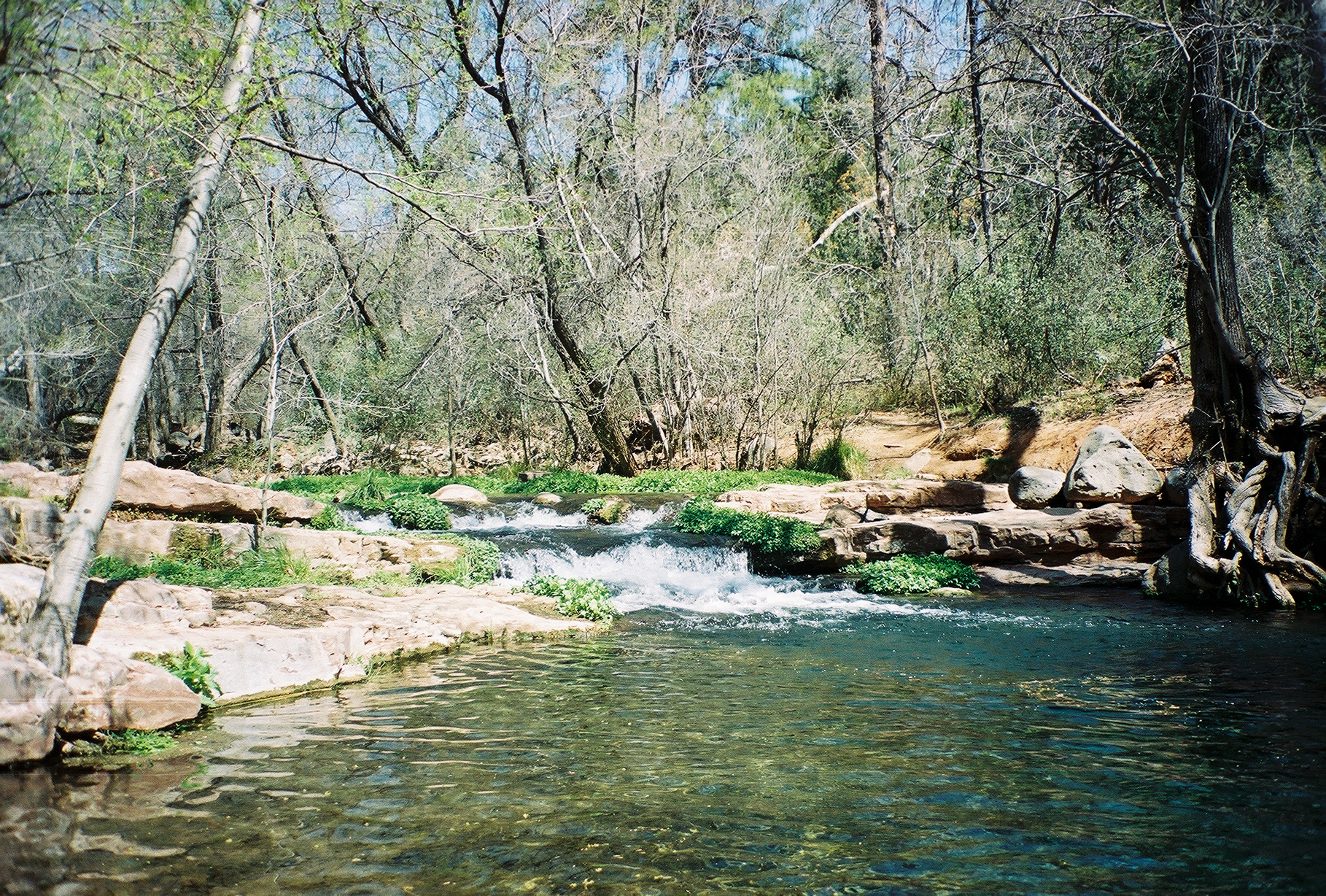 Fossil CreekCanoeingPhoto: Gonzo fan2007, CC BY-SA 3.0 (via Wikimedia Commons)~1h 2m drive
- Yellow Cliffs Boating SiteBoat launch~58 min drive
Also worth it near here
Conditions and forecast
Caution todayAgency alerts are in effect for this areaUSFS · checked 20 min agoDaily highs and lows, wind and the chance of precipitation at Start for the next 7 days, from the Open-Meteo model.

Ask about this place
Questions about Spring Creek: conditions, access, timing. Answers say when something isn't known.
