Pleasant Valley Vista Loop
- 1.4 mi
- round trip
- 83 ft
- climb
- 5,918 ft
- high point
- Out and back
- route
- Mar–May, Sep–Nov
- best months
Caution at last check
Agency alerts are in effect for this area; weather is marginal · USFS, OpenWeather · checked 13 h ago
Is Pleasant Valley Vista Loop open right now?
Alert in the area
The Forest Service lists 4 alerts for Tonto National Forest.
Rattlesnake Cove Developed Recreation Site - Post Flood Recovery and Public Safety Closure
Agency alert covering Tonto National Forest · Order 3-12-01-26-36 · USFS · Tonto National Forest
Canyon Lake Drawdown Public Safety Closure
Agency alert covering Tonto National Forest · Order 03-12-00-26-22 · USFS · Tonto National Forest
No Fire Restrictions
Agency alert covering Tonto National Forest · USFS · Tonto National Forest
Roosevelt Lake Seasonal Wildlife Closure
Agency alert covering Tonto National Forest · Order 12-16-5 · USFS · Tonto National Forest
As of · Source: USFS · Tonto National Forest. Agencies don't list every closure — check before you go.
Pleasant Valley Vista Loop is an easy, accessible out-and-back hike of about 1.4 miles on natural trail in the Pleasant Valley Ranger District of Tonto National Forest in Arizona. The Forest Service manages the land, and the loop stays within the district, which makes it an easy fit for a visit to this part of the forest. The route gains about 83 feet from the low point at 5,835 feet to the high point at 5,918 feet. Its short length and gentle climb make it a straightforward outing, and the trail is open year-round. Spring and fall are the most comfortable seasons for a visit. Typical averages from a nearby weather station in Pleasant Valley show May highs around 76°F and October highs around 72°F, while July and August bring highs in the upper 80s and the most wet days of the year. Bikes are allowed, and the trail is accessible. For more time on foot or water, Spring Creek and Cherry Creek offer canoeing about 7.5 to 8 miles away, and the Mail Trail and Dry Creek Trail are hiking options within about 10 miles.
Local outfitters
- Arizona Desert Mountain Jeep Tours48 mi away
Not on Roamze yet. Their page has how to reach them.
- Spring CreekCanoeing7.5 mi
- Mail TrailHiking7.7 mi
- Cherry CreekCanoeing8.2 mi
- Dry Creek TrailHiking9.5 mi
Source: Roamze catalog (indexable pages within 10 miles, PostGIS distance)
 Rim Lakes Vista Trail #622Hiking · ~30 min drivePhoto: Ktr101, CC BY-SA 2.0 (via Flickr)
 Fisherman Trail #501Hiking · ~30 min drivePhoto: cogdogblog, Public Domain Dedication (CC0) (via Flickr)
 Military Sinkhole Trail #179Hiking · ~29 min drivePhoto: Ktr101, CC BY-SA 2.0 (via Flickr)
- Lucky StrikeHiking · ~24 min drive
- Mail TrailHiking · ~13 min drive
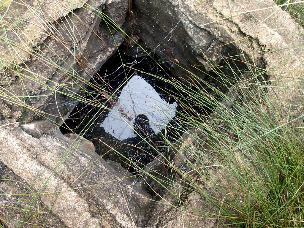 Box Canyon TrailHiking · ~31 min drivePhoto: cogdogblog, CC BY 2.0 (via Flickr)
 General George Crook National Recreation TrailHiking · ~30 min drivePhoto: Šarūnas Burdulis from USA, CC BY-SA 2.0 (via Wikimedia Commons)
- Lost Tank Ridge TrailHiking · ~19 min drive
 Gray WolfHiking · ~30 min drivePhoto: Šarūnas Burdulis, CC BY-SA 2.0 (via Flickr)
- Del ShayHiking · ~24 min drive
Best time to visit Pleasant Valley Vista Loop
Best months: March–May and September–November. Best months have typical highs of 55–85 °F, lows of 30 °F or warmer (32 °F where the station doesn't record snow), at most one snowy day and no more than 12 wet days.
Jan
53° / 25°
5 wet
Feb
56° / 27°
5 wet · 1 snow
Mar
61° / 31°
5 wet
Apr
68° / 36°
3 wet
May
76° / 42°
3 wet
Jun
86° / 49°
3 wet
Jul
88° / 59°
9 wet
Aug
87° / 59°
10 wet
Sep
82° / 52°
6 wet
Oct
72° / 40°
3 wet
Nov
62° / 30°
3 wet
Dec
52° / 25°
4 wet
Typical high / low (°F) and days with rain or snow, 1991–2020. Measured at Pleasant Valley, AZ, 3 mi away at 5,183 ft. The station sits about 700 ft lower than this place, so expect it a little cooler here. Source: NOAA NCEI U.S. Climate Normals 1991–2020.

