Mountain
At a glance
This short hike, rated easy, sits on Forest Service land in Nevada's Humboldt-Toiyabe National Forest, within the Mountain City-Ruby Mountains-Jarbidge Ranger District. The route is an out-and-back about 1.4 miles long, with a total elevation gain of about 624 feet and a high point of 8,455 feet. The climb starts at about 8,139 feet and rises to the high point, with the steepest stretch coming in the first 0.17 miles, where the grade reaches 15%. The trail is rolling, so the climb is broken into smaller segments rather than a single steep push. The trip takes about an hour. The nearest town is Mountain City, about 0.68 miles away. Other outings nearby include the Lime 3 Spur B hike, about 4.3 miles off, and North Fork Salmon Falls Creek, a canoeing spot about 8.1 miles away.
- round trip
- 0.7 mi
- climb
- 624 ft
- high point
- 8,455 ft
- route
- Out and back
- time
- About 30 minutes
Where it is: Mountain City-Ruby Mountains-Jarbidge Ranger District · Humboldt-Toiyabe National Forest
Near: Jackpot
Been here? Tell people how it was.
 Slide CreekHikingPhoto: Matt Lavin, CC BY-SA 2.0 (via Flickr)~23 min drive
 East Fork Jarbidge RiverHikingPhoto: Matt Lavin, CC BY-SA 2.0 (via Flickr)~26 min drive
 Altitude TrailHikingPhoto: Matt Lavin, CC BY-SA 2.0 (via Flickr)~30 min drive
- Deadman 3 Spur BHiking~7 min drive
 Jenny CreekHikingPhoto: Matt Lavin, CC BY-SA 2.0 (via Flickr)~33 min drive
 Three Day CreekHikingPhoto: Matt Lavin, CC BY-SA 2.0 (via Flickr)~28 min drive
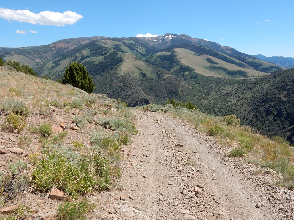 Clover TrailHikingPhoto: Matt Lavin, CC BY-SA 2.0 (via Flickr)~33 min drive
- Lime 3 Spur BHiking~7 min drive
- West Marys River - Camp Draw TrailHiking~37 min drive
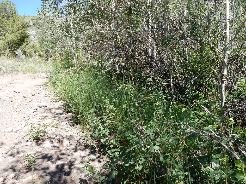 Jack CreekHikingPhoto: Matt Lavin, CC BY-SA 2.0 (via Flickr)~33 min drive
Also worth it near here
Conditions and forecast
Daily highs and lows, wind and the chance of precipitation at Start for the next 7 days, from the Open-Meteo model.


Ask about this place
Questions about Mountain: conditions, access, timing. Answers say when something isn't known.
