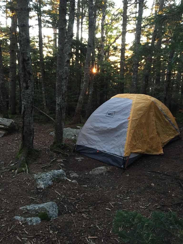
Camp Rich Tentsite
Campground
1.6 mi from the trail
Mount Whiteface is a summit in the Sandwich Range Wilderness, part of the Saco Ranger District of White Mountain National Forest in New Hampshire. The nearest town is Center Sandwich, about 9 miles away. Three trails meet within about a tenth of a mile of the summit: the Mccrillis Trail, the Kate Sleeper Trail and the Rollins Trail. That makes the peak a natural junction for linking routes across this part of the wilderness. For more nearby, Passaconaway campground is about 5 miles away, and the Mt. Hedgehog East Ledges climbing area is about 3.5 miles off.
Where it is: Sandwich Range Wilderness · Saco Ranger District
Near: Laconia
Been here? Tell people how it was.
| Blueberry Ledge Trail | Mccrillis Trail | Rollins Trail | Kate Sleeper Trail | |
|---|---|---|---|---|
| Climbing | About 2,892 ft | About 6,224 ft | About 1,977 ft | About 1,467 ft |
| Round trip | 6.2 mi | 9.1 mi | 4.3 mi | 5.0 mi |
| Difficulty | Hard | Hard | Moderate | Moderate |
| Terrain | Hike | Hike | Hike | Hike |
| Season | — | Year-round | Year-round | Year-round |

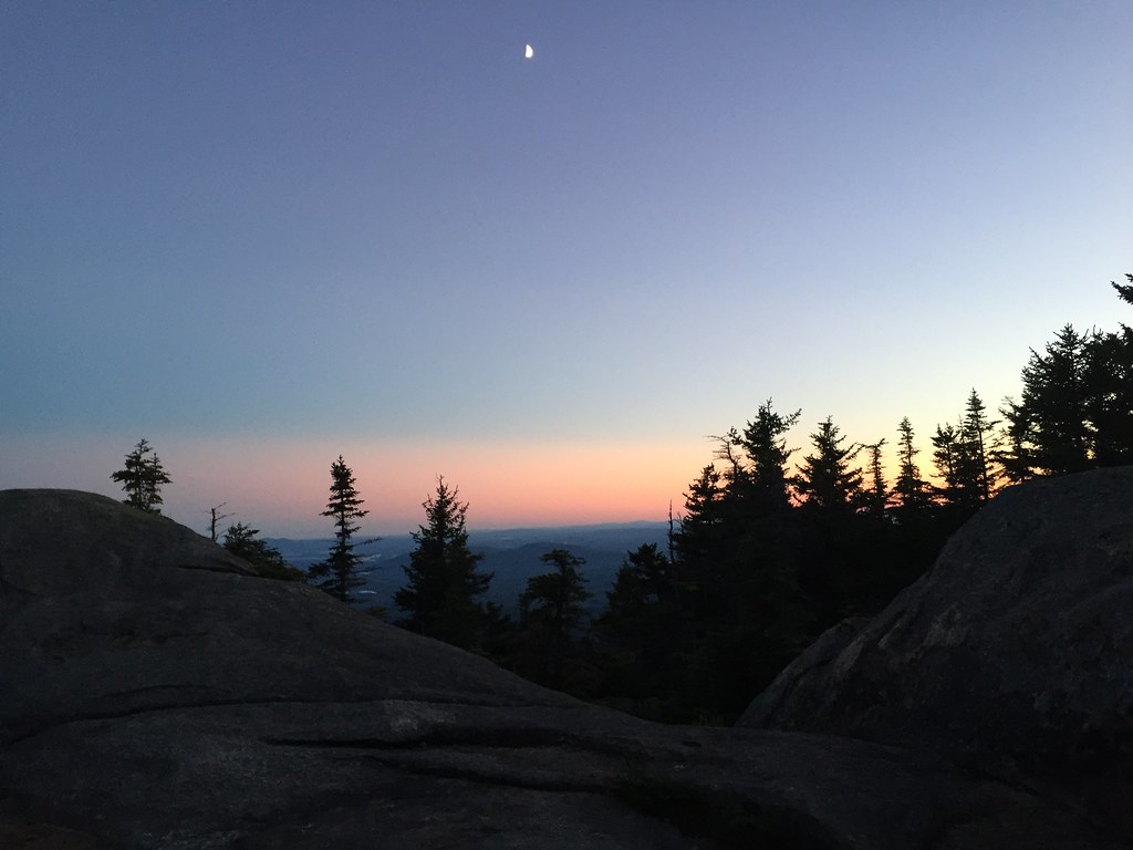 Mccrillis TrailHikingPhoto: drsmith7383, CC BY 2.0 (via Flickr)0.1 mi
 Kate Sleeper TrailHikingPhoto: drsmith7383, CC BY 2.0 (via Flickr)0.1 miRollins TrailHikingPhoto: drsmith7383, CC BY 2.0 (via Flickr)0.1 miMount PassaconawaySummitPhoto: Jeremy R. Clark, CC BY 3.0 (via Wikimedia Commons)~3 min drive
 Mount TripyramidSummitPhoto: petersent, Public domain (via Wikimedia Commons)~6 min drive
 Mount CarrigainSummitPhoto: Tim Sackton, CC BY-SA 2.0 (via Wikimedia Commons)~19 min drive
 North Moat MountainSummitPhoto: Wwoods, CC BY-SA 3.0 (via Wikimedia Commons)~21 min drive
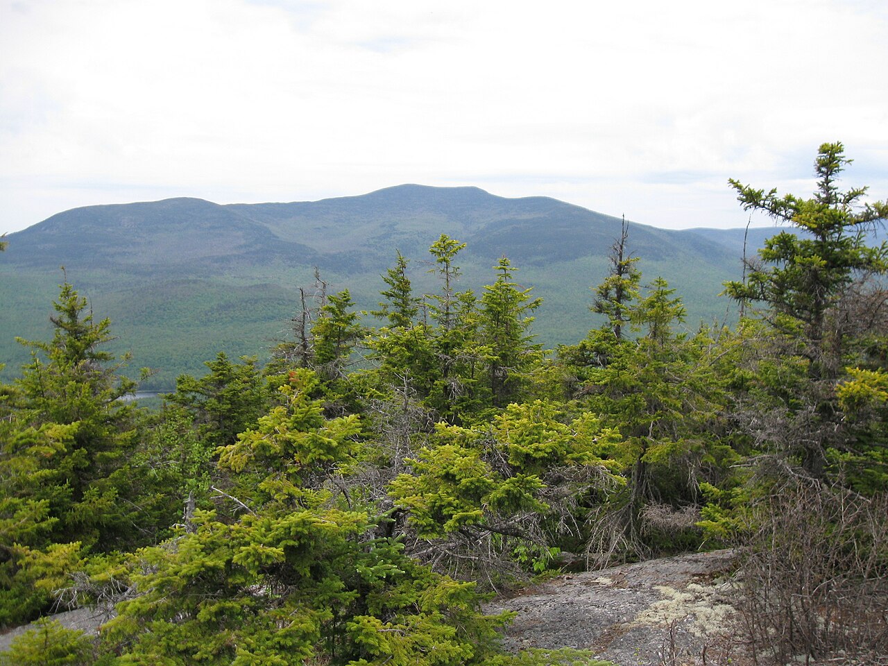 Sandwich MountainSummitPhoto: Ken Gallager (talk), CC BY-SA 3.0 (via Wikimedia Commons)~9 min drive
 Mount ChocoruaSummitPhoto: No machine-readable author provided. JohnJHenderson~commonswiki assumed (based on copyright claims)., Public domain (via Wikimedia Commons)~12 min drive
Daily highs and lows, wind and the chance of precipitation at the summit and route start for the next 7 days, from the Open-Meteo model.
3,995 ft (1,218 m).
4: Blueberry Ledge Trail, Mccrillis Trail, Rollins Trail and Kate Sleeper Trail.
Rollins Trail, about 4.3 mi round trip.
Year-round.
Questions about Mount Whiteface: conditions, access, timing. Answers say when something isn't known.
Camp Rich Tentsite
Campground
 If it rainsKen Gallager, CC BY-SA 4.0 · Wikimedia Commons
Places © OpenStreetMap contributors · Photos: Ken Gallager, CC BY-SA 4.0 (commons)
More in North Conway