Camp Rich Tentsite
Campground
Campground · 2.8 mi from the trail
Closure in the area
There's a closure order in White Mountain National Forest. It doesn't name Blueberry Ledge Trail, so check the source for the area it covers (2 listed).
Wild River Fire - Androscoggin Ranger District
Agency closure covering White Mountain National Forest · USFS · White Mountain National Forest
Rattlesnake Fire – Pemigewasset Ranger District
Agency closure covering White Mountain National Forest · USFS · White Mountain National Forest
Town Hall Road Camping and Fire Restrictions
Agency alert covering White Mountain National Forest · USFS · White Mountain National Forest
Lincoln Woods Trail Closure
Agency alert covering White Mountain National Forest · USFS · White Mountain National Forest
Forest Roads Status
Agency alert covering White Mountain National Forest · USFS · White Mountain National Forest
As of · Source: USFS · White Mountain National Forest. Agencies don't list every closure — check before you go.
Blueberry Ledge Trail is a hard hike in the Saco Ranger District of White Mountain National Forest in New Hampshire, about 3 miles from the district's boundaries. The trail is an out-and-back that climbs from about 1,200 feet to a high point of 3,983 feet, with a total elevation gain of about 2,890 feet over a round-trip distance of about 6 miles. The steepest stretch comes at about 2.1 miles in, where the grade reaches 45 percent. The trip takes about 3.5 hours. The trail starts at a low point of about 1,200 feet and reaches its peak near 4,000 feet, so plan for a long day with a significant climb. Several other trails sit close by. Kelley Trail and McCrillis Path are each about 0.4 miles away, and Tilton Spring Path is about 0.5 miles away. For an overnight stay, Passaconaway campground is about 6 miles off.
Camp Rich Tentsite
Campground
 If it rainsKen Gallager, CC BY-SA 4.0 · Wikimedia Commons
Places © OpenStreetMap contributors · Photos: Ken Gallager, CC BY-SA 4.0 (commons)
More in North ConwayDaily highs and lows, wind and the chance of precipitation at the summit and route start for the next 7 days, from the Open-Meteo model.
Source: Roamze catalog (indexable pages within 10 miles, PostGIS distance)
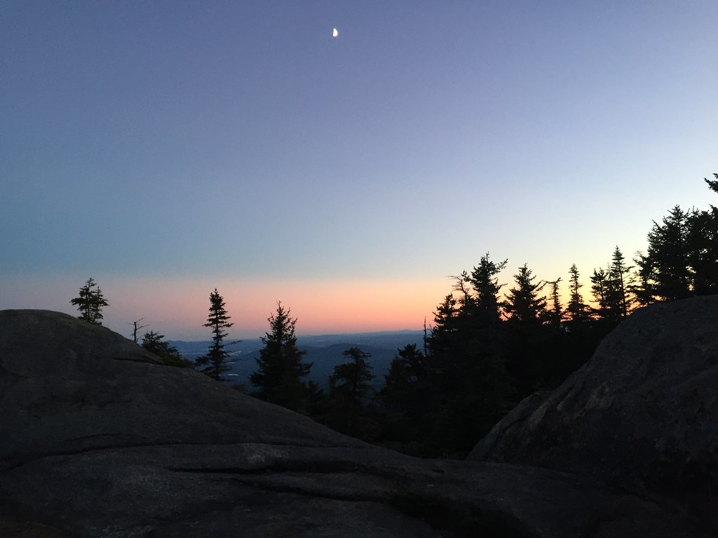 Mccrillis TrailHiking · ~4 min drivePhoto: drsmith7383, CC BY 2.0 (via Flickr)
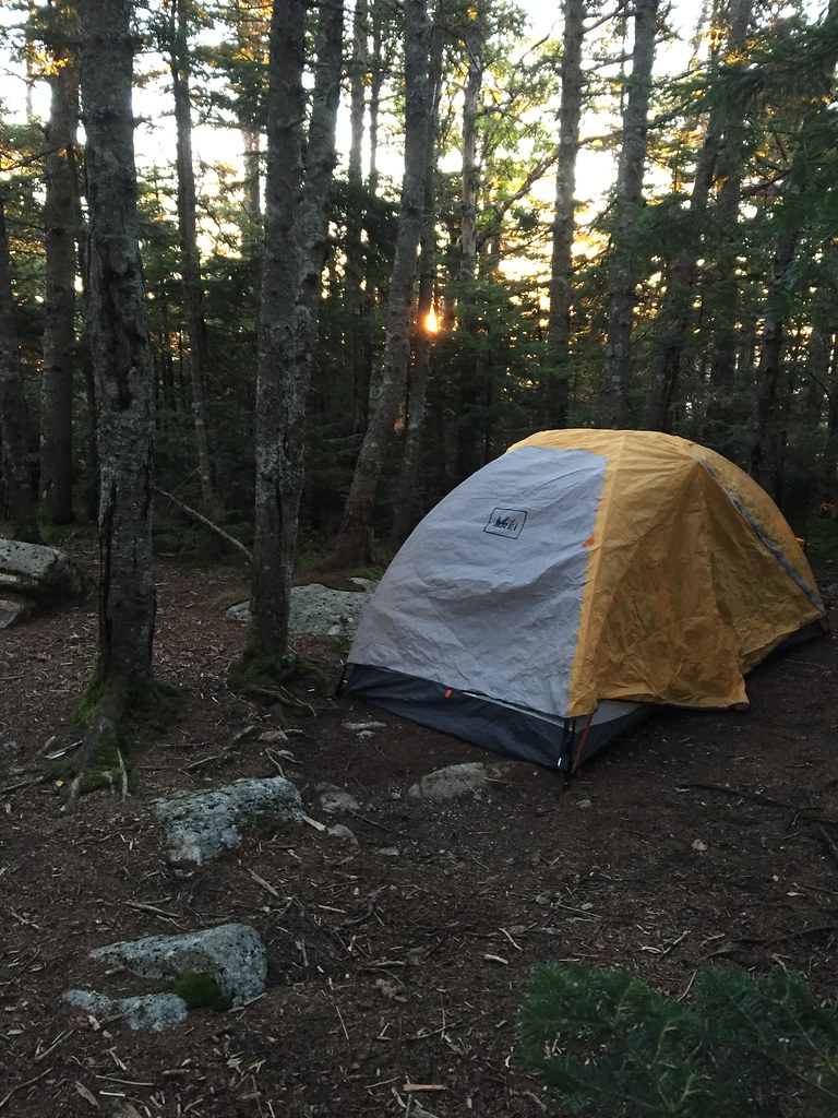 Kate Sleeper TrailHiking · ~4 min drivePhoto: drsmith7383, CC BY 2.0 (via Flickr)Rollins TrailHiking · ~4 min drivePhoto: drsmith7383, CC BY 2.0 (via Flickr)
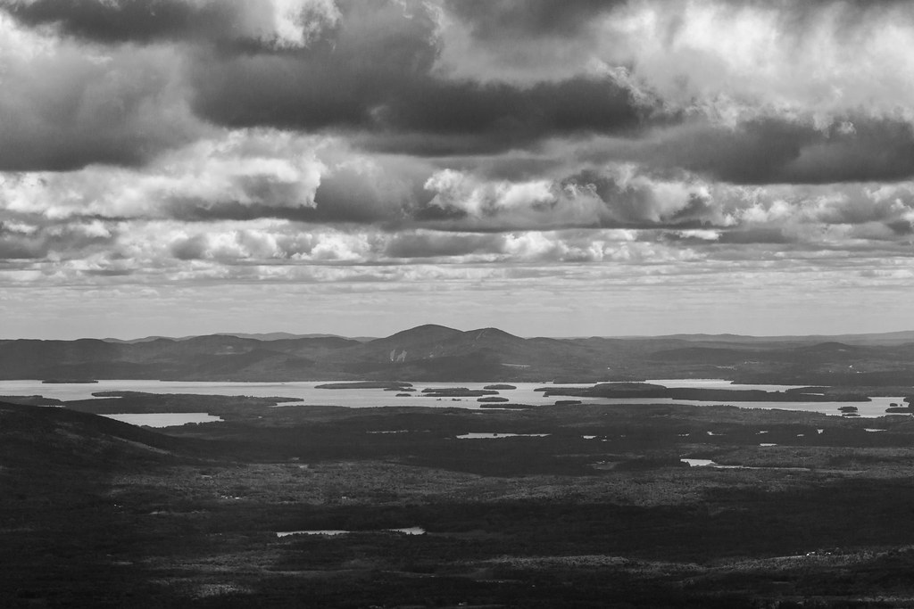 Passaconway CutoffHiking · ~5 min drivePhoto: timsackton, CC BY-SA 2.0 (via Flickr)
About 3.1 mi round trip.
About 2,892 ft of climbing round trip.
It is rated hard.
About 2.5 hours round trip.
4: Blueberry Ledge Trail, Mccrillis Trail, Rollins Trail and Kate Sleeper Trail.
Map and trail data © OpenStreetMap contributors

