Camp Hazard
Campground
1.2 mi from the trail
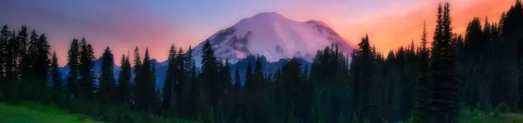
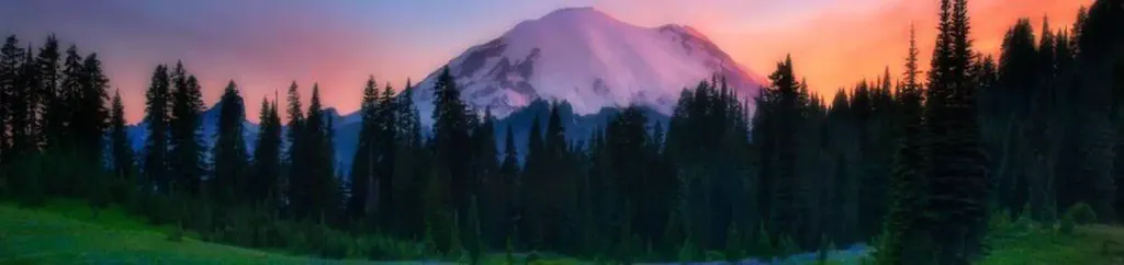
 Photo: shinsain, CC BY-SA 2.0 (via Flickr)
Mount Rainier is a climbing area in Washington's Mount Rainier National Park, within the Mount Rainier Wilderness. The National Park Service manages the land, and the park's wilderness boundaries make this a backcountry destination. The area is known for its ice and alpine routes. Eight routes are listed, with six of them ice climbing. The grades run from about 5.5 to 5.6 on the YDS scale, and one route is a V0 on the V scale. Sunset Ridge and Ptarmigan Ridge are two of the ice routes, and Upper Castle Toprope Wall is the alpine one. A fee is charged for entry to the park. Plan for a trip that includes overnight stays, as Cougar Rock Campground and Cougar Rock Group Campground sit about 6 miles away. Liberty Cap and the Tatoosh Range, both climbing areas, are also within about 7 miles.
8 routes · 5.5 – 5.6 · Alpine · Bouldering
Where it is: Mount Rainier Wilderness · Mount Rainier National Park
Near: Bonney Lake
Been here? Tell people how it was.
 Cougar Rock CampgroundCampingPhoto: Recreation.gov (RIDB) / public domain6.1 mi
 Cougar Rock Group CampgroundCampingPhoto: Recreation.gov (RIDB) / public domain6.1 mi
 Tatoosh RangeRock climbingPhoto: Purplepumpkins, CC BY-SA 4.0 (via Wikimedia Commons)6.8 miTatoosh RangeRock climbingPhoto: Purplepumpkins, CC BY-SA 4.0 (via Wikimedia Commons)~12 min drive
 (b) The Cult BoulderRock climbingPhoto: Laurel Fan, CC BY-SA 2.0 (via Flickr)~1h 9m driveGun ShowRock climbingPhoto: Laurel Fan, CC BY-SA 2.0 (via Flickr)~1h 9m driveTruck TownRock climbingPhoto: Laurel Fan, CC BY-SA 2.0 (via Flickr)~1h 9m drive
Also worth it near here
 Camp MuirCampingPhoto: Mitch from Costa Mesa, CA, USA, CC BY-SA 2.0 (via Wikimedia Commons)~3 min drive
 Little Tahoma PeakSummitPhoto: Thomas Loarie II (talk · contribs), CC BY-SA 3.0 (via Wikimedia Commons)~4 min drive
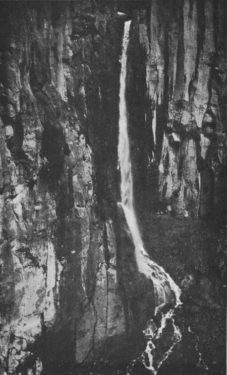 Pearl FallsWaterfallPhoto: National Park Service, Public domain (via Wikimedia Commons)~7 min drive
 Mildred PointHikingPhoto: brewbooks — CC BY-SA 2.0 (via Flickr)~7 min drive
Daily highs and lows, wind and the chance of precipitation at Mount Rainier for the next 7 days, from the Open-Meteo model.
Questions about Mount Rainier: conditions, access, timing. Answers say when something isn't known.
Camp Hazard
Campground
 If it rainsSteven Pavlov, CC BY-SA 4.0 · Wikimedia Commons
Places © OpenStreetMap contributors · Photos: Steven Pavlov, CC BY-SA 4.0 (commons)
More in Packwood