Mount Pershing
 Photo: Ron Clausen, CC BY-SA 4.0 (via Wikimedia Commons)
At a glance
Mount Pershing is a summit of about 6,142 feet in Mason County, Washington, within the Mount Skokomish Wilderness. The peak lies in Olympic National Forest on the Hood Canal Ranger District, managed by the Forest Service, and the nearest town is Hoodsport, about 11 miles away. The closest neighbors are Mildred Lakes, about 1.4 miles away, and Mildred Lakes Trail #822, about 1.6 miles away. The Hamma Hamma River lies about 4 miles off, and Big Creek campground is about 4.6 miles away.
- summit
- 6,142 ft
- managed by
- Forest Service
Where it is: Mount Skokomish Wilderness · Hood Canal Ranger District/Hoodsport
Near: Bremerton
Been here? Tell people how it was.
We don't know of a mapped trail or route to the summit of Mount Pershing. Plan the approach with local maps, a guidebook or a local guide, and check conditions before you go.
 Mount Washington6,240 ft · Washington1 route1.5 mi awayPhoto: Gregg M. Erickson (talk · contribs), CC BY 3.0 (via Wikimedia Commons)
- Mount Ellinor5,939 ft · Washington1 route2.1 mi awayPhoto: Gregg M. Erickson (talk · contribs), CC BY 3.0 (via Wikimedia Commons)
- Mount Rose4,290 ft · Washington1 route3.5 mi away
 Mount Jupiter5,692 ft · Washington1 route14 mi awayPhoto: Ron Clausen, CC BY-SA 4.0 (via Wikimedia Commons)
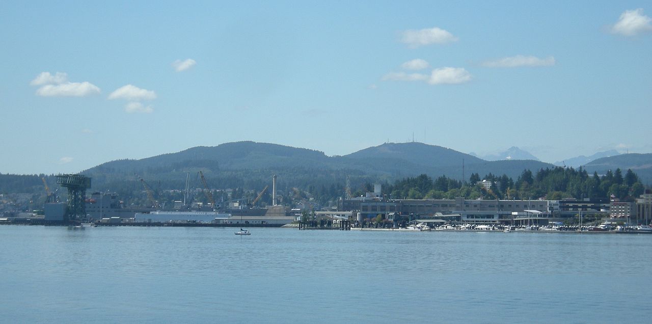 Green Mountain1,707 ft · Washington1 route21 mi awayPhoto: Joe Mabel, CC BY-SA 3.0 (via Wikimedia Commons)
- Mount Walker2,806 ft · Washington2 routes23 mi away
 Mount SkokomishSummitPhoto: Ron Clausen, CC BY-SA 4.0 (via Wikimedia Commons)~6 min drive
 Mount StoneSummitPhoto: CC BY-SA 4.0 (via Wikimedia Commons)~6 min drive
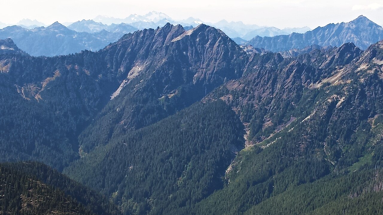 Mount DuckabushSummitPhoto: Maurice King, CC BY 2.0 (via Wikimedia Commons)~12 min drive
 Mount LaCrosseSummitPhoto: Kirk, Ruth W. National Park Service, Public domain (via Wikimedia Commons)~16 min drive
 Mount AndersonSummitPhoto: Photographer: Garland, M. (National Park Service), Public domain (via Wikimedia Commons)~21 min drive
- Mount JupiterSummitPhoto: Ron Clausen, CC BY-SA 4.0 (via Wikimedia Commons)~24 min drive
 Mount NortonSummitPhoto: Terri Stewart, CC BY-SA 2.0 (via Wikimedia Commons)~28 min drive
 Mount ConstanceSummitPhoto: BlueCanoe, CC BY-SA 3.0 (via Wikimedia Commons)~28 min drive
 Mount ChristieSummitPhoto: Ron Clausen, CC BY-SA 4.0 (via Wikimedia Commons)~29 min drive
 Mount MysterySummitPhoto: CC BY 4.0 (via Wikimedia Commons)~29 min drive
Also worth it near here
Conditions and forecast
Daily highs and lows, wind and the chance of precipitation at the summit for the next 7 days, from the Open-Meteo model.
Questions about Mount Pershing
How tall is Mount Pershing?
6,142 ft (1,872 m).
Is there a trail to the top of Mount Pershing?
We don't know of a mapped trail or route to the summit. Plan the approach with local maps, a guidebook or a local guide.


Ask about this place
Questions about Mount Pershing: conditions, access, timing. Answers say when something isn't known.
