Mount Mitchell Campground
Campground
0.5 mi from the trail
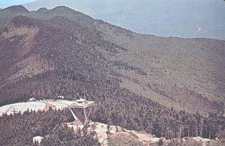 Photo: Public domain (via Wikimedia Commons)
Mount Mitchell is a summit in the Appalachian Ranger District of the National Forests in North Carolina, about 8 miles from the town of Montreat. It rises to 6,683 feet, making it the highest point in the state. Summer is the most comfortable time to go. Typical July averages at a nearby weather station run to highs around 67°F and lows near 52°F, and the summit sits a few hundred feet higher than the station. That station sits at 6,240 feet, so temperatures on the peak run a little cooler. The Campground Trail and the Black Mountain Crest hike both start within a quarter mile of the summit. For an overnight stay, Black Mountain Campground is about 2.6 miles away, and the South Toe River offers fishing about 3 miles off.
Where it is: Appalachian Ranger District · National Forests in North Carolina
Near: Asheville
Best months: September. Best months have typical highs of 55–85 °F, lows of 30 °F or warmer (32 °F where the station doesn't record snow), at most one snowy day and no more than 12 wet days.
Jan
34°
17°
14 wet
Feb
36°
18°
13 wet
Mar
41°
24°
14 wet
Apr
50°
32°
13 wet
May
58°
41°
14 wet
Jun
64°
49°
16 wet
Jul
67°
52°
18 wet
Aug
66°
51°
16 wet
Sep
61°
46°
12 wet
Oct
54°
37°
11 wet
Nov
45°
28°
10 wet
Dec
38°
21°
13 wet
Typical high / low (°F) and days with rain or snow, 1991–2020. Measured at Mt Mitchell, NC, 0.6 mi away at 6,240 ft. This station doesn't record snowfall. Source: NOAA NCEI U.S. Climate Normals 1991–2020.
Been here? Tell people how it was.


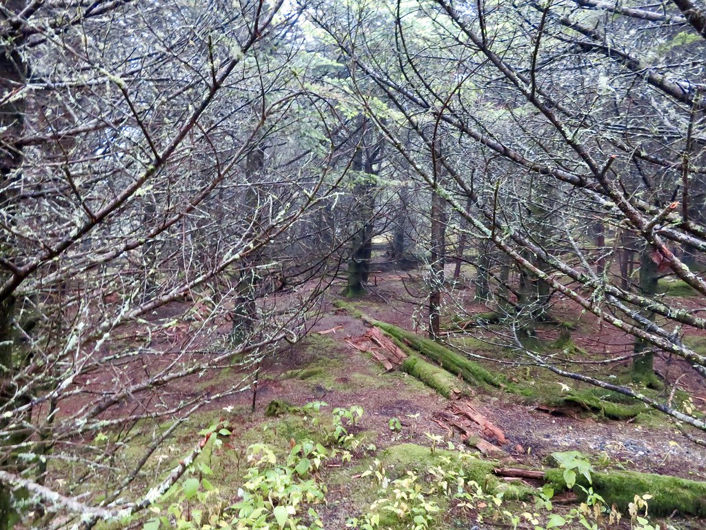 Black Mountain CrestHikingPhoto: aafromaa, CC BY 2.0 (via Flickr)0.2 mi
 Briar Bottom Group CampCampingPhoto: Wncoutdoors, CC BY-SA 3.0 (via Wikimedia Commons)2.4 mi
 Black Mountain CampgroundCampingPhoto: Recreation.gov (RIDB) / public domain2.6 miBig TomSummitPhoto: Brian Stansberry (photographer), CC BY 3.0 (via Wikimedia Commons)~2 min driveBalsam ConeSummitPhoto: Thomson200, CC0 (via Wikimedia Commons)~3 min drive
 Celo KnobSummitPhoto: Thomson200, CC0 (via Wikimedia Commons)~10 min drive
 Woodys KnobSummitPhoto: Jdshepard at en.wikipedia, Public domain (via Wikimedia Commons)~21 min drive
 Craggy PinnacleSummitPhoto: Thomson200, CC0 (via Wikimedia Commons)~13 min drive
Also worth it near here
Black Mountain CrestHikingPhoto: aafromaa, CC BY 2.0 (via Flickr)Next door Mitchell FallsWaterfallPhoto: Unknown authorUnknown author, Public domain (via Wikimedia Commons)~2 min driveBriar Bottom Group CampCampingPhoto: Wncoutdoors, CC BY-SA 3.0 (via Wikimedia Commons)~4 min drive
Daily highs and lows, wind and the chance of precipitation at the summit and crest trailhead for the next 7 days, from the Open-Meteo model.
6,683 ft (2,037 m).
One: Mt Mitchell.
Mt Mitchell starts at Crest Trailhead (about 3,042 ft).
Year-round.
Questions about Mount Mitchell: conditions, access, timing. Answers say when something isn't known.
Mount Mitchell Campground
Campground
 If it rainsDavidhuffcreative, CC BY-SA 4.0 · Wikimedia Commons
Places © OpenStreetMap contributors, Places © Overture Maps Foundation · Photos: Davidhuffcreative, CC BY-SA 4.0 (commons)
More in Spruce Pine