Mountain · 1 route
Mount Craig
6,643 ft · North Carolina
- Summit
- 6,643 ft
- Routes
- 1 way up
- Season
- Year-round
Route up Mount Craig
About Mount Craig
Mount Craig is a summit of 6,643 feet in the Appalachian Ranger District of the National Forests in North Carolina, about 9 miles from the town of Montreat. Summer is the most comfortable time to go. Typical averages from the nearby Mt Mitchell weather station, which sits a few hundred feet lower, show July highs around 67°F with lows near 52°F, while winter highs stay in the mid-30s. The closest trails are Big Tom Gap, half a mile away, and Black Mountain Crest, under a mile off. For an overnight base, Black Mountain Campground and the South Toe River fishing access are both about 3 miles away.
Forecast on Mount Craig
Daily highs and lows, wind and the chance of precipitation at the summit and route start for the next 7 days, from the Open-Meteo model.
Questions about Mount Craig
How tall is Mount Craig?
6,643 ft (2,025 m).
How many routes go to the summit of Mount Craig?
One: Black Mountain Crest.
When is the best time to climb Mount Craig?
Year-round.
Mountains nearby
 Big Tom6,575 ft · North Carolina1 route0.2 mi awayPhoto: Brian Stansberry (photographer), CC BY 3.0 (via Wikimedia Commons)
 Balsam Cone6,591 ft · North Carolina1 route0.9 mi awayPhoto: Thomson200, CC0 (via Wikimedia Commons)
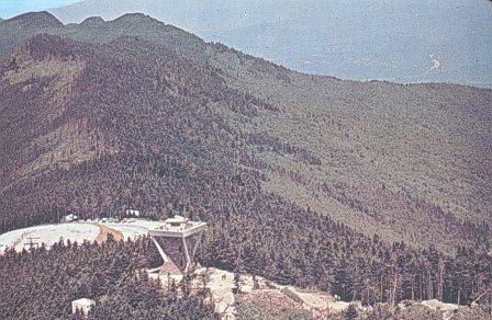 Mount Mitchell6,683 ft · North Carolina1 route0.9 mi awayPhoto: Public domain (via Wikimedia Commons)
- Commissary Hill5,778 ft · North Carolina1 route1.7 mi away
- Potato Hill6,464 ft · North Carolina1 route1.7 mi away
- Hallback6,390 ft · North Carolina1 route2.1 mi away
Facts about this place
When to go
Best time to go: Jun–Sep. The mildest months here, with typical highs of 61–67°F and lows of 46–52°F.
Typical monthly averages (not a forecast) from the Mt Mitchell, NC weather station, 1.4 mi away. High / low in °F.
- Jan34° high17° low
- Feb36° high18° low
- Mar41° high24° low
- Apr50° high32° low
- May58° high41° low
- Jun64° high49° low
- Jul67° high52° low
- Aug66° high51° low
- Sep61° high46° low
- Oct54° high37° low
- Nov45° high28° low
- Dec38° high21° low
Where it is
- Appalachian Ranger District · Ranger district
- National Forests in North Carolina · National forest
- Nearest town
- Montreat, North Carolina · 9.2 mi
Conditions
Active alerts for Appalachian Ranger District as of Oct 9, 2026:
Closure order prohibiting protected areas pertaining to Paint Rock
information · posted Aug 24, 2026
Appalachian Ranger District Office Hours
information · posted Aug 24, 2026
Max Patch Restrictions- Appalachian Ranger District
information · posted Aug 24, 2026
Source: USFS forest alerts
Nearby
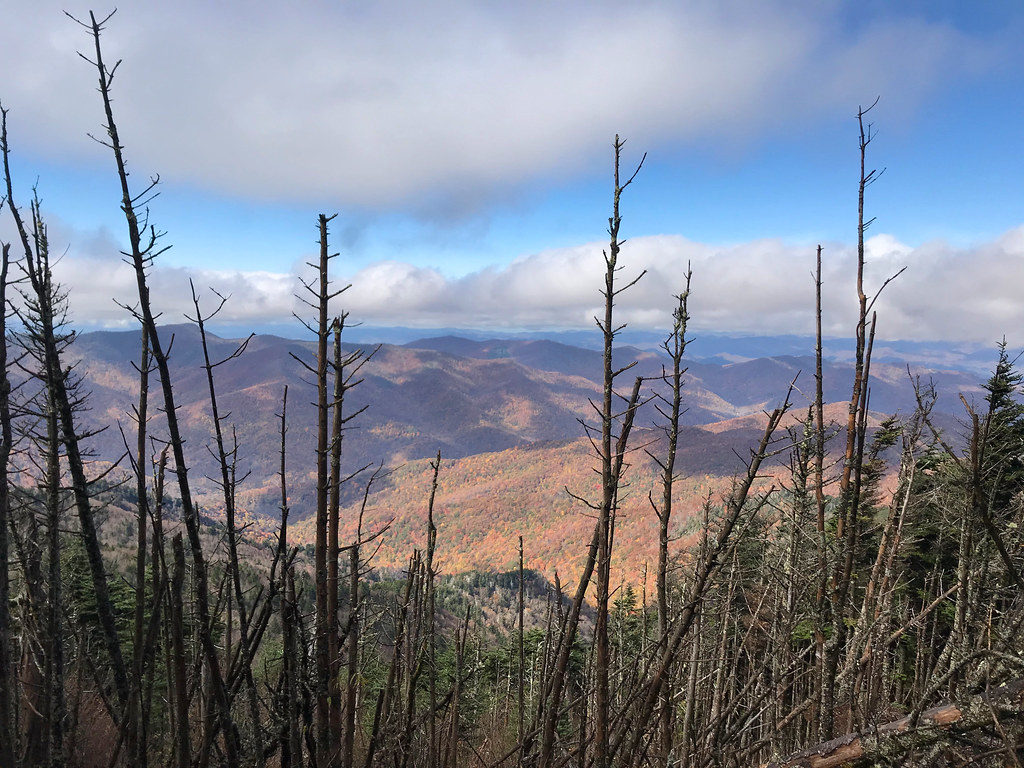 Big Tom GapHikingPhoto: Edwards_SA, CC BY-SA 2.0 (via Flickr)0.5 mi
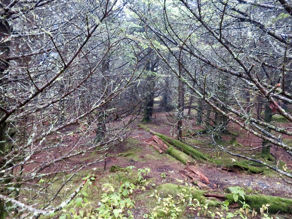 Black Mountain CrestHikingPhoto: aafromaa, CC BY 2.0 (via Flickr)0.7 mi
 Briar Bottom Group CampCampingPhoto: Wncoutdoors, CC BY-SA 3.0 (via Wikimedia Commons)2.8 mi
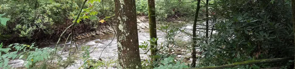 Black Mountain CampgroundCampingPhoto: Recreation.gov (RIDB) / public domain2.9 mi
- South Toe RiverRiver fishing2.9 mi
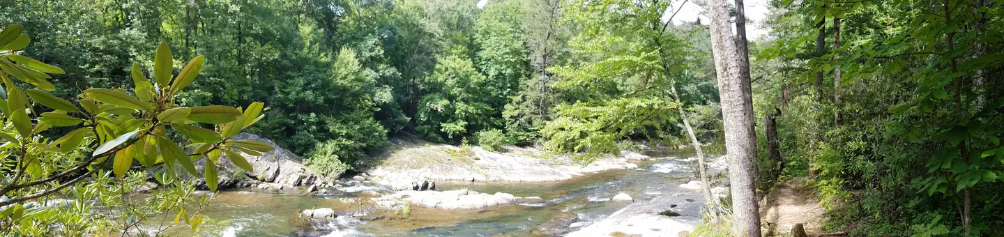 Carolina Hemlocks Rec AreaRiver fishing3.7 mi
- Northern Mountains RegionRock climbing5 mi
- Snake's DenRock climbing5.6 mi
Source: Roamze catalog (indexable pages within 10 miles, PostGIS distance)
Is Mount Craig open right now?
Closure in the area
There's a closure order in National Forests in North Carolina. It doesn't name Mount Craig, so check the source for the area it covers (2 listed).
Rainbow Springs Road closed for reconstruction
Agency closure covering National Forests in North Carolina · USFS · National Forests in North Carolina
Closures in anticipation of Hurricane Isaias
Agency closure covering National Forests in North Carolina · USFS · National Forests in North Carolina
Siddie Fields Day Use Area closed for improvements
Agency alert covering National Forests in North Carolina · USFS · National Forests in North Carolina
Pisgah National Forest Driving Safety Alert
Agency alert covering National Forests in North Carolina · USFS · National Forests in North Carolina
As of · Source: USFS · National Forests in North Carolina. Agencies don't list every closure — check before you go.
Best time to visit Mount Craig
Best months: September. Best months have typical highs of 55–85 °F, lows of 30 °F or warmer (32 °F where the station doesn't record snow), at most one snowy day and no more than 12 wet days.
Jan
34° / 17°
14 wet
Feb
36° / 18°
13 wet
Mar
41° / 24°
14 wet
Apr
50° / 32°
13 wet
May
58° / 41°
14 wet
Jun
64° / 49°
16 wet
Jul
67° / 52°
18 wet
Aug
66° / 51°
16 wet
Sep
61° / 46°
12 wet
Oct
54° / 37°
11 wet
Nov
45° / 28°
10 wet
Dec
38° / 21°
13 wet
Typical high / low (°F) and days with rain or snow, 1991–2020. Measured at Mt Mitchell, NC, 1.4 mi away at 6,240 ft. This station doesn't record snowfall. Source: NOAA NCEI U.S. Climate Normals 1991–2020.
