Mount Hunger
At a glance
Mount Hunger is a summit in Vermont, about 4 miles from the town of Waterbury Center. Three named trails sit close to the mountain: the Waterbury Trail and the White Rock Trail are each about a tenth of a mile away, and the Middlesex Trail is about a mile off. Summer is the most comfortable time to go. Typical averages from the nearby Mt Mansfield weather station show July highs around 69°F and lows in the mid-50s. Winter at that station is harsh, with January highs near 21°F and lows around 6°F. Other outings in the area include paddling on the Little River and the North Branch Winooski River, both about 6 miles away. Little River State Park offers camping at roughly 7 miles.
- summit
- 3,537 ft
- ways up
- 4
Near: Montpelier
Best time to visit Mount Hunger
No month here meets our mild-weather rule. Best months have typical highs of 55–85 °F, lows of 30 °F or warmer (32 °F where the station doesn't record snow), at most one snowy day and no more than 12 wet days.
Jan
21°
6°
21 wet
Feb
23°
7°
18 wet
Mar
30°
16°
17 wet
Apr
43°
28°
15 wet
May
57°
41°
16 wet
Jun
65°
50°
16 wet
Jul
69°
55°
16 wet
Aug
68°
54°
15 wet
Sep
61°
47°
14 wet
Oct
48°
35°
15 wet
Nov
36°
23°
17 wet
Dec
27°
13°
21 wet
Typical high / low (°F) and days with rain or snow, 1991–2020. Measured at Mt Mansfield, VT, 12.3 mi away at 3,950 ft. This station doesn't record snowfall. Source: NOAA NCEI U.S. Climate Normals 1991–2020.
Been here? Tell people how it was.
- Middlesex TrailHardabout 2,113 ft of climbing3.6 mi round trip
- Waterbury TrailHardabout 2,676 ft of climbing3.7 mi round trip
- Skyline TrailExpertabout 3,308 ft of climbing10.2 mi round trip
- White Rock TrailModerateabout 1,282 ft of climbing2.4 mi round trip
Compare the routes Middlesex Trail Waterbury Trail Skyline Trail White Rock Trail Climbing About 2,113 ft About 2,676 ft About 3,308 ft About 1,282 ft Round trip 3.6 mi 3.7 mi 10.2 mi 2.4 mi Difficulty Hard Hard Expert Moderate Terrain Hike Hike Hike Hike Season Spring, summer, fall Spring, summer, fall Spring, summer, fall Spring, summer, fall Map © Mapbox © OpenStreetMap contributors Hazards
- Muddy conditions
- Slippery rocks when wet
- Ticks in warmer months
- Seasonal ice
- Slippery conditions when wet
- Potential for sudden weather changes on ridgeline
- Limited shelter on exposed sections
Season
Spring brings muddy conditions and emerging wildflowers, summer offers full foliage, fall features spectacular leaf colors, winter may require snowshoes
Trail may be muddy during spring snowmelt; beautiful fall foliage; winter conditions may require microspikes
Best hiked from late spring through fall; winter conditions may require snowshoes or microspikes
Trail may have muddy conditions during spring snowmelt; beautiful fall foliage viewing opportunity.
- Hogback Mountain3,232 ft · Vermont1 route1.9 mi away
- Stowe Pinnacle2,638 ft · Vermont1 route2.4 mi away
- Mount Worcester3,290 ft · Vermont2 routes4.2 mi away
- Elmore Mountain2,607 ft · Vermont2 routes10 mi away
- Bolton Mountain3,712 ft · Vermont1 route10 mi away
- Mount Mayo3,135 ft · Vermont1 route11 mi away
- Waterbury TrailHiking0.1 mi
- White Rock TrailHiking0.1 mi
 Middlesex TrailHikingPhoto: walknboston, CC BY 2.0 (via Wikimedia Commons)1 mi
- Little RiverCanoeing5.5 mi
- North Branch Winooski RiverCanoeing5.9 mi
- Little River State ParkCamping6.7 mi
- Smugglers' Notch BoulderingRock climbing9.7 mi
- Tradisfaction WallRock climbing10 mi
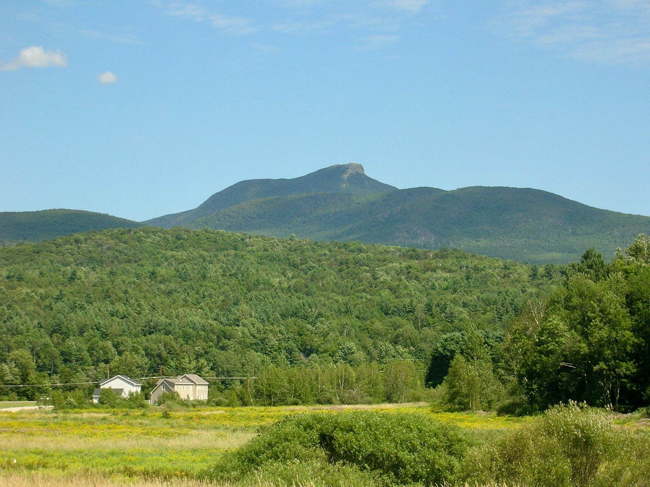 Camels HumpSummitPhoto: Niranjan Arminius, CC BY-SA 4.0 (via Wikimedia Commons)~22 min drive
 Mount Ethan AllenSummitPhoto: Niranjan Arminius, CC BY-SA 4.0 (via Wikimedia Commons)~24 min drive
 Mount EllenSummitPhoto: dvs, CC BY 2.0 (via Wikimedia Commons)~37 min drive
 Mount AbrahamSummitPhoto: User:Magicpiano, CC BY-SA 4.0 (via Wikimedia Commons)~41 min drive
 Big JaySummitPhoto: Petersent, Public domain (via Wikimedia Commons)~1h 2m drive
- White Rock MountainSummit~1 min drive
- Hogback MountainSummit~3 min drive
- Stowe PinnacleSummit~4 min drive
- Mount WorcesterSummit~7 min drive
- Elmore MountainSummit~18 min drive
Conditions and forecast
Daily highs and lows, wind and the chance of precipitation at the summit and route start for the next 7 days, from the Open-Meteo model.
Questions about Mount Hunger
How tall is Mount Hunger?
3,537 ft (1,078 m).
How many routes go to the summit of Mount Hunger?
4: Middlesex Trail, Waterbury Trail, Skyline Trail and White Rock Trail.
What is the shortest route up Mount Hunger?
White Rock Trail, about 2.4 mi round trip.
When is the best time to climb Mount Hunger?
Spring, summer, fall.
Ask about this place
Questions about Mount Hunger: conditions, access, timing. Answers say when something isn't known.
