Mitchell Lick
At a glance
Mitchell Lick is a summit in the Tusquittee Ranger District of the National Forests in North Carolina, about 9.5 miles from the town of Marble. The closest neighbors are Snowbird Mountain, about a mile away, and Hooper Bald at roughly 1.8 miles. For an overnight, State Line Campground and Holder Cove Campground both sit about 3.6 miles off. Snowbird Creek, about 4.9 miles away, offers paddling.
- summit
- 4,604 ft
Where it is: Tusquittee Ranger District · National Forests in North Carolina
Near: Andrews
Been here? Tell people how it was.
We don't know of a mapped trail or route to the summit of Mitchell Lick. Plan the approach with local maps, a guidebook or a local guide, and check conditions before you go.
- Laurel Top5,338 ft · North Carolina1 route0.6 mi away
- Big Junction5,374 ft · North Carolina1 route0.9 mi away
- Huckleberry Knob5,558 ft · North Carolina1 route3.0 mi away
- Rattlesnake Rock4,143 ft · Tennessee2 routes4.3 mi away
- Bob Bald5,273 ft · North Carolina1 route5.8 mi away
- Stratton Bald5,343 ft · North Carolina1 route6.2 mi away
 Snowbird MountainHikingPhoto: pseabolt, CC BY 3.0 (via Wikimedia Commons)1 mi
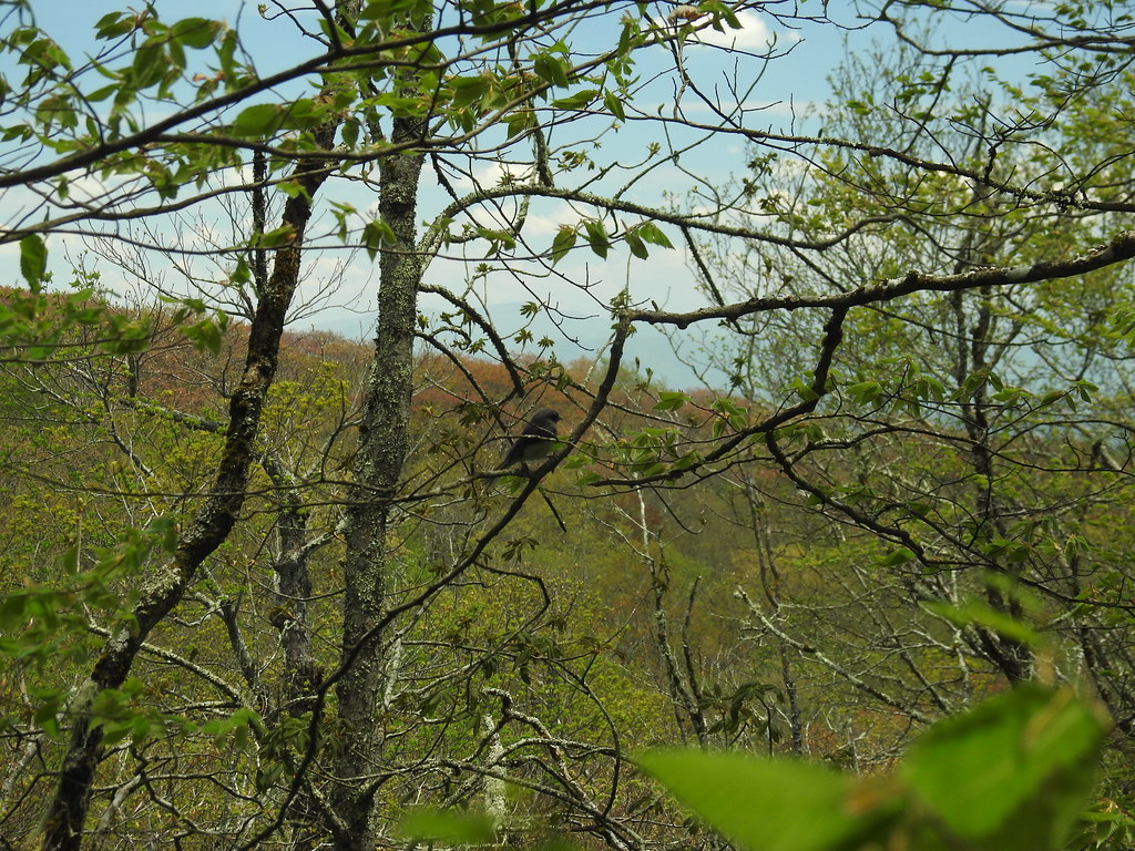 Hooper BaldHikingPhoto: MichaelGras, CC BY 2.0 (via Flickr)1.8 mi
- Benton Mackaye -Cheoah RdHikingPhoto: pseabolt, CC BY 3.0 (via Wikimedia Commons)2.6 mi
 State Line CgCampingPhoto: Idawriter, CC BY-SA 3.0 (via Wikimedia Commons)3.6 mi
- Holder Cove CampgroundCampingPhoto: Idawriter, CC BY-SA 3.0 (via Wikimedia Commons)3.6 mi
- Rough Ridge CampgroundCamping3.8 mi
- Snowbird CreekCanoeing4.9 mi
- Tellico RiverRiver fishing7 mi
- Laurel TopSummit~1 min drive
- Huckleberry KnobSummit~5 min drive
- Rattlesnake RockSummit~7 min drive
- Wildcat KnobSummit~10 min drive
- Bob BaldSummit~10 min drive
- Stratton BaldSummit~11 min drive
- Chestnut KnobSummit~12 min drive
- Big FodderstackSummit~15 min drive
- Rock Creek KnobSummit~16 min drive
- Cold Spring KnobSummit~17 min drive
Conditions and forecast
Daily highs and lows, wind and the chance of precipitation at the summit for the next 7 days, from the Open-Meteo model.
Questions about Mitchell Lick
How tall is Mitchell Lick?
4,604 ft (1,403 m).
Is there a trail to the top of Mitchell Lick?
We don't know of a mapped trail or route to the summit. Plan the approach with local maps, a guidebook or a local guide.
Ask about this place
Questions about Mitchell Lick: conditions, access, timing. Answers say when something isn't known.
