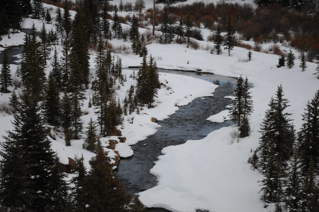
Wilderness Campsite 1
Campground
2.5 mi from the trail
 Photo: Dag Peak, CC BY 2.0 (via Wikimedia Commons)
Mears Peak is a summit of about 13,493 feet in Ouray County, Colorado, inside the Mount Sneffels Wilderness. The peak lies within the Ouray Ranger District of the Grand Mesa, Uncompahgre and Gunnison National Forests, which the Forest Service manages. The nearest town is Mountain Village, about 5 miles away. Iron Mountain is a hike about 2 miles away, and Wilderness Campsite 1 is about 2.5 miles off. Climbers can find Flowsnake Rock and Citradelica Rock within about 2.6 miles.
Where it is: Mount Sneffels Wilderness · Ouray Ranger District
Near: Telluride
Been here? Tell people how it was.
We don't know of a mapped trail or route to the summit of Mears Peak. Plan the approach with local maps, a guidebook or a local guide, and check conditions before you go.


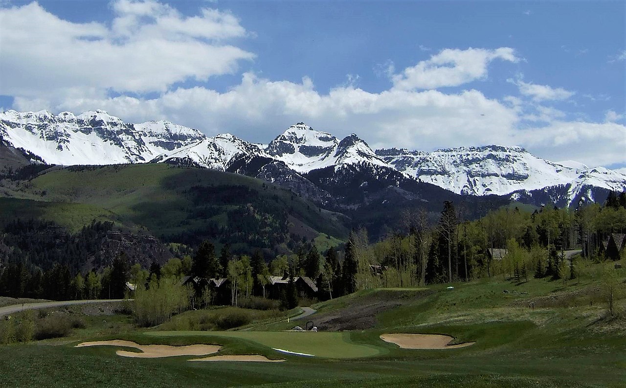


 East Fork Dallas CreekCanoeingPhoto: Boyd Norton, Public domain (via Wikimedia Commons)5 mi
 Leopard CreekCanoeingPhoto: Jeffrey Beall, CC BY 4.0 (via Wikimedia Commons)8.1 miMount SneffelsSummitPhoto: Ken Lund from Reno, Nevada, USA, CC BY-SA 2.0 (via Wikimedia Commons)~7 min driveGilpin PeakSummitPhoto: Greg Willis from Denver, CO, usa, CC BY-SA 2.0 (via Wikimedia Commons)~7 min driveMount EmmaSummitPhoto: Scott Brenner, CC BY 2.0 (via Wikimedia Commons)~8 min drive
 Stony MountainSummitPhoto: dana.m.wilson, CC BY 2.0 (via Wikimedia Commons)~9 min driveTeakettle MountainSummitPhoto: dana.m.wilson, CC BY 2.5 (via Wikimedia Commons)~9 min drive
 Chicago PeakSummitPhoto: Scott Ellis, CC BY-SA 2.0 (via Wikimedia Commons)~14 min drive
 Palmyra PeakSummitPhoto: SNOWBOARDGUIDES.COM, CC BY 2.0 (via Wikimedia Commons)~15 min drive
 Silver MountainSummitPhoto: David Goodman, CC BY 2.0 (via Wikimedia Commons)~16 min drive
 Lookout PeakSummitPhoto: Larry Lamsa, CC BY 2.0 (via Wikimedia Commons)~19 min drive
 Sunshine MountainSummitPhoto: sf-dvs, CC BY 2.0 (via Wikimedia Commons)~19 min drive
Also worth it near here
Daily highs and lows, wind and the chance of precipitation at the summit for the next 7 days, from the Open-Meteo model.
13,493 ft (4,113 m).
We don't know of a mapped trail or route to the summit. Plan the approach with local maps, a guidebook or a local guide.
Questions about Mears Peak: conditions, access, timing. Answers say when something isn't known.
Wilderness Campsite 1
Campground
Places © OpenStreetMap contributors, Places © Overture Maps Foundation
More in Telluride