Mary Jane Falls
At a glance
Mary Jane Falls is a waterfall in the Spring Mountains National Recreation Area, part of the Humboldt-Toiyabe National Forest in southern Nevada. The Forest Service manages the land, and the nearest town is Mount Charleston, about 3.4 miles away. Several other destinations sit close by. The Nueva Esperanza climbing area is about 0.3 miles away, and the Trail Canyon mountain biking route is about 1 mile off. The Charleston Peak Trail South Loop is about 1.5 miles away, and McWilliams campground is about 2.1 miles away.
- elevation
- 9,153 ft
- managed by
- Forest Service
Where it is: Spring Mountains National Recreation Area · Humboldt-Toiyabe National Forest
Near: Las Vegas
Been here? Tell people how it was.
Route to Mary Jane Falls
- Nueva EsperanzaRock climbing0.3 mi
- Walla Walla WashRock climbing0.5 mi
- Yellow PineRock climbing0.5 mi
 Trail CanyonMountain bikingPhoto: Famartin, CC BY-SA 4.0 (via Wikimedia Commons)1 mi
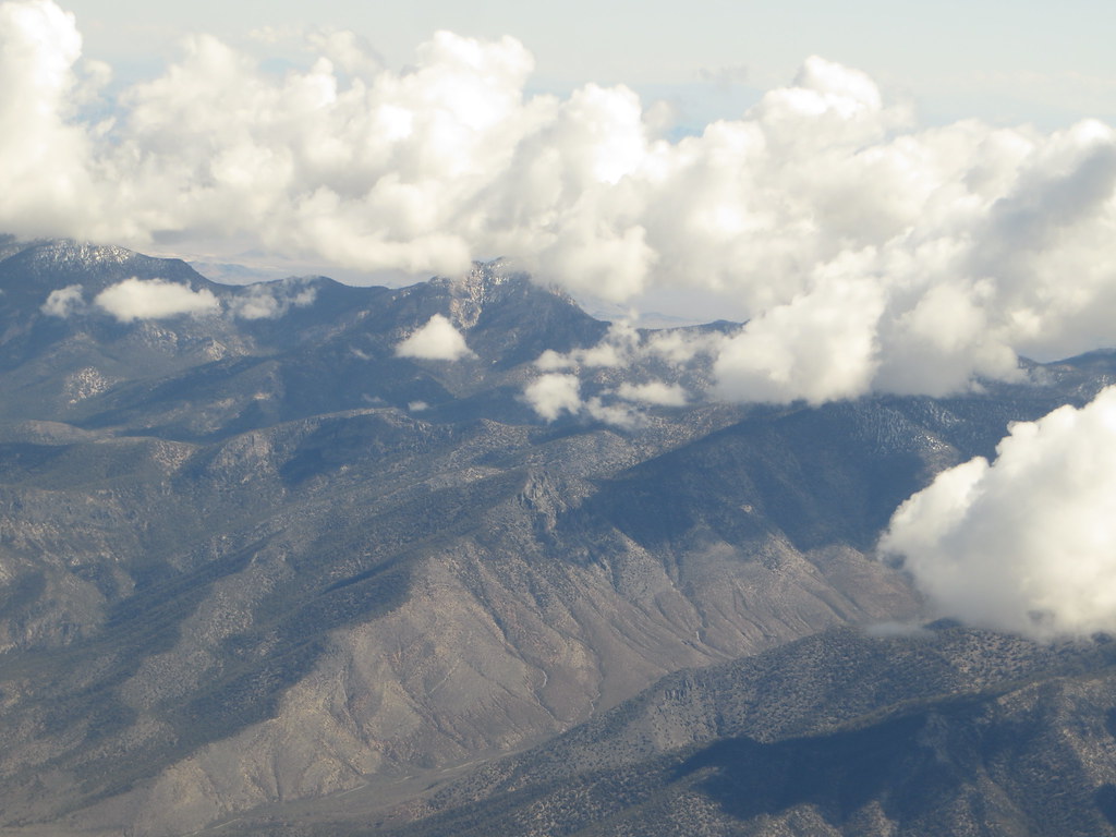 Charleston Peak Trail South LoopHikingPhoto: Ken Lund, CC BY-SA 2.0 (via Flickr)1.5 mi
 Green TrailHikingPhoto: Ken Lund, CC BY-SA 2.0 (via Flickr)1.7 mi
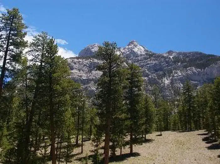 Foxtail Grp Picnic AreaCampingPhoto: Recreation.gov (RIDB) / public domain2 mi
- McWilliamsCamping2.1 mi
Conditions and forecast
Daily highs and lows, wind and the chance of precipitation at Mary Jane Falls for the next 7 days, from the Open-Meteo model.


Ask about this place
Questions about Mary Jane Falls: conditions, access, timing. Answers say when something isn't known.
