


Pinnacles Campground
Campground
2.7 mi from the trail
 Photo: Vadim Manuylov, CC BY-SA 3.0 (via Wikimedia Commons)
Lower Flumes Formation is a climbing area in Pinnacles National Park in California, managed by the National Park Service. It sits among a cluster of climbing spots and trails, with the Upper Flumes Formation, Bad Man Mezzanine/Lower and Upper Terraces and Main Face all about 0.1 mile away. A fee is charged for park use. Spring and fall are the most comfortable times to visit. Typical averages from a nearby weather station show May highs around 80°F and October highs around 82°F, while July and August average about 96°F. The area has 10 sport routes, with grades ranging from 5.6 to 5.10a. Among them are Lichen to Lead at 5.6, Tilting Terrace at 5.8, and Nipples and Knobs at 5.10a.
10 routes · 5.6 – 5.10a · Sport
Where it is: Pinnacles National Park
Near: Soledad
Best months: October–May. Best months have typical highs of 55–85 °F, lows of 30 °F or warmer (32 °F where the station doesn't record snow), at most one snowy day and no more than 12 wet days.
Jan
63°
34°
12 wet
Feb
64°
36°
11 wet
Mar
68°
38°
10 wet
Apr
72°
39°
6 wet
May
80°
43°
3 wet
Jun
89°
47°
1 wet
Jul
96°
50°
0 wet
Aug
96°
50°
0 wet
Sep
92°
48°
1 wet
Oct
82°
43°
3 wet
Nov
70°
37°
7 wet
Dec
62°
33°
11 wet
Typical high / low (°F) and days with rain or snow, 1991–2020. Measured at Pinnacles Nm, CA, 1.6 mi away at 1,307 ft. Source: NOAA NCEI U.S. Climate Normals 1991–2020.
Been here? Tell people how it was.
Balconies Cliffs TrailHikingPhoto: Vadim Manuylov, CC BY-SA 3.0 (via Wikimedia Commons)0.1 mi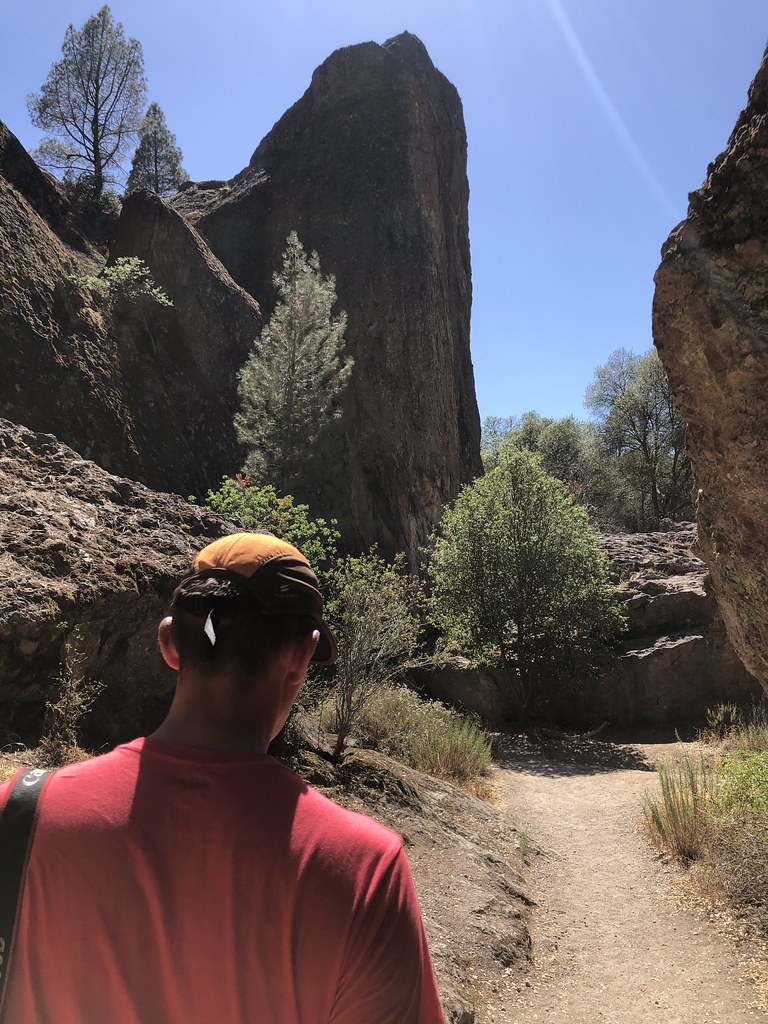 Bad Man Mezzanine/Lower and Upper TerracesRock climbingPhoto: randomduck, CC BY-SA 2.0 (via Flickr)0.1 miMain FaceRock climbingPhoto: randomduck, CC BY-SA 2.0 (via Flickr)0.1 miMachete RidgeRock climbingPhoto: randomduck, CC BY-SA 2.0 (via Flickr)0.1 mi
 Citadel Climber's Access TrailHikingPhoto: Vadim Manuylov, CC BY-SA 3.0 (via Wikimedia Commons)0.2 mi
 Balconies TrailHikingPhoto: Vadim Manuylov, CC BY-SA 3.0 (via Wikimedia Commons)0.4 mi
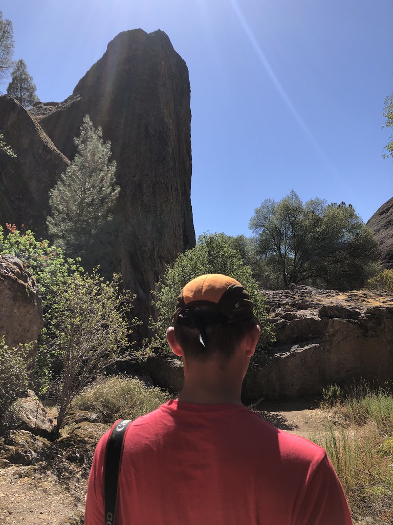 West SideRock climbingPhoto: randomduck, CC BY-SA 2.0 (via Flickr)Next door
 The Bouldering RockRock climbingPhoto: randomduck, CC BY-SA 2.0 (via Flickr)Next door
 The BalconiesRock climbingPhoto: RuggyBearLA, CC BY-SA 2.0 (via Flickr)Next door
 The Stronghold - Lower TierRock climbingPhoto: Vadim Manuylov, CC BY-SA 3.0 (via Wikimedia Commons)Next door
 The Stronghold - Upper TierRock climbingPhoto: RuggyBearLA, CC BY-SA 2.0 (via Flickr)Next door
 High Peaks CentralRock climbingPhoto: lamblukas, CC BY 2.0 (via Flickr)~2 min drive
 High PeaksRock climbingPhoto: lamblukas, CC BY 2.0 (via Flickr)~2 min drive
 Voyeur WallRock climbingPhoto: lamblukas, CC BY 2.0 (via Flickr)~2 min driveHigh Peaks TrailRock climbingPhoto: lamblukas, CC BY 2.0 (via Flickr)~3 min drive
 Tourist TrapRock climbingPhoto: ray_explores, CC BY 2.0 (via Flickr)~3 min drive
Also worth it near here
Daily highs and lows, wind and the chance of precipitation at Lower Flumes Formation for the next 7 days, from the Open-Meteo model.
Questions about Lower Flumes Formation: conditions, access, timing. Answers say when something isn't known.
Pinnacles Campground
Campground
Palmas Restaurant
Restaurant
Places © OpenStreetMap contributors
More in Gonzales