
The Camp
Campground
4.2 mi from the trail
 Photo: iagoarchangel, CC BY-SA 2.0 (via Flickr)
Liberty Cap is a climbing area in Colorado National Monument, managed by the National Park Service. It sits within the monument's land, and a fee is charged for access. The climbing here is traditional, with 15 trad routes and one sport route among the 16 listed. The YDS grades run from 5.10a up to 5.12-, with the median around 5.10c/d. Leprechaun is a 5.10a trad route, and Whirling Dervish is a 5.11a trad route. Irish Pride is the sport option at 5.10d. Spring and fall are the most comfortable times to visit. Typical averages from a nearby weather station show May highs around 74°F and October highs around 66°F, while July averages about 93°F. Other climbing areas close by include Metamorphic Canyon, about 0.4 miles away, and The Gypsies, about 0.6 miles away. Hikers can try Corkscrew Trail, about half a mile off, and Terra Tower Crag is about a mile away.
16 routes · 5.10 – 5.12- · Trad · Sport
Where it is: Colorado National Monument
Near: Grand Junction
Best months: April–May and September–October. Best months have typical highs of 55–85 °F, lows of 30 °F or warmer (32 °F where the station doesn't record snow), at most one snowy day and no more than 12 wet days.
Jan
39°
21°
6 wet · 4 snow
Feb
45°
25°
5 wet · 3 snow
Mar
56°
34°
6 wet · 2 snow
Apr
63°
39°
6 wet · 1 snow
May
74°
49°
6 wet
Jun
87°
58°
4 wet
Jul
93°
65°
6 wet
Aug
90°
62°
7 wet
Sep
80°
54°
7 wet
Oct
66°
41°
6 wet
Nov
50°
31°
6 wet · 2 snow
Dec
39°
22°
6 wet · 4 snow
Typical high / low (°F) and days with rain or snow, 1991–2020. Measured at Colorado Nm, CO, 4.8 mi away at 5,781 ft. Source: NOAA NCEI U.S. Climate Normals 1991–2020.
Been here? Tell people how it was.
 Metamorphic CanyonRock climbingPhoto: iagoarchangel, CC BY-SA 2.0 (via Flickr)0.4 mi
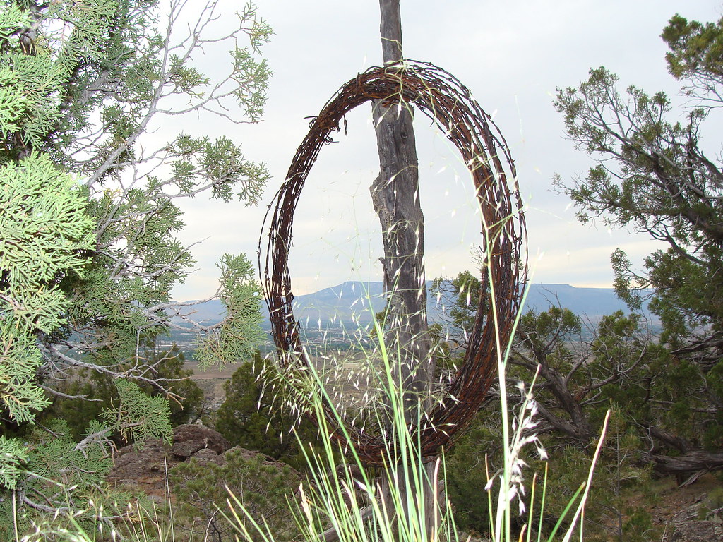 Corkscrew TrailHikingPhoto: iagoarchangel, CC BY-SA 2.0 (via Flickr)0.5 miThe GypsiesRock climbingPhoto: iagoarchangel, CC BY-SA 2.0 (via Flickr)0.6 mi
 South BroadwayHikingPhoto: iagoarchangel, CC BY-SA 2.0 (via Flickr)1.3 miWildwood DriveHikingPhoto: iagoarchangel, CC BY-SA 2.0 (via Flickr)1.3 mi
 Junction West RV ParkCampingPhoto: Milonica, CC BY-SA 3.0 (via Wikimedia Commons)4.5 miMetamorphic CanyonRock climbingPhoto: iagoarchangel, CC BY-SA 2.0 (via Flickr)Next doorThe GypsiesRock climbingPhoto: iagoarchangel, CC BY-SA 2.0 (via Flickr)Next door
 Fallen Rock ClimbsRock climbingPhoto: iagoarchangel, CC BY-SA 2.0 (via Flickr)~4 min drive
 Astro Bunny AreaRock climbingPhoto: daveynin, CC BY 2.0 (via Flickr)~4 min drive
 Devil's KitchenRock climbingPhoto: iagoarchangel, CC BY-SA 2.0 (via Flickr)~5 min drive
 Dynamite Cliff BandRock climbingPhoto: Owen Richard, CC BY-SA 2.0 (via Flickr)~5 min driveLancer BoulderRock climbingPhoto: Owen Richard, CC BY-SA 2.0 (via Flickr)~5 min drive
 Ute CanyonRock climbingPhoto: iagoarchangel, CC BY-SA 2.0 (via Flickr)~3 min driveD-Shacks CliffbandRock climbingPhoto: Owen Richard, CC BY-SA 2.0 (via Flickr)~5 min drive
Daily highs and lows, wind and the chance of precipitation at Liberty Cap for the next 7 days, from the Open-Meteo model.
Questions about Liberty Cap: conditions, access, timing. Answers say when something isn't known.
The Camp
Campground
 If it rainsJeffrey Beall, CC BY-SA 3.0 · Wikimedia Commons
Places © OpenStreetMap contributors, Places © Overture Maps Foundation · Photos: Jeffrey Beall, CC BY-SA 3.0 (commons)
More in Clifton