Junction West RV Park
Campground
Campground · 4.0 mi from the trail
 Photo: iagoarchangel, CC BY-SA 2.0 (via Flickr)
Clear at last check
Weather is good · OpenWeather · checked 17 h ago
Alert in the area
The National Park Service lists an alert for Colorado National Monument.
Year-round Fire Restrictions in Effect
Park alert covering Colorado National Monument · NPS · Colorado National Monument
As of · Source: NPS · Colorado National Monument. Agencies don't list every closure — check before you go.
Corkscrew Trail is a moderate out-and-back hike in Colorado National Monument, managed by the National Park Service. The trail is about 1.3 miles long, and the round trip covers roughly 2.7 miles with a total elevation gain of about 1,490 feet. The route starts at an elevation of about 4,970 feet and climbs to a high point of about 5,558 feet, with the steepest stretch at about 0.85 miles in, where the grade reaches 40 percent. Spring and fall are the most comfortable times to go. Typical averages from a nearby weather station show May highs around 74°F and October highs around 66°F, while July averages about 93°F and winter brings frequent snow days. The trail sits close to several climbing areas, including Liberty Cap about half a mile away and Terra Tower Crag and Metamorphic Canyon within a mile. South Broadway, another hike, is about 0.9 miles off.
Junction West RV Park
Campground
 If it rainsJeffrey Beall, CC BY-SA 3.0 · Wikimedia Commons
Places © OpenStreetMap contributors, Places © Overture Maps Foundation · Photos: Jeffrey Beall, CC BY-SA 3.0 (commons)
More in CliftonNot on Roamze yet. Their page has how to reach them.
 Liberty CapRock climbingPhoto: iagoarchangel, CC BY-SA 2.0 (via Flickr)0.5 mi
 Metamorphic CanyonRock climbingPhoto: iagoarchangel, CC BY-SA 2.0 (via Flickr)0.8 mi
 South BroadwayHikingPhoto: iagoarchangel, CC BY-SA 2.0 (via Flickr)0.9 miWildwood DriveHikingPhoto: iagoarchangel, CC BY-SA 2.0 (via Flickr)0.9 mi
 Junction West RV ParkCampingPhoto: Milonica, CC BY-SA 3.0 (via Wikimedia Commons)4 mi
Source: Roamze catalog (indexable pages within 10 miles, PostGIS distance)
Wildwood DriveHiking · ~2 min drivePhoto: iagoarchangel, CC BY-SA 2.0 (via Flickr) Bench TrailHiking · ~4 min drivePhoto: daveynin, CC BY 2.0 (via Wikimedia Commons)
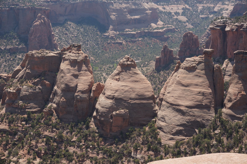 Monument Canyon TrailHiking · ~6 min drivePhoto: Andrew and Annemarie, CC BY-SA 2.0 (via Flickr)South BroadwayHiking · ~2 min drivePhoto: iagoarchangel, CC BY-SA 2.0 (via Flickr)
 Serpents TrailHiking · ~4 min drivePhoto: iagoarchangel, CC BY-SA 2.0 (via Flickr)
 No Thoroughfare Canyon RouteHiking · ~6 min drivePhoto: iagoarchangel, CC BY-SA 2.0 (via Flickr)
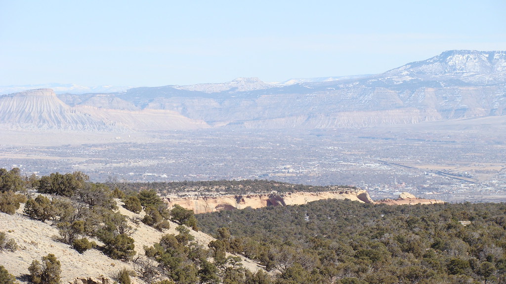 Otto's TrailHiking · ~3 min drivePhoto: iagoarchangel, CC BY-SA 2.0 (via Flickr)Irishmans TrailHiking · ~4 min drivePhoto: daveynin, CC BY 2.0 (via Wikimedia Commons)
 Devil's Kitchen TrailHiking · ~5 min drivePhoto: iagoarchangel — CC BY-SA 2.0 (via Flickr)
 Ute Canyon TrailHiking · ~5 min drivePhoto: iagoarchangel, CC BY-SA 2.0 (via Flickr)
Best months: April–May and September–October. Best months have typical highs of 55–85 °F, lows of 30 °F or warmer (32 °F where the station doesn't record snow), at most one snowy day and no more than 12 wet days.
Jan
39° / 21°
6 wet · 4 snow
Feb
45° / 25°
5 wet · 3 snow
Mar
56° / 34°
6 wet · 2 snow
Apr
63° / 39°
6 wet · 1 snow
May
74° / 49°
6 wet
Jun
87° / 58°
4 wet
Jul
93° / 65°
6 wet
Aug
90° / 62°
7 wet
Sep
80° / 54°
7 wet
Oct
66° / 41°
6 wet
Nov
50° / 31°
6 wet · 2 snow
Dec
39° / 22°
6 wet · 4 snow
Typical high / low (°F) and days with rain or snow, 1991–2020. Measured at Colorado Nm, CO, 4.5 mi away at 5,781 ft. Source: NOAA NCEI U.S. Climate Normals 1991–2020.
Map and trail data © OpenStreetMap contributors

