Isanaklesh Peaks
 Photo: Unknown authorUnknown author, Public domain (via Wikimedia Commons)
At a glance
Isanaklesh Peaks is a summit in Maricopa County, Arizona, rising to about 2,470 feet on land managed by the Bureau of Land Management's Lower Sonoran Field Office. The nearest town is Gila Bend, about 16 miles away. Winter and early spring are the most comfortable times to visit. Typical averages from a nearby weather station show January highs around 69°F with lows near 37°F, while summer highs climb past 100°F. That station sits well below the summit, so temperatures up top run cooler. The closest nearby destination is the South Maricopa Mountains Wilderness Area, about 7 miles away.
- summit
- 2,470 ft
- managed by
- Bureau of Land Management
- best months
- Mid-Nov–late Feb
Where it is: Lower Sonoran Field Office
Near: Goodyear
Best weeks to go
Mid-November to late February is usually best for the summit here.
Typical highs of 66–75°F and lows of 35°F or warmer in those weeks.
Typical weather: NOAA 1991–2020 normals at Maricopa 4 N, AZ, 32 mi away. Not a forecast.
Typical weather by monthBest time to visit Isanaklesh Peaks
Best months: December–February. Best months are the ones mostly made of the best weeks for the summit: typical temperatures in its comfortable range, few snowy days and not usually wet, judged with the same limits as our good-day forecasts.
Jan
69°
37°
4 wet
Feb
73°
40°
4 wet
Mar
80°
45°
3 wet
Apr
88°
51°
1 wet
May
97°
59°
1 wet
Jun
107°
69°
1 wet
Jul
109°
78°
3 wet
Aug
107°
77°
4 wet
Sep
102°
69°
3 wet
Oct
91°
55°
2 wet
Nov
78°
43°
2 wet
Dec
67°
35°
4 wet
Typical high / low (°F) and days with rain or snow, 1991–2020. Measured at Maricopa 4 N, AZ, 31.7 mi away at 1,160 ft. The station sits about 1,300 ft lower than this place, so expect it a little cooler here. Source: NOAA NCEI U.S. Climate Normals 1991–2020.
Been here? Tell people how it was.
We don't know of a mapped trail or route to the summit of Isanaklesh Peaks. Plan the approach with local maps, a guidebook or a local guide, and check conditions before you go.
- Table Top4,378 ft · Arizona1 route21 mi away
- Goat Hill2,331 ft · Arizona2 routes40 mi away
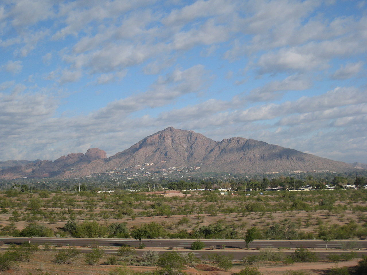 Camelback Mountain2,702 ft · Arizona2 routes55 mi awayPhoto: Dru Bloomfield from Scottsdale, Arizona, USA, CC BY 2.0 (via Wikimedia Commons)
 Piestewa Peak2,596 ft · Arizona1 route55 mi awayPhoto: Ted Eytan, CC BY-SA 2.0 (via Wikimedia Commons)
 North Mountain2,099 ft · Arizona1 route56 mi awayPhoto: Aznaturalist, CC BY-SA 3.0 (via Wikimedia Commons)
- West Wing Mountain1,932 ft · Arizona2 routes63 mi away
Conditions and forecast
Daily highs and lows, wind and the chance of precipitation at the summit for the next 7 days, from the Open-Meteo model.
Questions about Isanaklesh Peaks
How tall is Isanaklesh Peaks?
2,470 ft (753 m).
Is there a trail to the top of Isanaklesh Peaks?
We don't know of a mapped trail or route to the summit. Plan the approach with local maps, a guidebook or a local guide.


Ask about this place
Questions about Isanaklesh Peaks: conditions, access, timing. Answers say when something isn't known.
