Inferno Cone
 Photo: Clyde Charles Brown, CC BY-SA 4.0 (via Wikimedia Commons)
At a glance
Inferno Cone is a summit of 6,184 feet in Craters of the Moon National Monument in southern Idaho, managed by the National Park Service. The nearest town is Lost River, about 17 miles away. Summer is the most comfortable time to visit. Typical averages from a nearby weather station show July highs around 83°F with lows near 56°F and only about three wet days in the month. Winter is much colder, with January highs near 27°F. Several trails start close by. Big Craters is about half a mile away, and Devils Orchard Nature Trail and Caves Trail are each under a mile off. North Crater Trail is about a mile away.
- summit
- 6,184 ft
- managed by
- National Park Service
- best months
- May–Oct
Where it is: Craters of the Moon National Monument
Near: Arco
Best time to visit Inferno Cone
Best months: May–October. Best months have typical highs of 55–85 °F, lows of 30 °F or warmer (32 °F where the station doesn't record snow), at most one snowy day and no more than 12 wet days.
Jan
27°
13°
11 wet
Feb
30°
15°
9 wet
Mar
40°
23°
11 wet
Apr
51°
31°
10 wet
May
62°
40°
11 wet
Jun
72°
46°
7 wet
Jul
83°
56°
3 wet
Aug
82°
54°
4 wet
Sep
71°
45°
5 wet
Oct
56°
34°
7 wet
Nov
39°
22°
9 wet
Dec
27°
13°
11 wet
Typical high / low (°F) and days with rain or snow, 1991–2020. Measured at Arco 17 Sw, ID, 1.3 mi away at 5,920 ft. This station doesn't record snowfall. Source: NOAA NCEI U.S. Climate Normals 1991–2020.
Been here? Tell people how it was.
We don't know of a mapped trail or route to the summit of Inferno Cone. Plan the approach with local maps, a guidebook or a local guide, and check conditions before you go.
- Swede Peak8,506 ft · Idaho1 route26 mi away
- Ruud Mountain6,700 ft · Idaho1 route43 mi away
 Mount Breitenbach12,141 ft · Idaho1 route43 mi awayPhoto: G. Thomas Fredlyfish4, CC BY-SA 3.0 (via Wikimedia Commons)
- Leatherman Peak12,225 ft · Idaho1 route45 mi awayPhoto: G. Thomas Fredlyfish4, CC BY-SA 3.0 (via Wikimedia Commons)
 Borah Peak12,659 ft · Idaho2 routes49 mi awayPhoto: Leaflet, Public domain (via Wikimedia Commons)
- Herd Peak9,858 ft · Idaho2 routes50 mi away
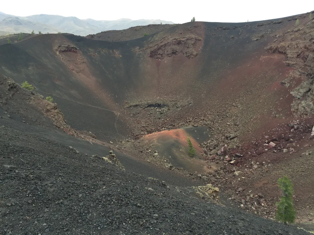 Big CratersHikingPhoto: NPS / public domain0.4 mi
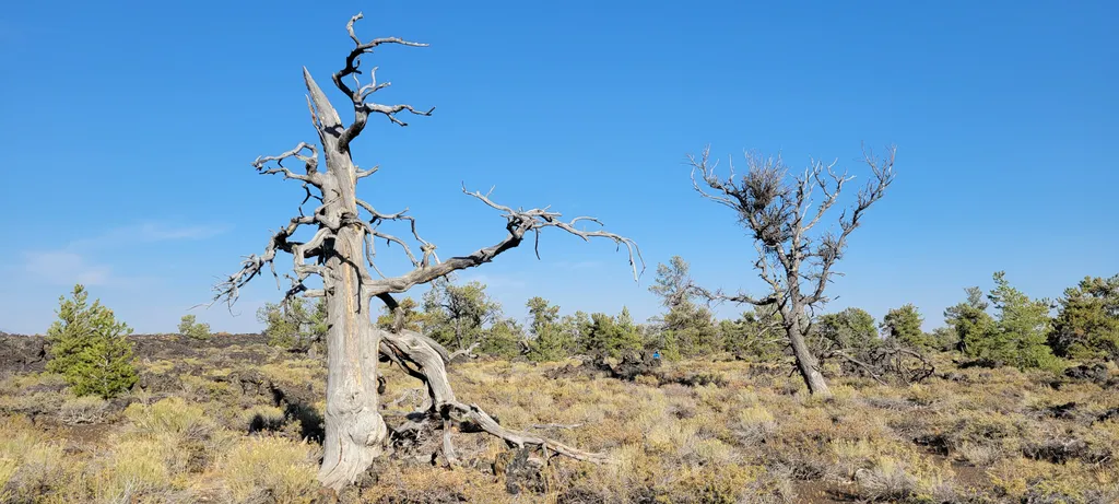 Devils Orchard Nature TrailHikingPhoto: NPS / public domain0.9 mi
 Caves TrailHikingPhoto: RuggyBearLA, CC BY 2.0 (via Flickr)0.9 mi
 North Crater TrailHikingPhoto: RuggyBearLA, CC BY 2.0 (via Flickr)1 mi
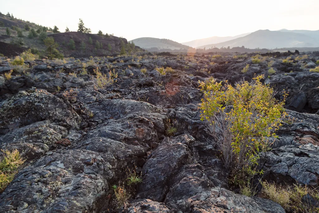 North Crater Flow TrailHikingPhoto: NPS / public domain1 mi
 Broken Top Loop TrailHikingPhoto: TexasExplorer98, CC BY 2.0 (via Flickr)1.1 mi
 Tree Molds TrailHikingPhoto: quinn.anya, CC BY-SA 2.0 (via Flickr)1.1 mi
 Wilderness TrailHikingPhoto: RuggyBearLA, CC BY 2.0 (via Flickr)1.4 mi
 Smiley MountainSummitPhoto: Ben Christenson, CC BY 2.0 (via Wikimedia Commons)~38 min drive
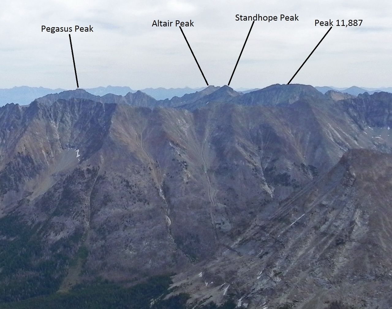 Standhope PeakSummitPhoto: Fredlyfish4, CC BY-SA 3.0 (via Wikimedia Commons)~57 min drive
 Cobb PeakSummitPhoto: Fredlyfish4, CC BY-SA 3.0 (via Wikimedia Commons)~60 min drive
 Old Hyndman PeakSummitPhoto: Fredlyfish4, CC BY-SA 3.0 (via Wikimedia Commons)~1h drive
 Hyndman PeakSummitPhoto: Fredlyfish4, CC BY-SA 3.0 (via Wikimedia Commons)~1h 2m drive
 Bald MountainSummitPhoto: Sam Beebe, CC BY-SA 2.0 (via Wikimedia Commons)~1h 18m drive
- Borah PeakSummitPhoto: Leaflet, Public domain (via Wikimedia Commons)~1h 24m drive
 Mount McCalebSummitPhoto: BLMIdaho, CC BY 2.5 (via Wikimedia Commons)~1h 5m drive
- Mount BreitenbachSummitPhoto: G. Thomas
Fredlyfish4, CC BY-SA 3.0 (via Wikimedia Commons)~1h 14m drive
- Donaldson PeakSummitPhoto: G. Thomas
Fredlyfish4, CC BY-SA 3.0 (via Wikimedia Commons)~1h 15m drive
Conditions and forecast
Daily highs and lows, wind and the chance of precipitation at the summit for the next 7 days, from the Open-Meteo model.
Questions about Inferno Cone
How tall is Inferno Cone?
6,184 ft (1,885 m).
Is there a trail to the top of Inferno Cone?
We don't know of a mapped trail or route to the summit. Plan the approach with local maps, a guidebook or a local guide.
Ask about this place
Questions about Inferno Cone: conditions, access, timing. Answers say when something isn't known.
