Hooper Bald
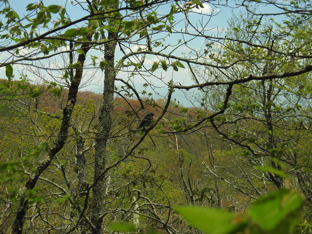 Photo: MichaelGras, CC BY 2.0 (via Flickr)
At a glance
Hooper Bald is a short, easy hike in the Cheoah Ranger District of the National Forests in North Carolina, managed by the Forest Service. The route is an out-and-back of about 0.8 miles, with a total elevation gain of about 117 feet, so it's a gentle walk that fits easily into a longer day on the forest trails. Spring and fall are the most comfortable times to go. Typical averages from the nearby Tapoco weather station show October highs around 69°F with lows near 46°F, and April highs around 70°F. That station sits at about 1,110 feet, so temperatures on the bald may run a little cooler. Several other trails start close by. Mitchell Lick is about 0.4 miles away and Huckleberry about 0.8 miles. Snowbird Mountain is roughly 1.3 miles off, and Snowbird Creek, a canoeing spot, is about 4 miles away.
- round trip
- 0.4 mi
- climb
- 117 ft
- route
- Out and back
- difficulty
- Easy
- best months
- Mar–Jun, Aug–Nov
Where it is: Cheoah Ranger District · National Forests in North Carolina
Near: Maryville
Best time to visit Hooper Bald
Best months: March–June and August–November. Best months have typical highs of 55–85 °F, lows of 30 °F or warmer (32 °F where the station doesn't record snow), at most one snowy day and no more than 12 wet days.
Jan
48°
28°
12 wet
Feb
52°
31°
11 wet
Mar
60°
37°
12 wet
Apr
70°
44°
11 wet
May
77°
52°
12 wet
Jun
83°
59°
12 wet
Jul
86°
62°
13 wet
Aug
85°
61°
10 wet
Sep
79°
56°
8 wet
Oct
69°
46°
9 wet
Nov
59°
36°
10 wet
Dec
50°
31°
12 wet
Typical high / low (°F) and days with rain or snow, 1991–2020. Measured at Tapoco, NC, 10.5 mi away at 1,110 ft. We don't have this place's elevation, so higher spots nearby can run cooler. This station doesn't record snowfall. Source: NOAA NCEI U.S. Climate Normals 1991–2020.
Been here? Tell people how it was.
 Mitchell LickHikingPhoto: pseabolt, CC BY 3.0 (via Wikimedia Commons)0.4 mi
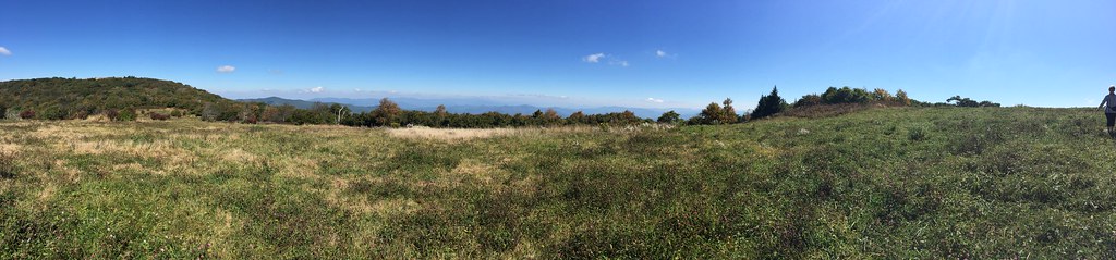 HuckleberryHikingPhoto: wordjunky, CC BY 2.0 (via Flickr)0.8 mi
- Snowbird MountainHikingPhoto: pseabolt, CC BY 3.0 (via Wikimedia Commons)1.3 mi
- Snowbird CreekCanoeing4 mi
 Santeetlah Creek CampsitesCampingPhoto: Ken Thomas, Public domain (via Wikimedia Commons)4.5 mi
- Donley CabinCamping5.4 mi
 Holder Cove CampgroundCampingPhoto: Idawriter, CC BY-SA 3.0 (via Wikimedia Commons)5.4 mi
- Tellico RiverRiver fishing8.1 mi
- HuckleberryHikingPhoto: wordjunky, CC BY 2.0 (via Flickr)~1 min drive
- Snowbird MountainHikingPhoto: pseabolt, CC BY 3.0 (via Wikimedia Commons)~2 min drive
- Benton Mackaye -Cheoah RdHikingPhoto: pseabolt, CC BY 3.0 (via Wikimedia Commons)~4 min drive
 FODDERSTACK MOUNTAINHikingPhoto: MichaelGras, CC BY 2.0 (via Flickr)~6 min drive
 Wright's CreekHikingPhoto: MichaelGras, CC BY 2.0 (via Flickr)~4 min drive
 Naked GroundHikingPhoto: Ken Thomas, Public domain (via Wikimedia Commons)~9 min drive
- Mitchell LickHikingPhoto: pseabolt, CC BY 3.0 (via Wikimedia Commons)Next door
- Spirit RidgeHiking~3 min drive
- Jenkins MeadowHikingPhoto: Ken Thomas, Public domain (via Wikimedia Commons)~10 min drive
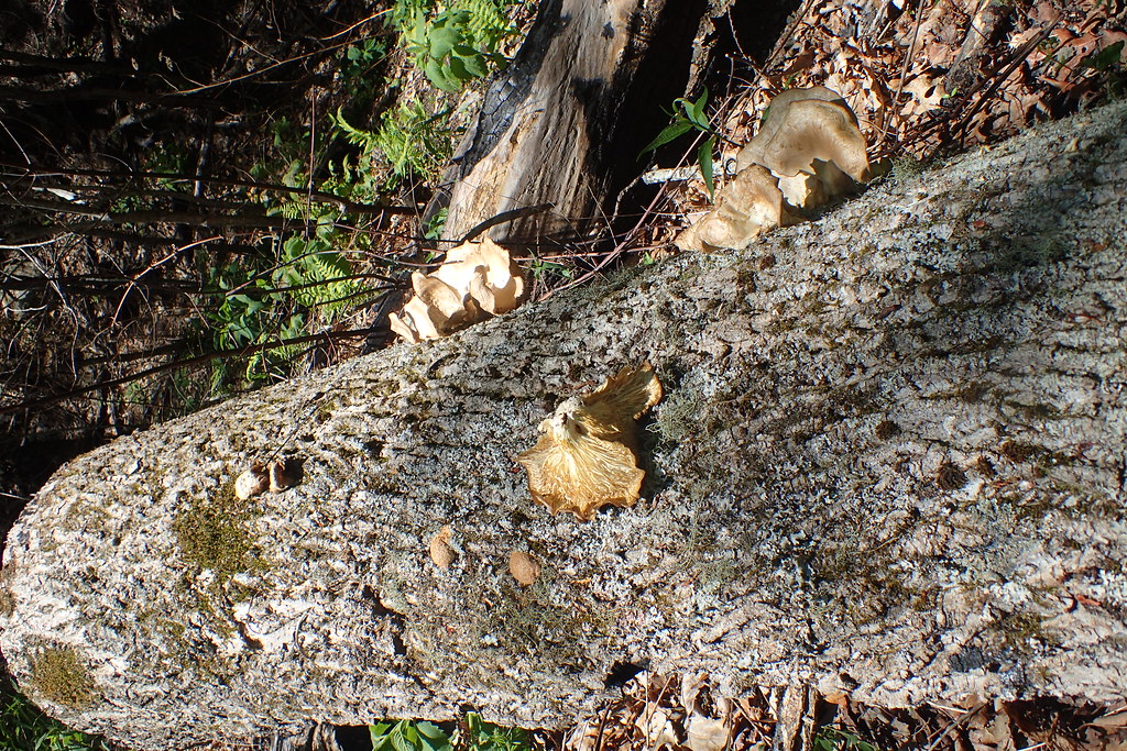 DEEP CREEK CONNECTORHikingPhoto: MichaelGras, CC BY 2.0 (via Flickr)~13 min drive
Conditions and forecast
Daily highs and lows, wind and the chance of precipitation at Start for the next 7 days, from the Open-Meteo model.
Ask about this place
Questions about Hooper Bald: conditions, access, timing. Answers say when something isn't known.
Local outfitters
- GSM Outfitters35 mi away
- Hurshel's Outfitters42 mi away
Not on Roamze yet. Their page has how to reach them.
