Hogback Mountain
At a glance
Hogback Mountain is a summit in Vermont, about 3.6 miles from the town of Stowe. It sits in the hills near Stowe, where several short trails and river access points cluster within a few miles of one another. Summer is the most comfortable season to head up. Typical averages from a nearby weather station on Mt Mansfield show July highs around 69°F with lows near 55°F. Precipitation is frequent all year, with about 14 to 16 wet days a month from spring through fall. Winter is far colder, with January highs averaging just 21°F. The Hogback Trail starts less than half a mile away, and the Pinnacle Meadow Trail and Stowe Pinnacle Trail are both within about a mile and a half. For time on the water, the Little River offers canoeing roughly 3.7 miles from the summit.
- summit
- 3,232 ft
- way up
- 1
Near: Stowe · 3.6 mi
Best time to visit Hogback Mountain
No month here meets our mild-weather rule. Best months have typical highs of 55–85 °F, lows of 30 °F or warmer (32 °F where the station doesn't record snow), at most one snowy day and no more than 12 wet days.
Jan
21°
6°
21 wet
Feb
23°
7°
18 wet
Mar
30°
16°
17 wet
Apr
43°
28°
15 wet
May
57°
41°
16 wet
Jun
65°
50°
16 wet
Jul
69°
55°
16 wet
Aug
68°
54°
15 wet
Sep
61°
47°
14 wet
Oct
48°
35°
15 wet
Nov
36°
23°
17 wet
Dec
27°
13°
21 wet
Typical high / low (°F) and days with rain or snow, 1991–2020. Measured at Mt Mansfield, VT, 11 mi away at 3,950 ft. The station sits about 700 ft higher than this place, so expect it a little warmer here. This station doesn't record snowfall. Source: NOAA NCEI U.S. Climate Normals 1991–2020.
Been here? Tell people how it was.
Map © Mapbox © OpenStreetMap contributors Hazards
- Muddy conditions
- Root hazards
- Seasonal ice
Season
Trail may be muddy during spring snowmelt; beautiful fall foliage viewing; winter conditions may require snowshoes or microspikes
- Stowe Pinnacle2,638 ft · Vermont1 route0.5 mi away
- Mount Hunger3,537 ft · Vermont4 routes1.9 mi away
- Mount Worcester3,290 ft · Vermont2 routes2.9 mi away
- Elmore Mountain2,607 ft · Vermont2 routes8.6 mi away
- Bolton Mountain3,712 ft · Vermont1 route9.8 mi away
- Mount Mayo3,135 ft · Vermont1 route9.9 mi away
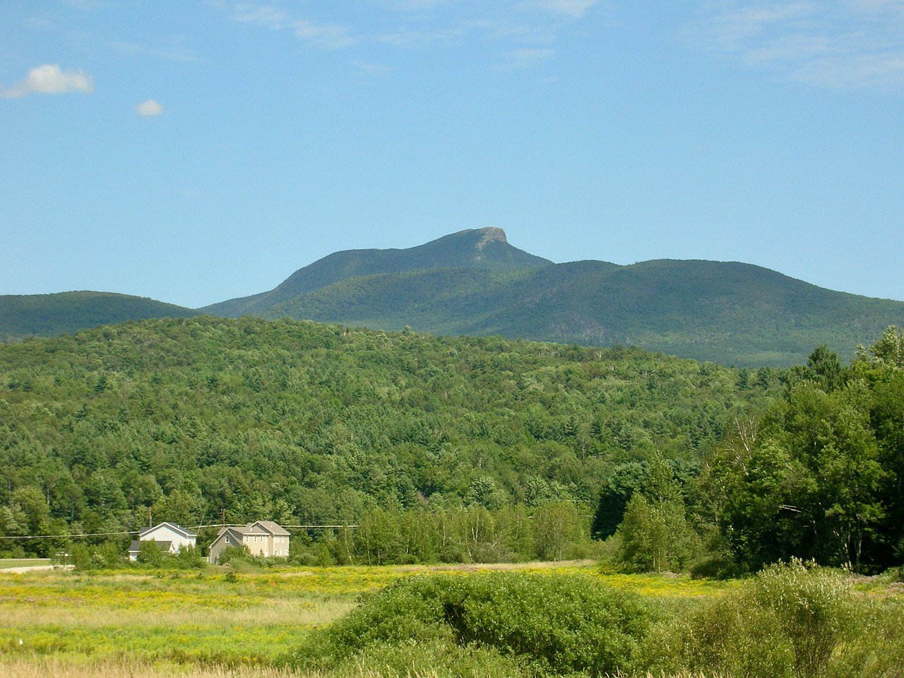 Camels HumpSummitPhoto: Niranjan Arminius, CC BY-SA 4.0 (via Wikimedia Commons)~24 min drive
 Mount Ethan AllenSummitPhoto: Niranjan Arminius, CC BY-SA 4.0 (via Wikimedia Commons)~26 min drive
 Mount EllenSummitPhoto: dvs, CC BY 2.0 (via Wikimedia Commons)~40 min drive
 Mount AbrahamSummitPhoto: User:Magicpiano, CC BY-SA 4.0 (via Wikimedia Commons)~44 min drive
 Big JaySummitPhoto: Petersent, Public domain (via Wikimedia Commons)~59 min drive
 Jay PeakSummitPhoto: Hanumanix at English Wikipedia, Public domain (via Wikimedia Commons)~1h drive
- Stowe PinnacleSummitNext door
- Mount HungerSummit~3 min drive
- White Rock MountainSummit~4 min drive
- Mount WorcesterSummit~5 min drive
Conditions and forecast
Daily highs and lows, wind and the chance of precipitation at the summit and route start for the next 7 days, from the Open-Meteo model.
Questions about Hogback Mountain
How tall is Hogback Mountain?
3,232 ft (985 m).
How many routes go to the summit of Hogback Mountain?
One: Hogback Trail.
When is the best time to climb Hogback Mountain?
Spring, summer, fall.

Ask about this place
Questions about Hogback Mountain: conditions, access, timing. Answers say when something isn't known.
