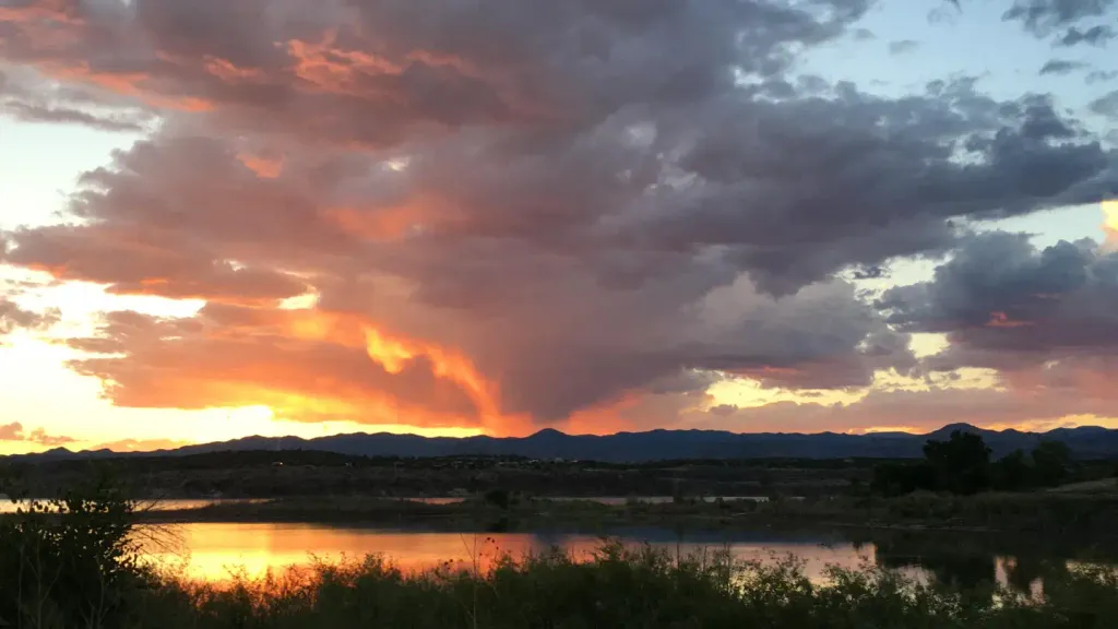
Ponderosa Reservation Group Campground
Campground
4.3 mi from the trail
The Hinterlands is a climbing area in the Dome Wilderness, part of the Jemez Ranger District of the Santa Fe National Forest in New Mexico. The Forest Service manages the land, and the area sits within designated wilderness. The climbing here is all trad, with 13 routes spread across the area. The grades run from 5.9 up to 5.12+, with the median around 5.10+. Among the named routes are Linter Hands at 5.9, Deathly Hollow at 5.10, and Mars Crack at 5.12+. Spring and fall are the most comfortable times to visit. Typical averages from a nearby weather station in Los Alamos show May highs around 70°F and October highs around 63°F, while July and August bring the most wet days, about 13 to 14 a month. Several other climbing areas lie within a few tenths of a mile, including Capulet Side Canyon, Capulin Canyon and Upper Wall. The Capulin hike is about a mile away.
13 routes · 5.9 – 5.12+ · Trad
Where it is: Dome Wilderness · Jemez Ranger District
Near: Santa Fe
Best months: April–June and September–October. Best months have typical highs of 55–85 °F, lows of 30 °F or warmer (32 °F where the station doesn't record snow), at most one snowy day and no more than 12 wet days.
Jan
40°
21°
6 wet
Feb
45°
24°
6 wet
Mar
53°
30°
7 wet
Apr
61°
35°
6 wet
May
70°
44°
6 wet
Jun
81°
53°
7 wet
Jul
83°
57°
13 wet
Aug
80°
55°
14 wet
Sep
74°
49°
9 wet
Oct
63°
38°
6 wet
Nov
50°
28°
5 wet
Dec
40°
21°
6 wet
Typical high / low (°F) and days with rain or snow, 1991–2020. Measured at Los Alamos, NM, 7.1 mi away at 7,424 ft. This station doesn't record snowfall. Source: NOAA NCEI U.S. Climate Normals 1991–2020.
Been here? Tell people how it was.
Daily highs and lows, wind and the chance of precipitation at The Hinterlands for the next 7 days, from the Open-Meteo model.
Questions about The Hinterlands: conditions, access, timing. Answers say when something isn't known.
Ponderosa Reservation Group Campground
Campground
Stone Kiva Restaurant
American restaurant
 If it rainsNewMexicophotographer1, CC BY-SA 4.0 · Wikimedia Commons
Places © OpenStreetMap contributors, Places © Overture Maps Foundation · Photos: NewMexicophotographer1, CC BY-SA 4.0 (commons)
More in Santo Domingo Pueblo