Hillsboro
At a glance
Hillsboro is a summit in the Black Range Ranger District of the Gila National Forest in southwestern New Mexico, about 5 miles from the small town of Kingston. It sits at the center of a cluster of named trails, several of which pass within a few tenths of a mile of the top. That makes it a natural goal for hikers working their way through this part of the Black Range. Cdt Jov runs just 0.1 mile from the summit. Hillsboro Peak Bypass Trail #412 and Ladrone Gulch Trail #127 are each about 0.3 mile away. For an overnight base, Iron Creek Campground lies about 3 miles off, and Kingston Campground sits close to Kingston itself.
- summit
- 10,017 ft
- ways up
- 3
Where it is: Black Range Ranger District · Gila National Forest
Near: Silver City
Been here? Tell people how it was.
- Cdt JovEasyabout 914 ft of climbing0.6 mi round trip
- Animas Divide Trail (117)Expertabout 4,500 ft of climbing20.6 mi round trip
- Black Range Crest Trail #79ExpertFrom Board Gate Saddle Trailhead (about 9,356 ft) · about 2,755 ft of climbing24.7 mi round trip
Compare the routes Cdt Jov Animas Divide Trail (117) Black Range Crest Trail #79 Starts at — — Board Gate Saddle Trailhead Climbing About 914 ft About 4,500 ft About 2,755 ft Round trip 0.6 mi 20.6 mi 24.7 mi Difficulty Easy Expert Expert Terrain Hike Hike Hike Map © Mapbox © OpenStreetMap contributors  Reeds Peak10,015 ft · New Mexico1 route14 mi awayPhoto: Patrick Alexander from Las Cruces, NM, CC0 (via Wikimedia Commons)
- Diamond Peak9,850 ft · New Mexico1 route19 mi away
- Middle Mesa7,509 ft · New Mexico1 route22 mi away
- Black Peak9,033 ft · New Mexico2 routes22 mi away
- Signal Peak9,000 ft · New Mexico1 route23 mi away
- Snake Hill6,131 ft · New Mexico1 route25 mi away
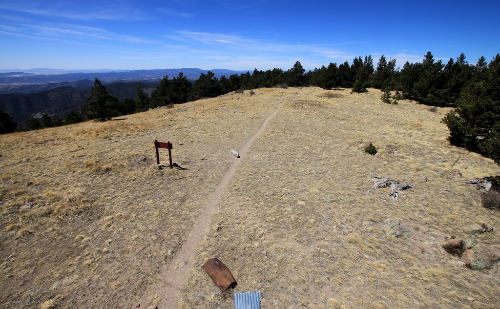 Cdt JovHikingPhoto: uıɐɾ ʞ ʇɐɯɐs, CC BY-SA 2.0 (via Flickr)0.1 mi
 Hillsboro Peak Bypass Trail #412HikingPhoto: uıɐɾ ʞ ʇɐɯɐs, CC BY-SA 2.0 (via Flickr)0.3 mi
- Ladrone Gulch Trail #127HikingPhoto: uıɐɾ ʞ ʇɐɯɐs, CC BY-SA 2.0 (via Flickr)0.3 mi
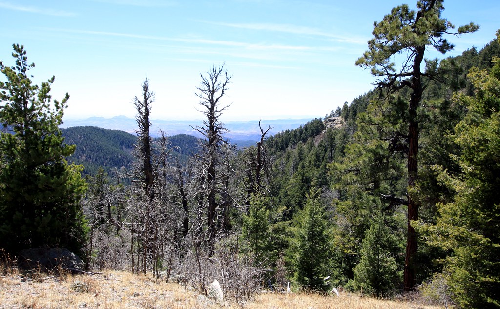 Old Mineral CreekHikingPhoto: uıɐɾ ʞ ʇɐɯɐs, CC BY-SA 2.0 (via Flickr)0.4 mi
- Railroad Canyon Trail #128Hiking1.7 mi
- Holden Prong Trail #114Hiking1.7 mi
- Iron Creek CampgroundCamping3.3 mi
- Kingston CampgroundCamping5.1 mi
- Reeds PeakSummitPhoto: Patrick Alexander from Las Cruces, NM, CC0 (via Wikimedia Commons)~24 min drive
- Granite PeakSummit~6 min drive
- Diamond PeakSummit~33 min drive
- Middle MesaSummit~38 min drive
- Signal PeakSummit~40 min drive
- Scott PeakSummit~43 min drive
- Cookes PeakSummit~49 min drive
- Gomez PeakSummit~52 min drive
- Eighty MountainSummit~53 min drive
- Caballo ConeSummit~58 min drive
Conditions and forecast
Daily highs and lows, wind and the chance of precipitation at the summit and route start for the next 7 days, from the Open-Meteo model.
Questions about Hillsboro
How tall is Hillsboro?
10,017 ft (3,053 m).
How many routes go to the summit of Hillsboro?
3: Cdt Jov, Animas Divide Trail (117) and Black Range Crest Trail #79.
What is the shortest route up Hillsboro?
Cdt Jov, about 0.6 mi round trip.
Where do the routes up Hillsboro start?
Black Range Crest Trail #79 starts at Board Gate Saddle Trailhead (about 9,356 ft).

Ask about this place
Questions about Hillsboro: conditions, access, timing. Answers say when something isn't known.
