Town Creek Campground
Campground
6.9 mi from the trail
High Falls is a waterfall in DeKalb County, Alabama, set within High Falls Park about 4.7 miles from the town of Geraldine. It sits at roughly 871 feet in elevation. The most comfortable months tend to be spring and fall. Typical averages from a nearby weather station show October highs around 71°F with lows near 48°F, and April highs near 70°F, while midsummer highs climb into the upper 80s. Several outdoor options lie within a short drive. The Creekside climbing area is about 5 miles away, and the Seales Trail and the Lake Guntersville State Park National Recreation Trail are each about 6 miles off. Paddlers can find Scarham Creek at a similar distance.
Where it is: High Falls Park
Near: Albertville
Best months: March–June and September–November. Best months have typical highs of 55–85 °F, lows of 30 °F or warmer (32 °F where the station doesn't record snow), at most one snowy day and no more than 12 wet days.
Jan
49°
31°
11 wet
Feb
54°
34°
11 wet
Mar
61°
41°
11 wet
Apr
70°
48°
10 wet
May
77°
55°
10 wet
Jun
84°
63°
10 wet
Jul
87°
67°
11 wet
Aug
86°
66°
11 wet
Sep
81°
59°
9 wet
Oct
71°
48°
8 wet
Nov
61°
38°
9 wet
Dec
52°
34°
11 wet
Typical high / low (°F) and days with rain or snow, 1991–2020. Measured at Gadsden 19 N, AL, 10 mi away at 1,152 ft. This station doesn't record snowfall. Source: NOAA NCEI U.S. Climate Normals 1991–2020.
Been here? Tell people how it was.
 Little River FallsWaterfallPhoto: Jsfouche, CC BY-SA 3.0 (via Wikimedia Commons)~43 min drive
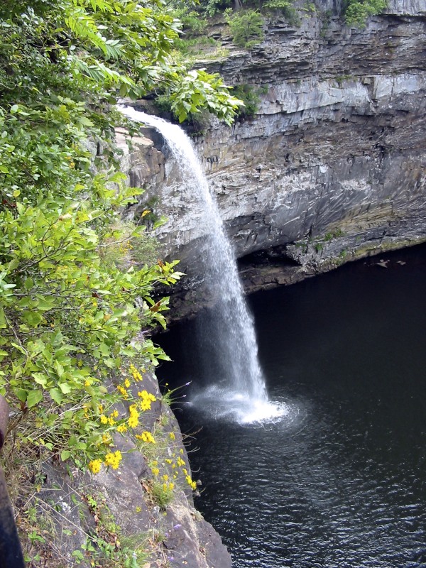 De Soto FallsWaterfallPhoto: Jsfouche, CC BY-SA 3.0 (via Wikimedia Commons)~50 min drive
Daily highs and lows, wind and the chance of precipitation at High Falls for the next 7 days, from the Open-Meteo model.
Questions about High Falls: conditions, access, timing. Answers say when something isn't known.
Town Creek Campground
Campground
Places © OpenStreetMap contributors, Places © Overture Maps Foundation
More in Albertville