Hand Launch
At a glance
Hand Launch is a boat launch in Silverwood Lake State Recreation Area, within the Mountaintop Ranger District of San Bernardino National Forest in California. The nearest town is Crestline, about 4 miles away, and the land is managed by State Park and Recreation. Spring and fall are the most comfortable times to visit. Typical averages from a nearby weather station in Hesperia show April highs around 75°F and October highs around 80°F, while July and August average highs near 97°F. The Cleghorn Trail starts just 0.1 mile away, and the Cleghorn Ridge Trail and Sawpit Canyon Trail are both within about a mile and a half. Climbers can head to the Lake Arrowhead Area, roughly 2.7 miles off.
- best months
- Oct–May
Where it is: Mountaintop Ranger District · San Bernardino National Forest
Near: San Bernardino
Best time to visit Hand Launch
Best months: October–May. Best months have typical highs of 55–85 °F, lows of 30 °F or warmer (32 °F where the station doesn't record snow), at most one snowy day and no more than 12 wet days.
Jan
60°
37°
Feb
62°
39°
Mar
69°
42°
Apr
75°
46°
May
82°
53°
Jun
92°
59°
Jul
97°
65°
Aug
97°
65°
Sep
91°
61°
Oct
80°
51°
Nov
67°
42°
Dec
59°
35°
Typical high / low (°F) and days with rain or snow, 1991–2020. Measured at Hesperia 2e, CA, 10.2 mi away at 3,055 ft. This station doesn't record snowfall. Source: NOAA NCEI U.S. Climate Normals 1991–2020.
Been here? Tell people how it was.
 Cleghorn TrailHikingPhoto: Moo.The.Cow, CC BY 2.0 (via Flickr)0.1 mi
 Cleghorn Ridge TrailHikingPhoto: strib1946, CC BY 3.0 (via Wikimedia Commons)1.1 mi
- Sawpit Canyon TrailHiking1.4 mi
 Lake Arrowhead AreaRock climbingPhoto: bdearth, CC BY 2.0 (via Flickr)2.7 mi
- Lake Gregory County Regional ParkLake fishing4.9 mi
- Temple RockRock climbing6.5 mi
- Cajon WashCanoeing6.9 mi
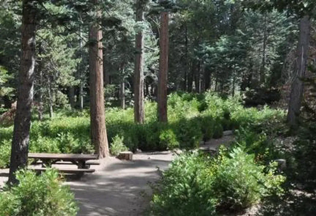 DogwoodCampingPhoto: Recreation.gov (RIDB) / public domain8.2 mi
 Santa Ana RiverCanoeingPhoto: Basar, CC BY-SA 3.0 (via Wikimedia Commons)~29 min drive
- Eastport Launch RampBoat launch~1h 13m drive
 Mojave RiverCanoeingPhoto: Eeekster, CC BY 3.0 (via Wikimedia Commons)~1h 13m drive
- Sun & Sail ClubBoat launch~1h 24m drive
 Rio HondoCanoeingPhoto: Cromagnom, CC BY-SA 3.0 (via Wikimedia Commons)~1h 18m drive
- Carol Morrison East Boat RampBoat launch~45 min drive
 Whitewater RiverCanoeingPhoto: Famartin, CC BY-SA 4.0 (via Wikimedia Commons)~1h 26m drive
 San Gabriel RiverCanoeingPhoto: Emarateyya, Muna Al Zaabi, CC BY-SA 3.0 (via Wikimedia Commons)~47 min drive
 West Fork San Gabriel RiverCanoeingPhoto: Eeekster, CC BY 3.0 (via Wikimedia Commons)~1h 1m drive
- Cajon WashCanoeing~12 min drive
Conditions and forecast
Caution todayAgency alerts are in effect for this areaUSFS · checked 18 min agoDaily highs and lows, wind and the chance of precipitation at Start for the next 7 days, from the Open-Meteo model.

Ask about this place
Questions about Hand Launch: conditions, access, timing. Answers say when something isn't known.
Map and trail data © OpenStreetMap contributors
