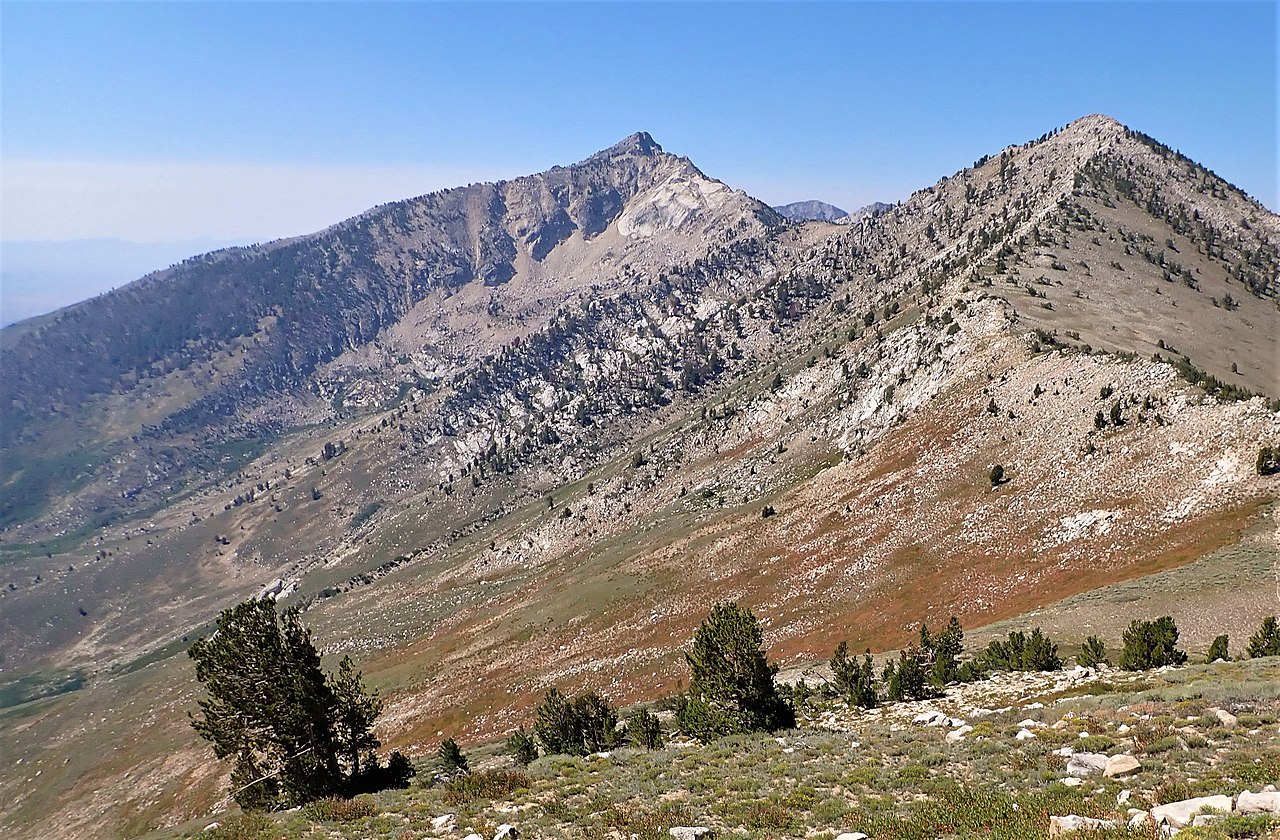
Grindstone Mountain
 Photo: Famartin, CC BY-SA 4.0 (via Wikimedia Commons)
At a glance
Grindstone Mountain is a summit in Elko County, Nevada, rising to about 7,381 feet. The nearest town is South Fork, about 7 miles away. Summer is the most comfortable time to visit. Typical averages from a nearby weather station at Lamoille Yost show July highs around 87°F with lows near 50°F, while winter highs there stay in the upper 30s. Several trails lie within about 10 miles. Hasting's Trail is about 5 miles away, Hastings Trail about 7 miles, and Tomera Ranch Trail and the Humboldt trail are each roughly 10 miles off.
- summit
- 7,381 ft
- best months
- May–Jun, Sep
Near: Elko
Best time to visit Grindstone Mountain
Best months: May–June and September. Best months have typical highs of 55–85 °F, lows of 30 °F or warmer (32 °F where the station doesn't record snow), at most one snowy day and no more than 12 wet days.
Jan
37°
15°
9 wet
Feb
41°
17°
8 wet
Mar
50°
24°
9 wet
Apr
56°
29°
10 wet
May
65°
35°
9 wet
Jun
76°
42°
5 wet
Jul
87°
50°
3 wet
Aug
86°
49°
3 wet
Sep
76°
40°
4 wet
Oct
62°
30°
5 wet
Nov
48°
22°
7 wet
Dec
38°
15°
8 wet
Typical high / low (°F) and days with rain or snow, 1991–2020. Measured at Lamoille Yost, NV, 20.1 mi away at 5,840 ft. The station sits about 1,500 ft lower than this place, so expect it a little cooler here. This station doesn't record snowfall. Source: NOAA NCEI U.S. Climate Normals 1991–2020.
Been here? Tell people how it was.
We don't know of a mapped trail or route to the summit of Grindstone Mountain. Plan the approach with local maps, a guidebook or a local guide, and check conditions before you go.
 Verdi PeakSummitPhoto: G. Thomas at English Wikipedia, Public domain (via Wikimedia Commons)~50 min drive
 Tipton PeakSummitPhoto: Matt Lavin, CC BY-SA 2.0 (via Wikimedia Commons)~50 min drive
 Humboldt PeakSummitPhoto: G. Thomas at English Wikipedia, Public domain (via Wikimedia Commons)~1h 15m drive
 Greys PeakSummitPhoto: G. Thomas at English Wikipedia, Public domain (via Wikimedia Commons)~1h 22m drive
- Ruby DomeSummit~40 min drive
Conditions and forecast
Daily highs and lows, wind and the chance of precipitation at the summit for the next 7 days, from the Open-Meteo model.
Questions about Grindstone Mountain
How tall is Grindstone Mountain?
7,381 ft (2,250 m).
Is there a trail to the top of Grindstone Mountain?
We don't know of a mapped trail or route to the summit. Plan the approach with local maps, a guidebook or a local guide.

Ask about this place
Questions about Grindstone Mountain: conditions, access, timing. Answers say when something isn't known.
