Cunningham Loop
 Photo: Outdoor Craziness, CC BY-SA 3.0 (via Wikimedia Commons)
At a glance
Cunningham Loop is a mountain biking route of about 7.4 miles in Arizona's Coronado National Forest, within the Safford Ranger District. The Forest Service manages the land. The ride climbs about 867 feet, from roughly 9,150 feet at the start to a high point near 9,400 feet. The steepest stretch comes at about 1.5 miles, with a grade of 26 percent. The route is a single loop, so the climb is part of the whole trip. The loop sits close to the Grant Hill Loop Trail #322 and the Grant Hill Loop C mountain biking route, both about 0.2 miles away. Upper Hospital Flat Group Site and Hospital Flat campground are about half a mile off.
- distance
- 7.4 mi
- climb
- 867 ft
- time
- About 3.5 hours
Where it is: Safford Ranger District · Coronado National Forest
Near: Thatcher
Been here? Tell people how it was.
- Grant Hill Loop Trail #322Hiking0.2 mi
- Grant Hill Loop CMountain bikingPhoto: Outdoor Craziness, CC BY-SA 3.0 (via Wikimedia Commons)0.2 mi
- Grant Hill Loop AHiking0.2 mi
- Grant Hill Loop DHiking0.4 mi
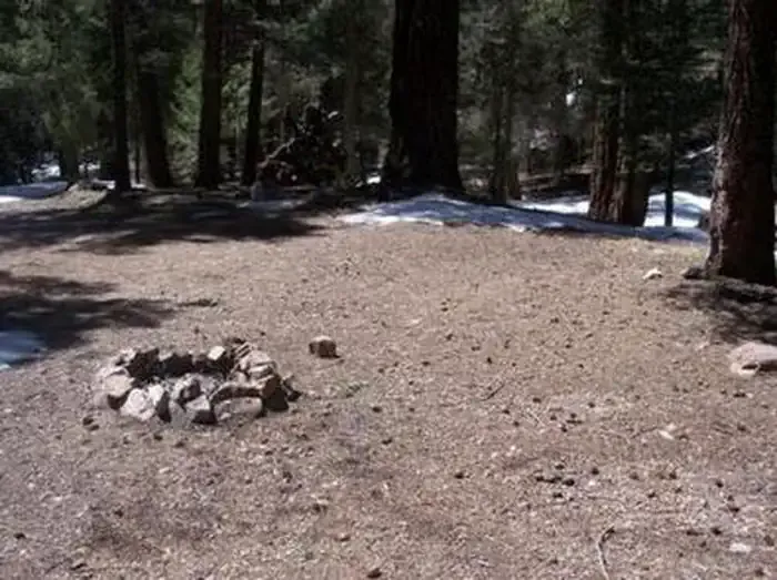 Upper Hospital Flat Group SiteCampingPhoto: Recreation.gov (RIDB) / public domain0.5 mi
- Hospital FlatCamping0.5 mi
- Treasure Park - NorthCamping0.8 mi
- Treasure Park - EastCamping0.8 mi
- Grant Hill Loop CMountain bikingPhoto: Outdoor Craziness, CC BY-SA 3.0 (via Wikimedia Commons)~2 min drive
 Big CreekMountain bikingPhoto: Kjunewright, CC BY-SA 4.0 (via Wikimedia Commons)~2 min drive
- Grant Hill Loop AMountain bikingPhoto: Kjunewright, CC BY-SA 4.0 (via Wikimedia Commons)~2 min drive
- Grant Hill LoopMountain bikingPhoto: Kjunewright, CC BY-SA 4.0 (via Wikimedia Commons)~2 min drive
- Deadman HighlineMountain bikingPhoto: Outdoor Craziness, CC BY-SA 3.0 (via Wikimedia Commons)~3 min drive
- Grant CreekMountain bikingPhoto: Outdoor Craziness, CC BY-SA 3.0 (via Wikimedia Commons)~4 min drive
- Ash RidgeMountain bikingPhoto: Outdoor Craziness, CC BY-SA 3.0 (via Wikimedia Commons)~6 min drive
- Frye CanyonMountain bikingPhoto: Outdoor Craziness, CC BY-SA 3.0 (via Wikimedia Commons)~8 min drive
 DeadmanMountain bikingPhoto: Don Lancaster and Dr. James Neely, CC BY-SA 3.0 (via Wikimedia Commons)~8 min drive
- Grant Hill Loop DMountain biking~2 min drive
Also worth it near here
- Upper Hospital Flat Group SiteCamping~2 min drive
 Mount GrahamSummitPhoto: No machine-readable author provided. GreatInca assumed (based on copyright claims)., CC BY-SA 3.0 (via Wikimedia Commons)~3 min drive
 Heliograph Trail #328AHikingPhoto: squeaks2569, CC BY-SA 2.0 (via Flickr)~5 min drive
- Ash Creek FallsWaterfall~6 min drive
Conditions and forecast
Daily highs and lows, wind and the chance of precipitation at Start for the next 7 days, from the Open-Meteo model.
Ask about this place
Questions about Cunningham Loop: conditions, access, timing. Answers say when something isn't known.
Map and trail data © OpenStreetMap contributors
