Grant Hill Loop A
- 2.2 mi
- round trip
- 336 ft
- climb
- 9,449 ft
- high point
- Out and back
- route
Is Grant Hill Loop A open right now?
Alert in the area
The Forest Service lists 3 alerts for Coronado National Forest.
Border Barrier Construction Closure
Agency alert covering Coronado National Forest · Order 03-05-00-26-011 · USFS · Coronado National Forest
No Fire Restrictions
Agency alert covering Coronado National Forest · USFS · Coronado National Forest
Barfoot Snake Closure Order 03-05-01-24-004
Agency alert covering Coronado National Forest · USFS · Coronado National Forest
As of · Source: USFS · Coronado National Forest. Agencies don't list every closure — check before you go.
Grant Hill Loop A is an easy, out-and-back hike of about 2.2 miles in the Safford Ranger District of Coronado National Forest in Arizona. The trail rises from a low point of about 9,000 feet to a high of about 9,450 feet, with a total elevation gain of 336 feet. The Forest Service manages the land, and the trailhead is named Grant Hill Loop Trailhead, with parking labeled GRANT HILL LOOP. The route is natural-surfaced and allows bikes, so it works for hikers and mountain bikers alike. The trail is open from September 1 through May 30, and the surrounding area has several other routes and campsites within a short distance. Grant Hill Loop Trail #322 lies about 0.1 mile away, and Cunningham Loop is about 0.2 mile off. For an overnight stay, Hospital Flat and Upper Hospital Flat Group Site are both about 0.3 mile from the trail.
- Grant Hill Loop Trail #322Hiking0.1 mi
 Grant Hill Loop CMountain bikingPhoto: Outdoor Craziness, CC BY-SA 3.0 (via Wikimedia Commons)0.2 mi
- Cunningham LoopHiking0.2 mi
- Grant Hill Loop DHiking0.3 mi
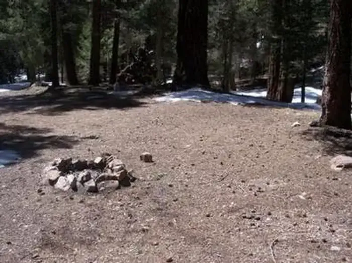 Upper Hospital Flat Group SiteCampingPhoto: Recreation.gov (RIDB) / public domain0.3 mi
- Hospital FlatCamping0.3 mi
- Treasure Park - NorthCamping0.6 mi
- Treasure Park - EastCamping0.6 mi
Source: Roamze catalog (indexable pages within 10 miles, PostGIS distance)
 Heliograph Trail #328AHiking · ~3 min drivePhoto: squeaks2569, CC BY-SA 2.0 (via Flickr)
 Shake Trail #309Hiking · ~7 min drivePhoto: squeaks2569, CC BY-SA 2.0 (via Flickr)
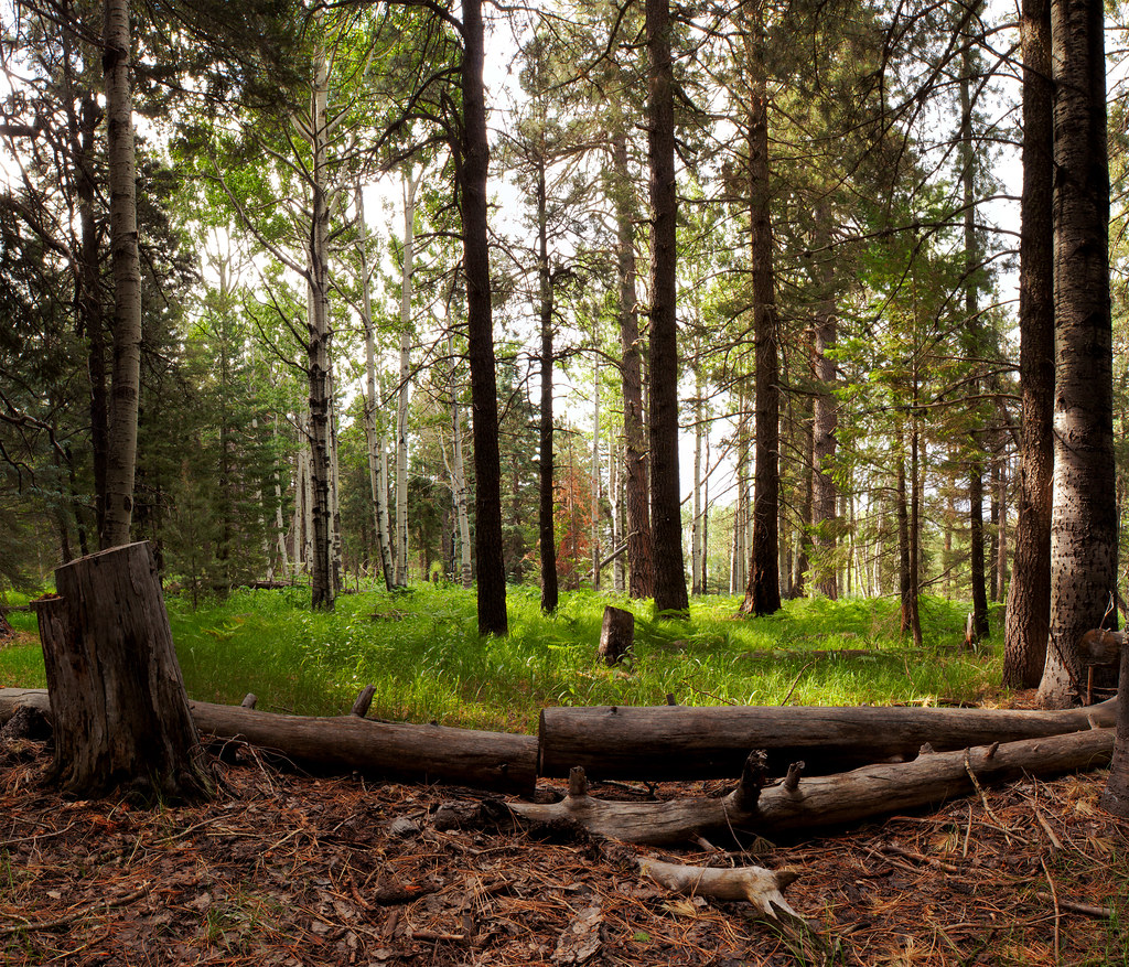 Jesus Goudy Ridge Trail #298Hiking · ~9 min drivePhoto: squeaks2569, CC BY-SA 2.0 (via Flickr)
 Round the Mountain Trail #302Hiking · ~6 min drivePhoto: em_burk, CC BY-SA 2.0 (via Flickr)
 Ash Creek DetourHiking · ~7 min drivePhoto: em_burk, CC BY-SA 2.0 (via Flickr)
 Blair CanyonHiking · ~8 min drivePhoto: squeaks2569, CC BY-SA 2.0 (via Flickr)
- Grant Goudy Ridge Trail #310Hiking · ~5 min drive
- Grant CreekHiking · ~3 min drive
- Turkey FlatHiking · ~8 min drivePhoto: squeaks2569, CC BY-SA 2.0 (via Flickr)
- Arcadia Trail #328Hiking · ~2 min drivePhoto: squeaks2569, CC BY-SA 2.0 (via Flickr)
Also worth it near here
- Grant Hill Loop CMountain biking · Next doorPhoto: Outdoor Craziness, CC BY-SA 3.0 (via Wikimedia Commons)
- Upper Hospital Flat Group SiteCamping · Next door
 Mount GrahamSummit · ~4 min drivePhoto: No machine-readable author provided. GreatInca assumed (based on copyright claims)., CC BY-SA 3.0 (via Wikimedia Commons)
- Ash Creek FallsWaterfall · ~7 min drive
Route details
- Distance
- 2.2 mi round trip
- Climbing
- About 336 ft
- Starts at
- Grant Hill Loop Trailhead (about 9,116 ft)
- Summit
- 9,470 ft
- Difficulty
- Easy
- Time
- About 1 hour
Getting there
Park at GRANT HILL LOOP.
Questions about this route
How long is the Grant Hill Loop A on Grant Hill?
About 2.2 mi round trip from Grant Hill Loop Trailhead (about 9,116 ft).
How much elevation gain is on the Grant Hill Loop A?
About 336 ft of climbing round trip.
How hard is the Grant Hill Loop A?
It is rated easy.
Where does the Grant Hill Loop A start?
Grant Hill Loop Trailhead (about 9,116 ft).
How long does the Grant Hill Loop A take?
About 1 hour round trip.
Conditions and forecast on Grant Hill
Daily highs and lows, wind and the chance of precipitation at the summit and route start for the next 7 days, from the Open-Meteo model.
