Deadman
 Photo: Don Lancaster and Dr. James Neely, CC BY-SA 3.0 (via Wikimedia Commons)
- 3.2 mi
- distance
- 1,743 ft
- climb
Is Deadman open right now?
Alert in the area
The Forest Service lists 3 alerts for Coronado National Forest.
Border Barrier Construction Closure
Agency alert covering Coronado National Forest · Order 03-05-00-26-011 · USFS · Coronado National Forest
No Fire Restrictions
Agency alert covering Coronado National Forest · USFS · Coronado National Forest
Barfoot Snake Closure Order 03-05-01-24-004
Agency alert covering Coronado National Forest · USFS · Coronado National Forest
As of · Source: USFS · Coronado National Forest. Agencies don't list every closure — check before you go.
Deadman is a mountain biking route in Arizona's Coronado National Forest, managed by the Forest Service. The ride covers about 3.2 miles, rising from roughly 4,590 feet to about 6,260 feet, with a total elevation gain of 1,743 feet. The steepest stretch comes at about the first mile, where the grade reaches 30 percent. The climb is a short, steep one. The route starts near 4,590 feet and peaks around 6,260 feet, with the most dramatic grade in the first mile. The total descent is about 751 feet, so the route is not a straightforward out-and-back. The Deadman Trail #70 hike lies just 0.1 mile away, and Frye Canyon, another mountain biking area, is about 2 miles off. For an overnight stay, Noon Creek campground is about 5.5 miles away, and Shannon campground is about 6.6 miles away.
- Deadman Trail #70Hiking0.1 mi
 Frye CanyonMountain bikingPhoto: Outdoor Craziness, CC BY-SA 3.0 (via Wikimedia Commons)2 mi
- Ash RidgeHiking2.7 mi
- Rincon Spring Trail #331Hiking3.2 mi
- Noon CreekCamping5.5 mi
- ShannonCamping6.6 mi
- CunninghamCamping6.6 mi
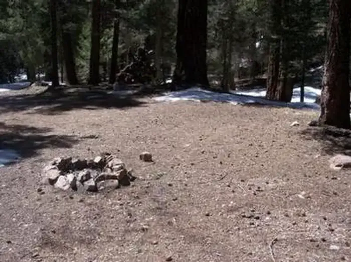 Upper Hospital Flat Group SiteCampingPhoto: Recreation.gov (RIDB) / public domain6.7 mi
Source: Roamze catalog (indexable pages within 10 miles, PostGIS distance)
- Frye CanyonMountain biking · ~2 min drivePhoto: Outdoor Craziness, CC BY-SA 3.0 (via Wikimedia Commons)
- Ash RidgeMountain biking · ~4 min drivePhoto: Outdoor Craziness, CC BY-SA 3.0 (via Wikimedia Commons)
- Deadman HighlineMountain biking · ~6 min drivePhoto: Outdoor Craziness, CC BY-SA 3.0 (via Wikimedia Commons)
- Cunningham LoopMountain biking · ~8 min drivePhoto: Outdoor Craziness, CC BY-SA 3.0 (via Wikimedia Commons)
 Big CreekMountain biking · ~8 min drivePhoto: Kjunewright, CC BY-SA 4.0 (via Wikimedia Commons)
- Grant Hill Loop CMountain biking · ~9 min drivePhoto: Outdoor Craziness, CC BY-SA 3.0 (via Wikimedia Commons)
- Grant Hill Loop AMountain biking · ~10 min drivePhoto: Kjunewright, CC BY-SA 4.0 (via Wikimedia Commons)
- Grant Hill LoopMountain biking · ~10 min drivePhoto: Kjunewright, CC BY-SA 4.0 (via Wikimedia Commons)
- Grant CreekMountain biking · ~12 min drivePhoto: Outdoor Craziness, CC BY-SA 3.0 (via Wikimedia Commons)
- Round the MountainMountain biking · ~4 min drive
Also worth it near here
 Mount GrahamSummit · ~6 min drivePhoto: No machine-readable author provided. GreatInca assumed (based on copyright claims)., CC BY-SA 3.0 (via Wikimedia Commons)
- Ash Creek FallsWaterfall · ~7 min drive
 Ash Creek DetourHiking · ~7 min drivePhoto: em_burk, CC BY-SA 2.0 (via Flickr)
- Lebanon Reservoir Number TwoLake fishing · ~8 min drive
Map and trail data © OpenStreetMap contributors
