Ingraham Flats
Campground
0.6 mi from the trail
 Photo: Buidhe, CC BY-SA 4.0 (via Wikimedia Commons)
Gibraltar Rock is a summit of about 12,681 feet in Pierce County, Washington, inside Mount Rainier National Park and the Mount Rainier Wilderness. The National Park Service manages the land, and the nearest town is Ashford, about 14 miles away. The closest neighbor is the Mount Rainier climbing area, under a mile away. McClure Rock and Pebble Creek are both hikes within about 3 miles. Cougar Rock Campground, about 6 miles off, offers a place to stay.
Where it is: Mount Rainier Wilderness · Mount Rainier National Park
Near: Enumclaw
Been here? Tell people how it was.
We don't know of a mapped trail or route to the summit of Gibraltar Rock. Plan the approach with local maps, a guidebook or a local guide, and check conditions before you go.

 Mount RainierRock climbingPhoto: shinsain, CC BY-SA 2.0 (via Flickr)0.9 mi
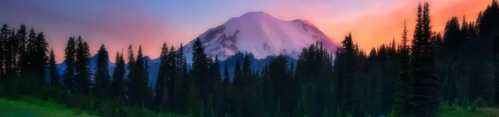 Cougar Rock CampgroundCampingPhoto: Recreation.gov (RIDB) / public domain5.9 mi
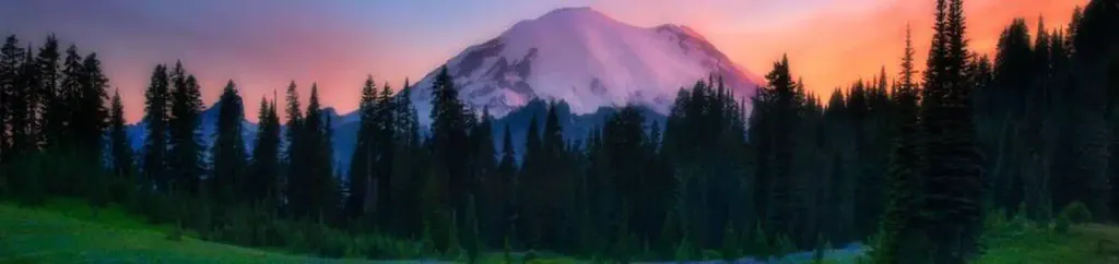 Cougar Rock Group CampgroundCampingPhoto: Recreation.gov (RIDB) / public domain5.9 mi
 Nisqually RiverCanoeingPhoto: Ian Poellet, CC BY-SA 3.0 (via Wikimedia Commons)7 mi
 Little Tahoma PeakSummitPhoto: Thomas Loarie II (talk · contribs), CC BY-SA 3.0 (via Wikimedia Commons)~3 min drive
 Steamboat ProwSummitPhoto: Walter Siegmund (talk), CC BY 2.5 (via Wikimedia Commons)~3 min drive
 Lane PeakSummitPhoto: Ron Clausen, CC BY-SA 4.0 (via Wikimedia Commons)~10 min drive
 Pinnacle PeakSummitPhoto: SolYoun, CC BY 2.0 (via Wikimedia Commons)~10 min drive
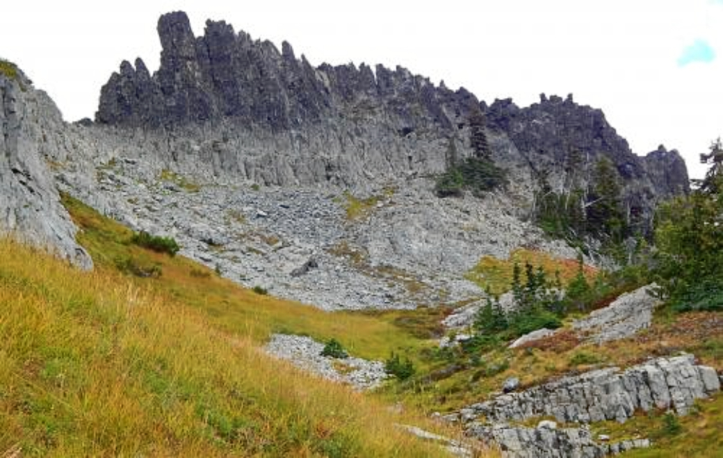 The CastleSummitPhoto: Ron Clausen, CC BY-SA 4.0 (via Wikimedia Commons)~11 min drive
 Plummer PeakSummitPhoto: Peter Stevens (Nordique), CC BY 2.0 (via Wikimedia Commons)~11 min drive
 Eagle PeakSummitPhoto: Ron Clausen, CC BY-SA 4.0 (via Wikimedia Commons)~11 min drive
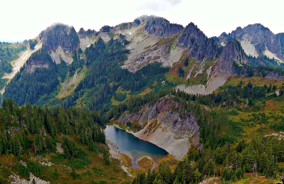 Wahpenayo PeakSummitPhoto: Ron Clausen, CC BY-SA 4.0 (via Wikimedia Commons)~12 min drive
 Unicorn PeakSummitPhoto: Ron Clausen, CC BY-SA 4.0 (via Wikimedia Commons)~12 min drive
 Barrier PeakSummitPhoto: Steve Redman (MORA), Public domain (via Wikimedia Commons)~14 min drive
Also worth it near here
Mount RainierRock climbingPhoto: shinsain, CC BY-SA 2.0 (via Flickr)~1 min drive Camp MuirCampingPhoto: Mitch from Costa Mesa, CA, USA, CC BY-SA 2.0 (via Wikimedia Commons)~2 min drive
 Comet FallsWaterfallPhoto: J Brew, CC BY-SA 2.0 (via Wikimedia Commons)~7 min drive
 Mildred PointHikingPhoto: brewbooks — CC BY-SA 2.0 (via Flickr)~7 min drive
Daily highs and lows, wind and the chance of precipitation at the summit for the next 7 days, from the Open-Meteo model.
12,681 ft (3,865 m).
We don't know of a mapped trail or route to the summit. Plan the approach with local maps, a guidebook or a local guide.
Questions about Gibraltar Rock: conditions, access, timing. Answers say when something isn't known.
Ingraham Flats
Campground
 If it rainsSteven Pavlov, CC BY-SA 4.0 · Wikimedia Commons
Places © OpenStreetMap contributors · Photos: Steven Pavlov, CC BY-SA 4.0 (commons)
More in Packwood