Four Mile Creek Campground
Campground
4.6 mi from the trail
Mount Sherman is a hard hike in Colorado, set on Bureau of Land Management land in the Rocky Mountain District. The route is an out-and-back that rises about 2,200 feet from a low point of 11,925 feet to a high of 14,043 feet, and it covers roughly 4.3 miles. The Iowa Gulch Trailhead is the trailhead for this route. Two other approaches are close by: Mount Sherman from Iowa Gulch, about 0.8 miles away, and Mount Sherman - Southwest Ridge from Fourmile Creek, about 1.4 miles away. For a longer stay, Fourmile Campground is about 4.7 miles away and Finback Crags, a climbing area, is about 1.9 miles away.
Where it is: Rocky Mountain District
Near: Leadville
Been here? Tell people how it was.
 Mount Sherman from Iowa GulchHikingPhoto: foto3116, CC BY 2.0 (via Flickr)0.8 mi
 Mount Sherman - Southwest Ridge from Fourmile CreekHikingPhoto: jl_2, CC BY-SA 2.0 (via Flickr)1.4 mi
 East Fork Arkansas RiverCanoeingPhoto: Jeffrey Beall, CC BY 3.0 (via Wikimedia Commons)6.7 mi
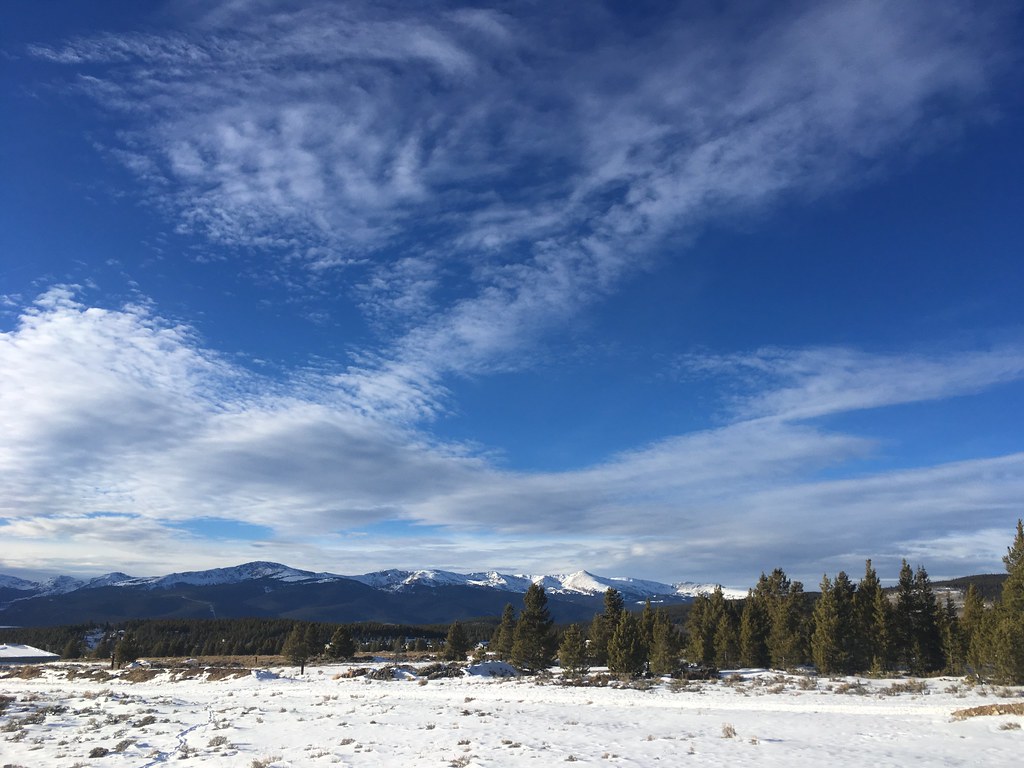 Dyer MountainHikingPhoto: christinejwarner, CC BY 2.0 (via Flickr)Next doorMount Sherman from Iowa GulchHikingPhoto: foto3116, CC BY 2.0 (via Flickr)~1 min drive
 Mount EvansHikingPhoto: QKC, CC BY-SA 3.0 (via Wikimedia Commons)~9 min drive
 Mt Lincoln TrailHikingPhoto: jl_2, CC BY-SA 2.0 (via Flickr)~15 min drive
 Limber GroveHikingPhoto: Ben Mason, CC BY 2.0 (via Flickr)~8 min drive
 Pennsylvania Mountain TrailHikingPhoto: Thomas Elliott from Alma, USA, CC0 (via Wikimedia Commons)~8 min driveWest Dyer MountainHikingPhoto: christinejwarner, CC BY 2.0 (via Flickr)~10 min drive
 BodfishHikingPhoto: markbyzewski, CC BY 2.0 (via Flickr)~16 min drive
 Mount BrossHikingPhoto: jl_2, CC BY-SA 2.0 (via Flickr)~13 min driveLoveland MountainHikingPhoto: QKC, CC BY-SA 3.0 (via Wikimedia Commons)~9 min drive
Daily highs and lows, wind and the chance of precipitation at the summit and route start for the next 7 days, from the Open-Meteo model.
Questions about Mount Sherman: conditions, access, timing. Answers say when something isn't known.
Four Mile Creek Campground
Campground
Casa Blanca Restaurant
Restaurant
 If it rainsPlazak, CC BY 3.0 · Wikimedia Commons
Matchless Mine
Attraction
Places © OpenStreetMap contributors · Photos: Plazak, CC BY 3.0 (commons)
More in LeadvilleAbout 4.3 mi round trip from Iowa Gulch Trailhead (about 12,776 ft).
About 2,200 ft of climbing round trip.
It is rated hard.
Iowa Gulch Trailhead (about 12,776 ft).
3: Mount Sherman, Mount Sherman - Southwest Ridge from Fourmile Creek and Mount Sherman from Iowa Gulch.
© openrouteservice.org by HeiGIT | Map data © OpenStreetMap contributors
