Firehole Falls
 Photo: WikiBunny11, CC BY-SA 3.0 (via Wikimedia Commons)
At a glance
Firehole Falls is a waterfall in Yellowstone National Park, in Teton County, Wyoming, sitting at about 6,920 feet. The National Park Service manages the land, and the nearest town is West Yellowstone, Montana, about 12 miles away. Summer is the most comfortable time to visit. Typical July averages from a nearby weather station run to a high of about 80°F and a low near 39°F, while winter highs stay in the 20s. Madison Junction and the Firehole Canyon Swimming Area are both about a mile away, and the Purple Mountain Trail and Harlequin Lake Trail are each within about a mile and a half.
- elevation
- 6,920 ft
- managed by
- National Park Service
- best months
- Jun–Aug
Where it is: Yellowstone National Park
Near: West Yellowstone · 12.1 mi
Best time to visit Firehole Falls
Best months: June–August. Best months have typical highs of 55–85 °F, lows of 30 °F or warmer (32 °F where the station doesn't record snow), at most one snowy day and no more than 12 wet days.
Jan
27°
0°
Feb
31°
1°
Mar
40°
9°
Apr
48°
21°
May
59°
29°
Jun
68°
34°
Jul
80°
39°
Aug
78°
36°
Sep
68°
30°
Oct
51°
21°
Nov
36°
11°
Dec
26°
3°
Typical high / low (°F) and days with rain or snow, 1991–2020. Measured at W Yellowstone Gateway, MT, 11.3 mi away at 6,679 ft. This station doesn't record snowfall. Source: NOAA NCEI U.S. Climate Normals 1991–2020.
Been here? Tell people how it was.
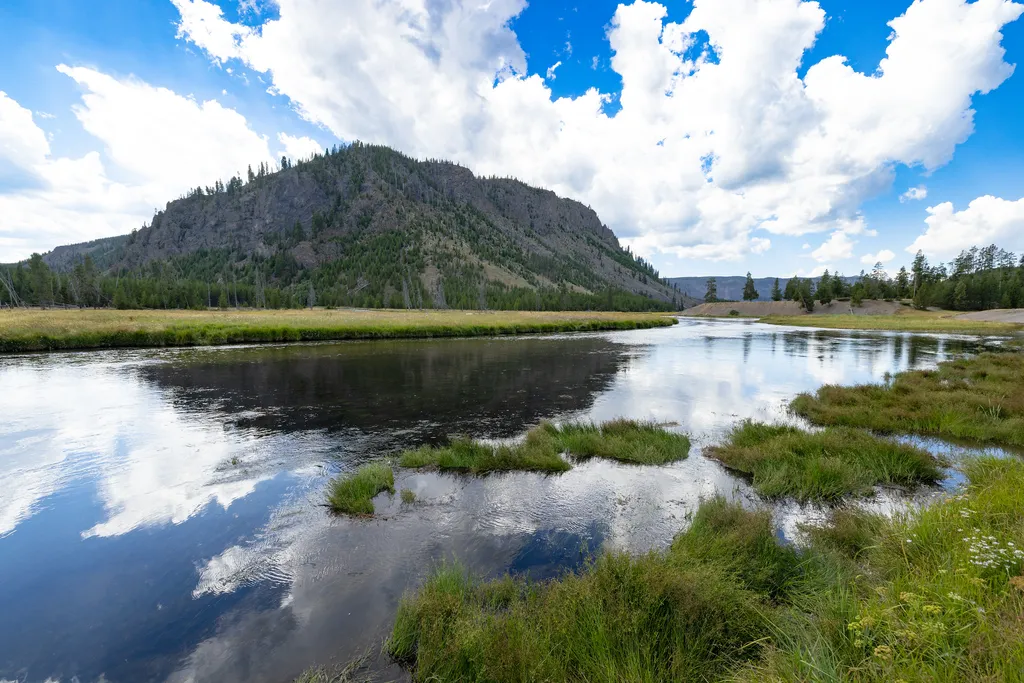 Madison JunctionHikingPhoto: NPS / public domain0.9 mi
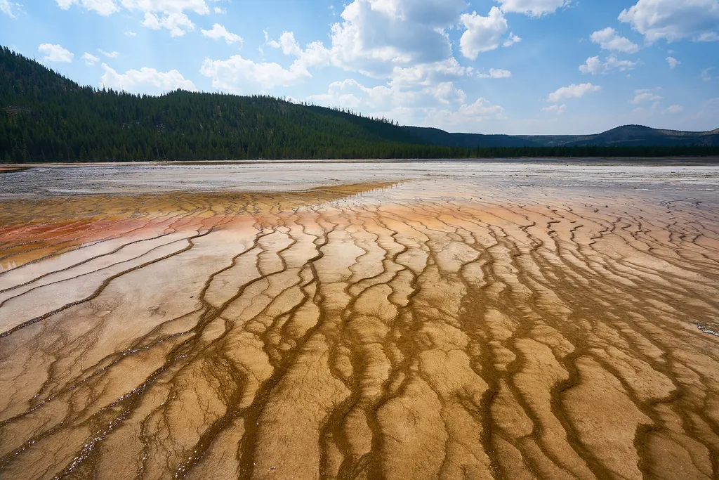 Firehole Canyon Swimming AreaHikingPhoto: Pedro Szekely from Los Angeles, USA — Wikimedia Commons (CC BY-SA 2.0)0.9 mi
- Purple Mountain TrailHiking1.2 mi
- Harlequin Lake TrailHiking1.3 mi
 Mount Haynes Fishing PlatformHikingPhoto: NPS / public domain3.1 mi
- Sentinel Meadows TrailHiking4.6 mi
 Imperial Meadows TrailHikingPhoto: R. Sieben, CC BY 3.0 (via Wikimedia Commons)4.8 mi
 Fairy Falls TrailHikingPhoto: NASA's Earth Observatory, CC BY 2.0 (via Wikimedia Commons)5.8 mi
 Cascades of the FireholeWaterfallPhoto: James St. John, CC BY 2.0 (via Wikimedia Commons)~2 min drive
 Gibbon FallsWaterfallPhoto: Daniel Mayer, CC BY-SA 3.0 (via Wikimedia Commons)~8 min drive
 Mystic FallsWaterfallPhoto: Rklawton, CC BY-SA 3.0 (via Wikimedia Commons)~17 min drive
 Virginia CascadeWaterfallPhoto: Rose Heil, Public domain (via Wikimedia Commons)~21 min drive
 Kepler CascadesWaterfallPhoto: Miguel Hermoso Cuesta, CC BY-SA 4.0 (via Wikimedia Commons)~22 min drive
 Upper Falls of the Yellowstone RiverWaterfallPhoto: Tony Hisgett from Birmingham, UK, CC BY 2.0 (via Wikimedia Commons)~32 min drive
 Lower Falls of the Yellowstone RiverWaterfallPhoto: Miguel Hermoso Cuesta, CC BY-SA 4.0 (via Wikimedia Commons)~33 min drive
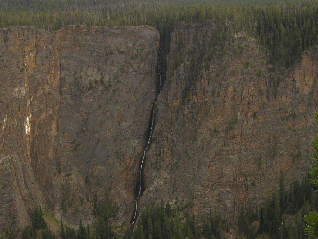 Silver Cord CascadeWaterfallPhoto: Alex1961, CC BY-SA 2.0 (via Wikimedia Commons)~37 min drive
 Rustic FallsWaterfallPhoto: James St. John, CC BY 2.0 (via Wikimedia Commons)~38 min drive
 Osprey FallsWaterfallPhoto: Unknown authorUnknown author, Public domain (via Wikimedia Commons)~38 min drive
Also worth it near here
 National Park MountainSummitPhoto: Acroterion, CC BY-SA 4.0 (via Wikimedia Commons)Next door
- Madison JunctionHiking~2 min drive
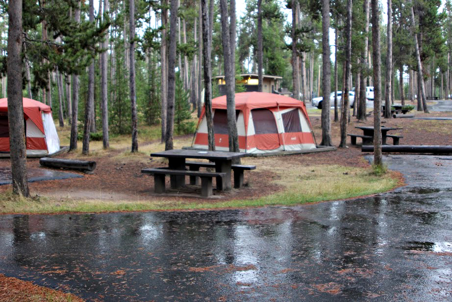 Madison CampgroundCampingPhoto: Yellowstone National Park from Yellowstone NP, USA, Public domain (via Wikimedia Commons)~2 min drive
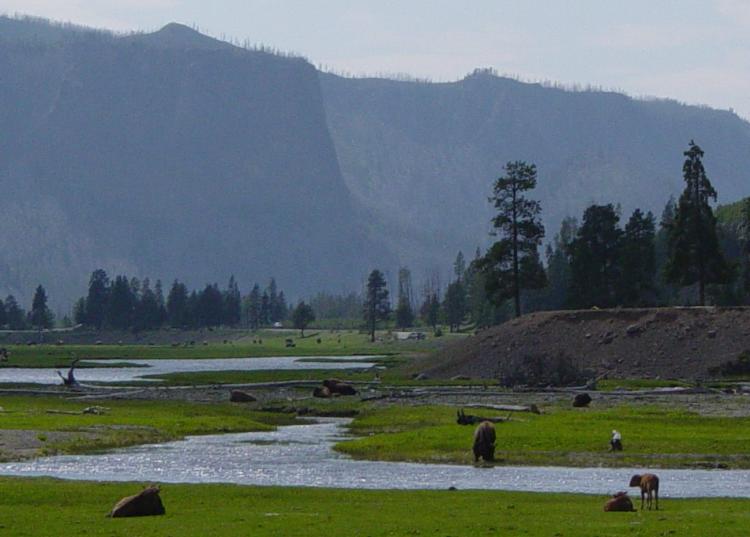 Gibbon RiverCanoeingPhoto: Daniel Mayer, CC BY-SA 3.0 (via Wikimedia Commons)~18 min drive
Conditions and forecast
Daily highs and lows, wind and the chance of precipitation at Firehole Falls for the next 7 days, from the Open-Meteo model.
Ask about this place
Questions about Firehole Falls: conditions, access, timing. Answers say when something isn't known.
