North Canyon Campground
Campground
< 0.1 mi from the trail
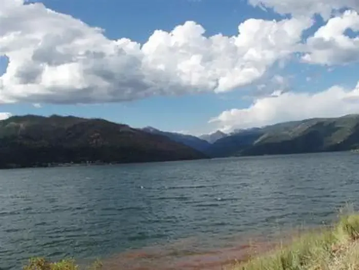
 Photo: Ken Lund from Reno, Nevada, USA, CC BY-SA 2.0 (via Wikimedia Commons)
East Creek is a cross-country skiing route in the Columbine Ranger District of Colorado's San Juan National Forest, managed by the Forest Service. The trail is short, about 1.3 miles, and the climb is gentle, with a total gain of 132 feet from a starting point of about 7,750 feet to a high of about 7,888 feet. The steepest stretch comes at about half a mile in, with a grade of about 7 percent. Winter is the natural season for this route. Typical averages from the nearby Vallecito Reservoir weather station show January highs around 37°F and lows near 9°F, while July highs reach about 80°F. That station sits a few hundred feet lower than the trail, so temperatures on the route run slightly cooler. North Canyon and North Canyon Campground are both about 0.1 mile away, and Graham Creek Campground is about 0.3 mile off. Vallecito Reservoir, a fishing spot, is about 0.7 mile away.
Where it is: Columbine Ranger District · San Juan National Forest
Near: Durango
Blocked today
Avalanche danger is considerable or higher; agency alerts are in effect for this area; weather is marginal · USFS, Avalanche.org, SNOTEL +1 · checked 2 h ago
No week is usually ideal for skiing here. Mid-November to late February comes closest.
Typical weather: NOAA 1991–2020 normals at Vallecito Reservoir, CO, 3 mi away. Not a forecast.
Typical weather by monthNo month here meets our mild-weather rule. Best months are the ones mostly made of the best weeks for skiing: typical temperatures in its comfortable range, few snowy days and not usually wet, judged with the same limits as our good-day forecasts.
Jan
37°
9°
Feb
42°
12°
Mar
48°
21°
Apr
55°
29°
May
64°
37°
Jun
76°
44°
Jul
80°
53°
Aug
78°
51°
Sep
72°
45°
Oct
60°
38°
Nov
47°
25°
Dec
38°
17°
Typical high / low (°F) and days with rain or snow, 1991–2020. Measured at Vallecito Reservoir, CO, 2.6 mi away at 7,673 ft. This station doesn't record snowfall. Source: NOAA NCEI U.S. Climate Normals 1991–2020.
Been here? Tell people how it was.
 North CanyonHikingPhoto: cogdogblog, CC BY 2.0 (via Flickr)0.1 mi
 North Canyon CampgroundCampingPhoto: Recreation.gov (RIDB) / public domain0.1 mi
 Graham Creek CampgroundCampingPhoto: Recreation.gov (RIDB) / public domain0.3 miNorth BeachCross-country skiingPhoto: Ken Lund from Reno, Nevada, USA, CC BY-SA 2.0 (via Wikimedia Commons)0.3 mi
 Aspen LoopCross-country skiingPhoto: Doss Imaging, CC BY 3.0 (via Wikimedia Commons)~38 min driveBench LoopCross-country skiingPhoto: Doss Imaging, CC BY 3.0 (via Wikimedia Commons)~38 min driveBoyce Lake LoopCross-country skiingPhoto: Doss Imaging, CC BY 3.0 (via Wikimedia Commons)~39 min drive
 Hesperus Ski AreaDownhill skiingPhoto: Jeffrey Beall, CC BY 4.0 (via Wikimedia Commons)~50 min driveNorth BeachCross-country skiingPhoto: Ken Lund from Reno, Nevada, USA, CC BY-SA 2.0 (via Wikimedia Commons)Next doorBeginner LoopCross-country skiingPhoto: Doss Imaging, CC BY 3.0 (via Wikimedia Commons)~38 min driveFruit LoopCross-country skiingPhoto: Doss Imaging, CC BY 3.0 (via Wikimedia Commons)~38 min driveNorth LoopCross-country skiingPhoto: Doss Imaging, CC BY 3.0 (via Wikimedia Commons)~39 min drive
 Silverton MountainDownhill skiingPhoto: Zach Dischner, CC BY 2.0 (via Wikimedia Commons)~58 min driveCampgrounds TrailCross-country skiingPhoto: Ken Lund from Reno, Nevada, USA, CC BY-SA 2.0 (via Wikimedia Commons)Next door
Daily highs and lows, wind and the chance of precipitation at Start for the next 7 days, from the Open-Meteo model.
Questions about East Creek: conditions, access, timing. Answers say when something isn't known.
North Canyon Campground
Campground
 If it rainsJeffrey Beall, CC BY 4.0 · Wikimedia Commons
Places © OpenStreetMap contributors, Places © Overture Maps Foundation · Photos: Jeffrey Beall, CC BY 4.0 (commons)
More in DurangoNot on Roamze yet. Their page has how to reach them.
Map and trail data © OpenStreetMap contributors
