Dragons Mouth
At a glance
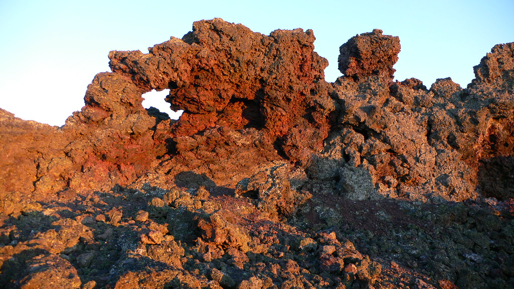
Dragons Mouth is a natural arch in Lava Beds National Monument in California, managed by the National Park Service. It sits at about 4,500 feet in the Doublehead Ranger District of Modoc National Forest, roughly 14 miles from the town of Newell. The most comfortable months for a visit are typically June through September, when typical averages from a nearby weather station run from highs around 76°F in June to about 86°F in July and August, with only a few wet days a month. Winter is cold and snowy, with January highs near 43°F and about six snow days. Several trails start close by. The Thomas-Wright Battlefield Trail Start is under a mile away, and the Whitney Butte Trail and Gold Digger Pass Trail are each within about 1.6 miles. The Schonchin Lookout Trail is about 2.5 miles off.
- elevation
- 4,497 ft
- managed by
- National Park Service
- best months
- May–Jun, Sep–Oct
Where it is: Doublehead Ranger District · Lava Beds National Monument
Near: Falcon Heights
Best time to visit Dragons Mouth
Best months: May–June and September–October. Best months have typical highs of 55–85 °F, lows of 30 °F or warmer (32 °F where the station doesn't record snow), at most one snowy day and no more than 12 wet days.
Jan
43°
23°
10 wet · 6 snow
Feb
46°
25°
9 wet · 5 snow
Mar
52°
28°
11 wet · 6 snow
Apr
57°
31°
10 wet · 4 snow
May
66°
38°
8 wet · 1 snow
Jun
76°
44°
6 wet
Jul
86°
52°
3 wet
Aug
86°
51°
2 wet
Sep
78°
45°
3 wet
Oct
66°
36°
5 wet · 1 snow
Nov
50°
27°
9 wet · 3 snow
Dec
41°
22°
9 wet · 5 snow
Typical high / low (°F) and days with rain or snow, 1991–2020. Measured at Lava Beds Nat Mon, CA, 5.2 mi away at 4,770 ft. Source: NOAA NCEI U.S. Climate Normals 1991–2020.
Been here? Tell people how it was.
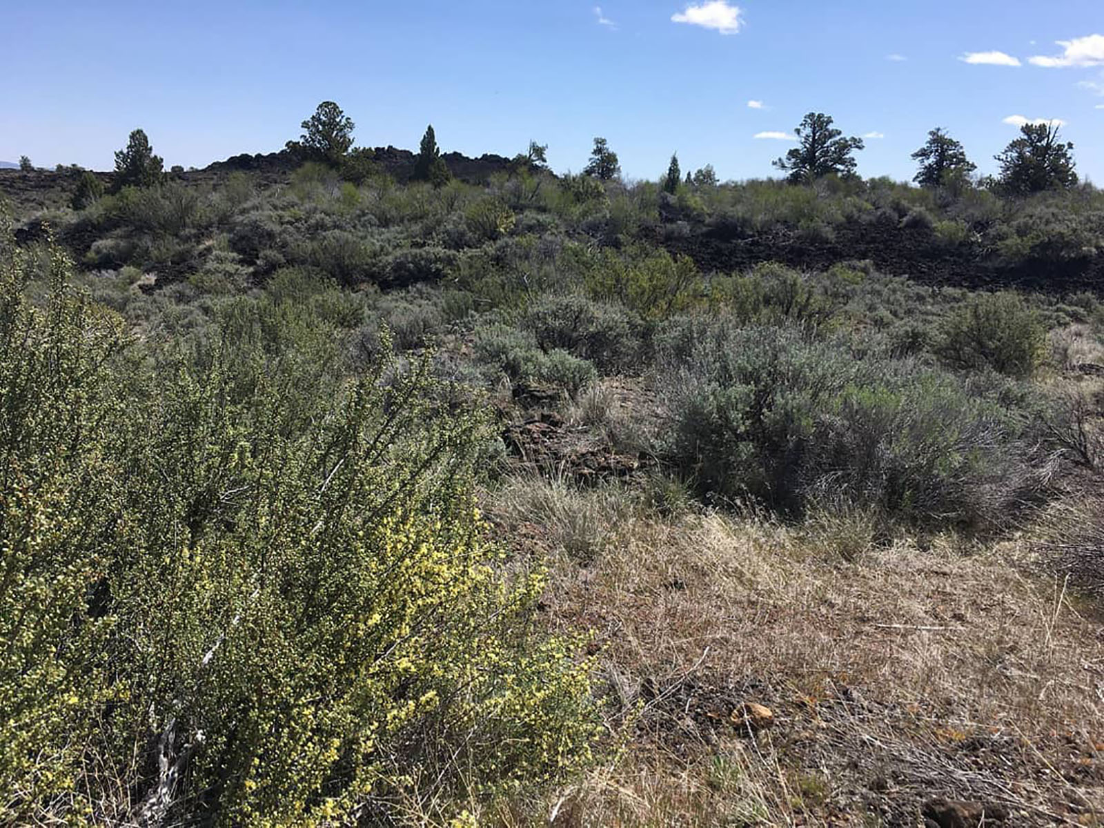 Thomas-Wright Battlefield Trail Start, Tulelake, CaHikingPhoto: NPS photo by Ranger Aimee0.8 mi
- Whitney Butte TrailHiking1.4 mi
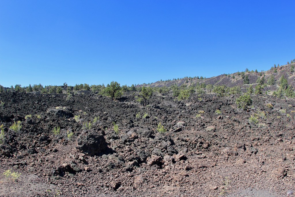 Gold Digger Pass TrailHikingPhoto: daveynin, CC BY 2.0 (via Flickr)1.6 mi
- Thomas-Wright Battlefield TrailHiking1.7 mi
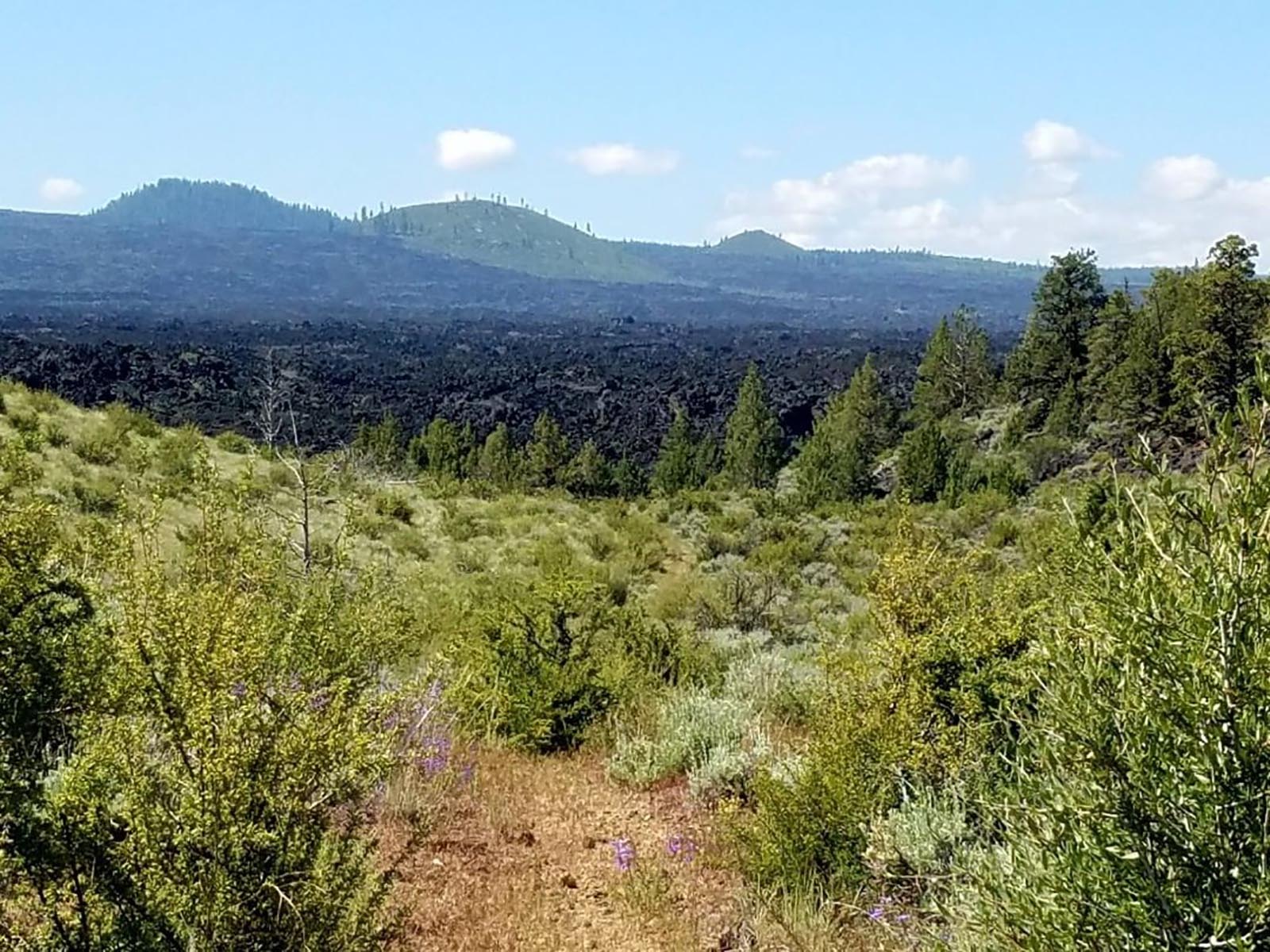 Whitney Butte Trail Start, Tulelake, CaHiking2.3 mi
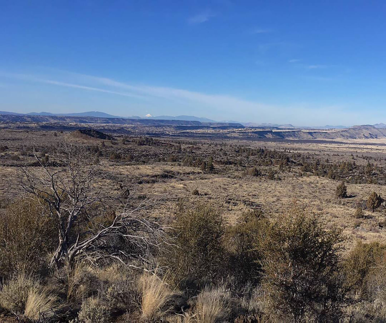 Schonchin Butte Trail Start, Tulelake, CaHikingPhoto: NPS photo by Ranger Aimee2.5 mi
 Schonchin Lookout TrailHikingPhoto: Schonchin, CC BY-SA 3.0 (via Wikimedia Commons)2.5 mi
- Powerline TrailHiking3.2 mi
- Balcony BridgeNatural arch~3 min drive
- Merrill Natural BridgeNatural arch~4 min drive
- Irish BridgeNatural arch~6 min drive
- Peninsula BridgeNatural arch~7 min drive
- Heppe BridgeNatural arch~7 min drive
- Garden BridgesNatural arch~8 min drive
- Sentinel BridgeNatural arch~8 min drive
- Natural BridgeNatural arch~8 min drive
- Guano BridgeNatural arch~9 min drive
- Forbidden ArchNatural arch~11 min drive
Conditions and forecast
Caution todayAgency alerts are in effect for this areaUSFS · checked 3 min agoDaily highs and lows, wind and the chance of precipitation at Dragons Mouth for the next 7 days, from the Open-Meteo model.

Ask about this place
Questions about Dragons Mouth: conditions, access, timing. Answers say when something isn't known.
