Forbidden Arch
- 4,094 ft
- elevation
- U.S. Fish and Wildlife Service
- managed by
- May–Jun, Aug–Sep
- best months
Forbidden Arch is a natural arch in California's Tule Lake National Wildlife Refuge, managed by the U.S. Fish and Wildlife Service. It sits at about 4,094 feet, roughly 8.5 miles from the town of Tulelake. The most comfortable months for a visit are typically late spring and early fall. Typical averages from a nearby weather station in Tulelake show May highs around 69°F and September highs near 79°F, with only a few wet days in each. Summer runs warmer, with July highs around 86°F, and winter brings highs in the low 40s and frequent rain. Several trails start close by. The Gillem Bluff Trail Start is about 1.6 miles away, and the Sheepherder Trail is about 2.7 miles off. The Inner Loop and the Captain Jacks Stronghold Trail Start are both about 3.4 miles from the arch.
- Elevation
- 4,094 ft
- Land manager
- U.S. Fish and Wildlife Service
Elevation from USGS 3D Elevation Program terrain data (about 10 m resolution).
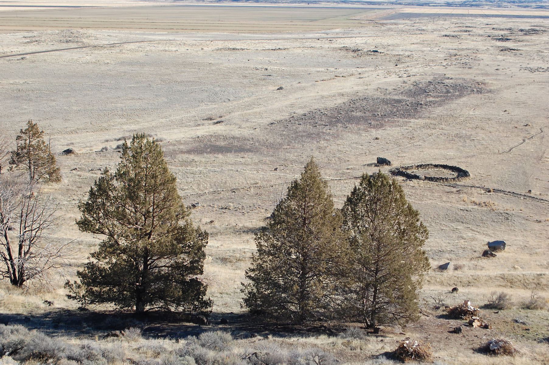 Gillem Bluff Trail Start, Tulelake, CaHiking1.6 mi
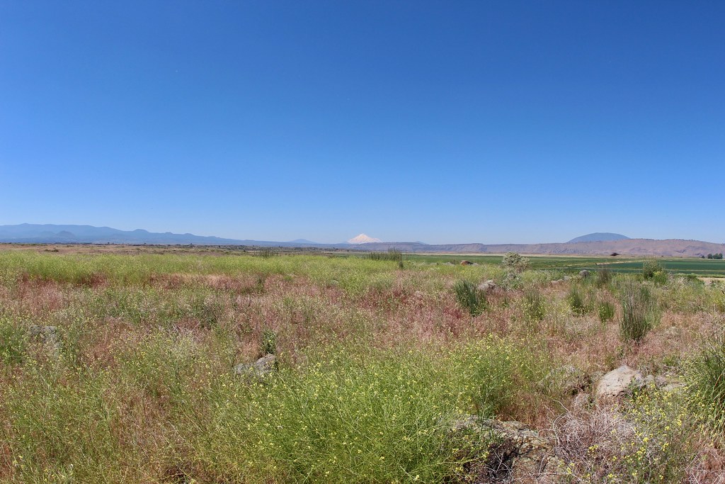 Sheepherder TrailHikingPhoto: daveynin, CC BY 2.0 (via Flickr)2.7 mi
 Inner LoopHikingPhoto: NoeHill, CC BY-SA 3.0 (via Wikimedia Commons)3.4 mi
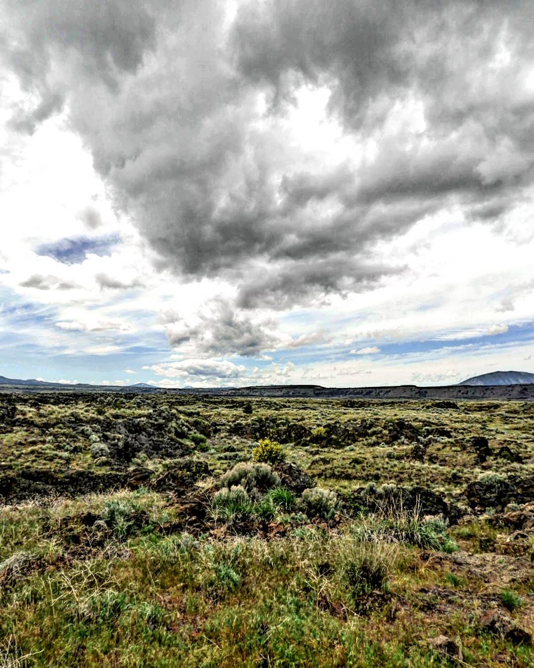 Captain Jacks Stronghold Trail Start, Tulelake, CaHikingPhoto: Photo by Brian Powers3.4 mi
- Outer LoopHikingPhoto: NoeHill, CC BY-SA 3.0 (via Wikimedia Commons)3.5 mi
- Powerline TrailHiking3.5 mi
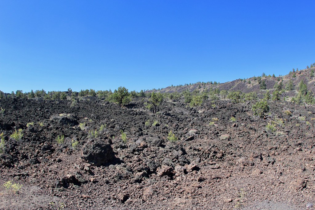 Gold Digger Pass TrailHikingPhoto: daveynin, CC BY 2.0 (via Flickr)4.6 mi
- Thomas-Wright Battlefield TrailHiking5.5 mi
Source: Roamze catalog (indexable pages within 10 miles, PostGIS distance)
- Guano BridgeNatural arch · ~9 min drive
- Balcony BridgeNatural arch · ~12 min drive
- Captain Jacks BridgeNatural arch · ~13 min drive
- Symbol BridgeNatural arch · ~14 min drive
- Peninsula BridgeNatural arch · ~14 min drive
- Merrill Natural BridgeNatural arch · ~14 min drive
- Irish BridgeNatural arch · ~14 min drive
- Garden BridgesNatural arch · ~17 min drive
- Sentinel BridgeNatural arch · ~17 min drive
- Ovis BridgeNatural arch · ~17 min drive
Best time to visit Forbidden Arch
Best months: May–June and August–September. Best months have typical highs of 55–85 °F, lows of 30 °F or warmer (32 °F where the station doesn't record snow), at most one snowy day and no more than 12 wet days.
Jan
42° / 21°
14 wet
Feb
47° / 23°
12 wet
Mar
53° / 26°
13 wet
Apr
59° / 30°
11 wet
May
69° / 37°
9 wet
Jun
77° / 42°
5 wet
Jul
86° / 47°
2 wet
Aug
85° / 44°
2 wet
Sep
79° / 38°
3 wet
Oct
66° / 30°
6 wet
Nov
50° / 25°
11 wet
Dec
41° / 20°
13 wet
Typical high / low (°F) and days with rain or snow, 1991–2020. Measured at Tulelake, CA, 9 mi away at 4,038 ft. This station doesn't record snowfall. Source: NOAA NCEI U.S. Climate Normals 1991–2020.

