

Camp Always Choose Adventures
Hiking business nearby (~13 mi away) — hasn't claimed their Roamze page yet

Colorado
Free — you'll pick up right here.
3.0 mi
Distance
1,327 ft
Gain
1h 40m
Time
Agency alerts are in effect for this area; weather is good
2 factors · 2 sources
Newest 22 h ago · oldest 22 h
caution: Agency alerts
64 active alerts in Arapaho and Roosevelt National Forests; most severe: Fire Restrictions
USFSPosted Sep 21 · checked 22 h ago
clear: Weather
Clouds, high 56°F / low 49°F, 37% precip — 85/100 for hike
OpenWeather22 h ago
Been out here in the last few days? One report keeps this current for everyone.
Why you'll love it
Diamond Lake
Suggested plan · check conditions before you go
Diamond Lake is a 2.99-mile loop trail in Colorado with 1,327 feet of elevation gain and loss. The trail reaches a maximum elevation of 11,506 feet.
The climb is steady from start to finish.
Source: Roamze elevation profile and trail geometry (DEM samples along the mapped route)
Source: Wilderness.net boundaries; USFS EDW boundaries; USGS PAD-US 4.1
Active alerts for Boulder Ranger District as of Oct 9, 2026:
Raptor Nesting Area Closure - Boulder Ranger District
caution · posted Aug 24, 2026
caution · posted Aug 24, 2026
Source: USFS forest alerts
Source: Roamze catalog (indexable pages within 10 miles, PostGIS distance)
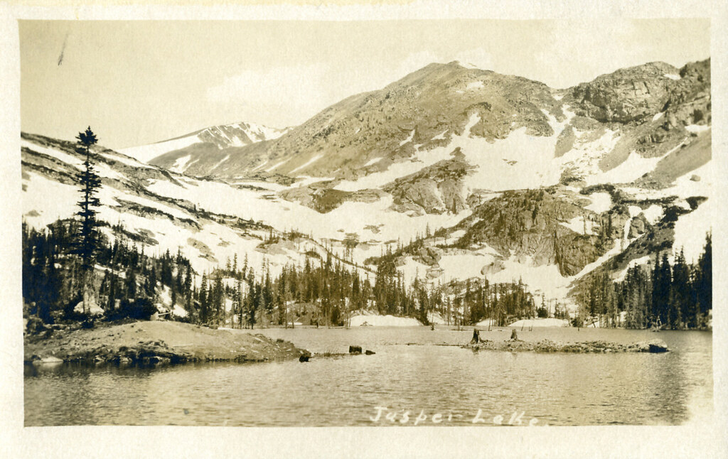 Photo: waterarchives, CC BY-SA 2.0 (via Flickr)
Diamond Lake Trail
~1 min drive
1.7-mile out-and-back hike to Diamond Lake in Colorado with 862 ft of gain.
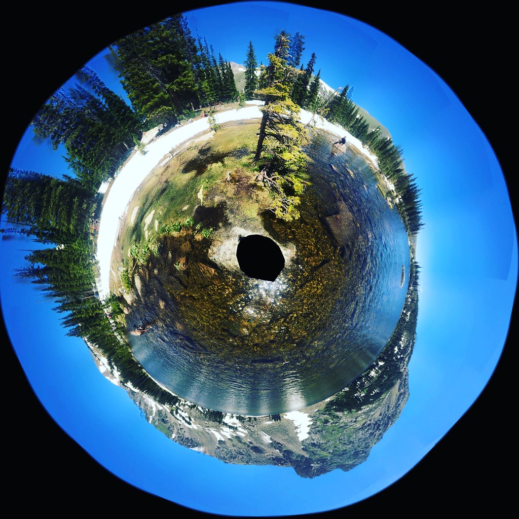 Photo: katiebordner, CC BY 2.0 (via Flickr)
Chittenden Mtn
~4 min drive
4.80-mile out-and-back trail in Colorado with 1,487 ft gain.
 Photo: Ben Makuh, CC BY-SA 2.0 (via Flickr)
Horseshoe Creek
~6 min drive
0.64-mile out-and-back trail at 9,813 ft elevation in Colorado.
 Photo: Greg Willis, CC BY-SA 3.0 (via Wikimedia Commons)
North Arapaho Peak
~1 min drive
Route to the summit of North Arapaho Peak (13,451 ft) from arapahoe pass trail.
 Photo: Greg Willis, CC BY-SA 3.0 (via Wikimedia Commons)
Diamond Lake Trail
~2 min drive
2.55-mile trail in Colorado with 400 ft elevation gain and a max elevation of 10,200 ft.
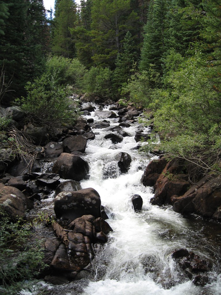 Photo: laurascudder, CC BY-SA 2.0 (via Flickr)
Devils Thumb
~4 min drive
13.09-mile out-and-back trail in Colorado with 4,982 ft elevation gain.
Photo: laurascudder, CC BY-SA 2.0 (via Flickr)Devils Thumb Bypass
~4 min drive
2.73-mile out-and-back trail in Colorado with 346 ft elevation gain.
Photo: Greg Willis, CC BY-SA 3.0 (via Wikimedia Commons)Old Baldy
~1 min drive
Route to the summit of Old Baldy (13,038 ft) from Fourth of July Trailhead.
Photo: laurascudder, CC BY-SA 2.0 (via Flickr)King Lake
~4 min drive
4.45-mile loop trail at 11,665 ft with 1,486 ft gain in Colorado.
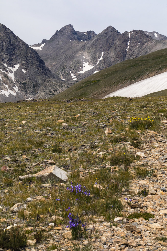 Photo: John Game, CC BY 2.0 (via Flickr)
Niwot Ridge
~10 min drive
5.29-mile out-and-back trail on Niwot Ridge in Colorado, 906 ft elevation gain.
Local operatorsoffering guided trips. You book directly with them — Roamze doesn’t take a cut.
Camp Always Choose Adventures
Hiking business nearby (~13 mi away) — hasn't claimed their Roamze page yet
Wildcat Mountaineering
Hiking business nearby (~26 mi away) — hasn't claimed their Roamze page yet
Lostfork Basecamp
Hiking business nearby (~36 mi away) — hasn't claimed their Roamze page yet
