Devils Head
 Photo: Jeff Albright, CC BY-SA 3.0 (via Wikimedia Commons)
At a glance
Devils Head is a summit of 9,723 feet in the South Platte Ranger District of the Pike and San Isabel National Forests in Colorado, about 7 miles from the town of Perry Park. The Forest Service manages the land. Summer is the most comfortable time to visit. Typical averages from a nearby weather station show July highs around 74°F with lows near 47°F, while winter highs stay in the low 30s. The summit sits right beside several other destinations. The Waffle House and Digital Tower climbing areas and the Zinn Trail are all about a tenth of a mile away. Devils Head Campground is under a mile off.
- summit
- 9,723 ft
- ways up
- 2
- managed by
- Forest Service
- best months
- Jun–Sep
Where it is: South Platte Ranger District · Pike and San Isabel National Forests
Near: Castle Rock
Best time to visit Devils Head
Best months: June–September. Best months have typical highs of 55–85 °F, lows of 30 °F or warmer (32 °F where the station doesn't record snow), at most one snowy day and no more than 12 wet days.
Jan
33°
9°
Feb
34°
11°
Mar
41°
17°
Apr
47°
23°
May
57°
31°
Jun
69°
41°
Jul
74°
47°
Aug
71°
45°
Sep
65°
38°
Oct
54°
27°
Nov
42°
18°
Dec
33°
12°
Typical high / low (°F) and days with rain or snow, 1991–2020. Measured at Divide 4nw, CO, 21.6 mi away at 9,134 ft. The station sits about 600 ft lower than this place, so expect it a little cooler here. This station doesn't record snowfall. Source: NOAA NCEI U.S. Climate Normals 1991–2020.
Been here? Tell people how it was.
- Devils HeadEasyFrom Devils Head Trailhead (about 8,837 ft) · about 809 ft of climbing2.8 mi round trip
- Zinn TrailEasyabout 248 ft of climbing0.6 mi round trip
Compare the routes Devils Head Zinn Trail Starts at Devils Head Trailhead — Climbing About 809 ft About 248 ft Round trip 2.8 mi 0.6 mi Difficulty Easy Easy Terrain Hike Hike Season Year-round — Map © Mapbox © OpenStreetMap contributors - Bear Mountain7,735 ft · Colorado1 route7.8 mi away
 Carpenter Peak7,169 ft · Colorado1 route12 mi awayPhoto: MAD Hippies Life, CC BY-SA 2.0 (via Wikimedia Commons)
- Spruce Mountain7,616 ft · Colorado1 route13 mi away
- Sundance Mountain8,256 ft · Colorado2 routes13 mi away
- Cedar Mountain8,938 ft · Colorado1 route14 mi away
- Chautauqua Mountain8,346 ft · Colorado1 route14 mi away
 Dawson ButteSummitPhoto: Jeffrey Beall, CC BY 4.0 (via Wikimedia Commons)~16 min drive
- Carpenter PeakSummitPhoto: MAD Hippies Life, CC BY-SA 2.0 (via Wikimedia Commons)~20 min drive
 Cathedral SpiresSummitPhoto: Unknown authorUnknown author, Public domain (via Wikimedia Commons)~24 min drive
 Buffalo PeakSummitPhoto: Thomson200, CC0 (via Wikimedia Commons)~24 min drive
 Elephant RockSummitPhoto: Oclupaca, CC0 (via Wikimedia Commons)~26 min drive
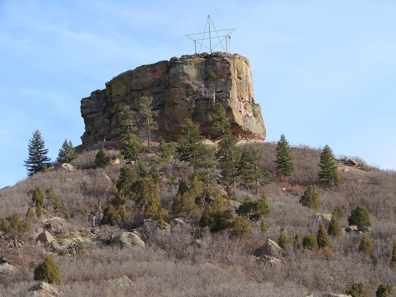 Castle RockSummitPhoto: Jeff Albright, CC BY-SA 3.0 (via Wikimedia Commons)~27 min drive
 Mount HermanSummitPhoto: Jeffrey Beall, CC BY 4.0 (via Wikimedia Commons)~27 min drive
 Mount BaileySummitPhoto: RandomInfinity17, CC0 (via Wikimedia Commons)~38 min drive
 Berrian MountainSummitPhoto: Xnatedawgx, CC BY-SA 3.0 (via Wikimedia Commons)~39 min drive
 Blodgett PeakSummitPhoto: Thomson200, CC0 (via Wikimedia Commons)~40 min drive
Conditions and forecast
Daily highs and lows, wind and the chance of precipitation at the summit and devils head trailhead for the next 7 days, from the Open-Meteo model.
Questions about Devils Head
How tall is Devils Head?
9,723 ft (2,964 m).
How many routes go to the summit of Devils Head?
2: Devils Head and Zinn Trail.
What is the shortest route up Devils Head?
Zinn Trail, about 0.6 mi round trip.
Where do the routes up Devils Head start?
Devils Head starts at Devils Head Trailhead (about 8,837 ft).
When is the best time to climb Devils Head?
Year-round.

Ask about this place
Questions about Devils Head: conditions, access, timing. Answers say when something isn't known.
