Devils Head
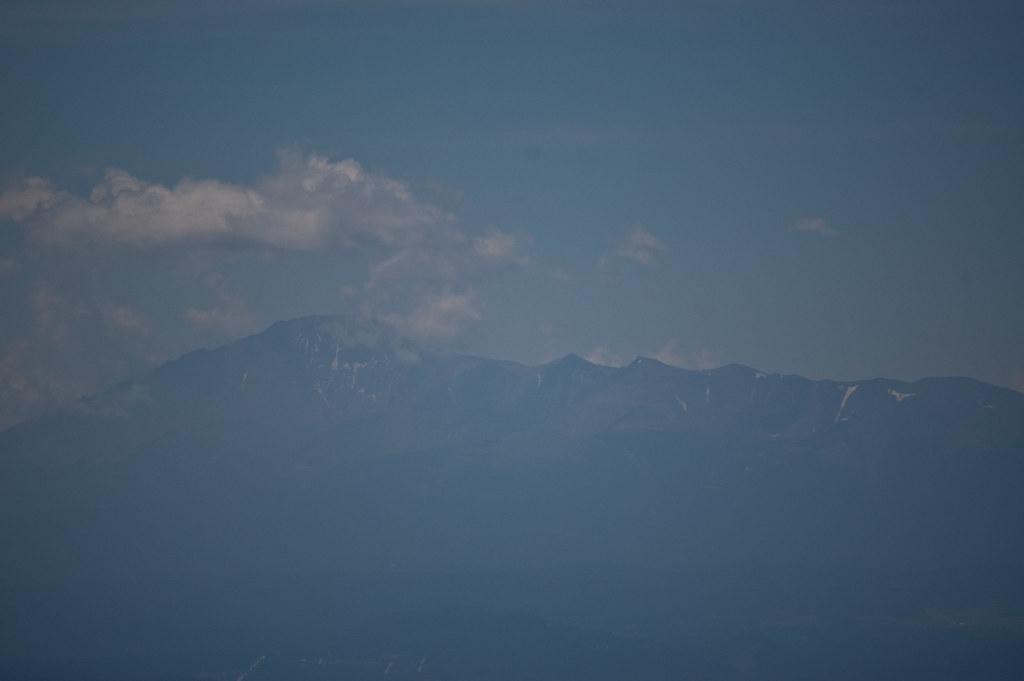 Photo: Ben Mason, CC BY 2.0 (via Flickr)
- 2.8 mi
- round trip
- 809 ft
- climb
- 9,664 ft
- high point
- Out and back
- route
Is Devils Head open right now?
Alert in the area
The Forest Service lists 8 alerts for Pike and San Isabel National Forests.
FSR 286, Radical Hill, is closed due to washouts and unsafe conditions
Agency alert covering Pike and San Isabel National Forests · USFS · Pike and San Isabel National Forests
Interlaken Hotel Tree Hazards
Agency alert covering Pike and San Isabel National Forests · USFS · Pike and San Isabel National Forests
Sharpe Fire Update
Agency alert covering Pike and San Isabel National Forests · USFS · Pike and San Isabel National Forests
Turquoise Lake Road (County Road 4) Closure
Agency alert covering Pike and San Isabel National Forests · USFS · Pike and San Isabel National Forests
Downed and weakened trees on South Platte Ranger District
Agency alert covering South Platte Ranger District · USFS · South Platte Ranger District
As of · Source: USFS · Pike and San Isabel National Forests. Agencies don't list every closure — check before you go.
Devils Head is an easy out-and-back hike of about 2.8 miles in the South Platte Ranger District of the Pike and San Isabel National Forests in Colorado, managed by the Forest Service. The trail rises from a low point of about 8,837 feet to a high of about 9,664 feet, with a total elevation gain of about 809 feet. The route is on natural surface, and bikes are not allowed. Devils Head Campground sits just 0.2 miles away, and the Devils Head Spur Trail 679.A is about 0.3 miles off. Climbers will find the Main Area and Unicorn Valley climbing areas within about 0.4 miles.
Local outfitters
- Lostfork Basecamp33 mi away
- Broadmoor Outfitters36 mi away
Not on Roamze yet. Their page has how to reach them.
Conditions and forecast on Devils Head
Daily highs and lows, wind and the chance of precipitation at the summit and route start for the next 7 days, from the Open-Meteo model.
- Devils Head CampgroundCamping0.2 mi
- Devils Head Spur Trail 679.AHikingPhoto: Ben Mason, CC BY 2.0 (via Flickr)0.3 mi
- Main AreaRock climbing0.4 mi
- Unicorn ValleyRock climbing0.4 mi
 Long Hollow Trail 650HikingPhoto: Ben Mason, CC BY 2.0 (via Flickr)0.5 mi
- Flat Rocks CampgroundCamping4.1 mi
- Horse CreekCanoeing5.8 mi
- South Platte RiverRiver fishing9.9 mi
Source: Roamze catalog (indexable pages within 10 miles, PostGIS distance)
- Devils Head Spur Trail 679.AHiking · Next doorPhoto: Ben Mason, CC BY 2.0 (via Flickr)
 770 Turtle MountainHiking · ~9 min drivePhoto: halseike, CC BY 2.0 (via Flickr)
- Long Hollow Trail 650Hiking · Next doorPhoto: Ben Mason, CC BY 2.0 (via Flickr)
- Noodle Trail 677Hiking · ~7 min drive
- New Radio Head Rock Climbing trailHiking · ~1 min drivePhoto: Ben Mason, CC BY 2.0 (via Flickr)
- FT 679 Devil's Slide TrailHiking · ~3 min drive
- TURTLE MOUNTAINHiking · ~5 min drive
- Dutch Fred Trail 679Hiking · ~3 min drive
- approxomate path locationHiking · ~1 min drivePhoto: Ben Mason, CC BY 2.0 (via Flickr)
- TROUT CREEK CONNECTIONHiking · ~4 min drive


Route details
- Distance
- 2.8 mi round trip
- Climbing
- About 809 ft
- Starts at
- Devils Head Trailhead (about 8,837 ft)
- Summit
- 9,723 ft
- Difficulty
- Easy
Getting there
Park at DEVILS HEAD TH.
Season
Season: Year-round.
Other routes up Devils Head
Questions about this route
How long is the Devils Head on Devils Head?
About 2.8 mi round trip from Devils Head Trailhead (about 8,837 ft).
How much elevation gain is on the Devils Head?
About 809 ft of climbing round trip.
How hard is the Devils Head?
It is rated easy.
Where does the Devils Head start?
Devils Head Trailhead (about 8,837 ft).
When is the best time for the Devils Head?
Year-round.
How many routes go up Devils Head?
2: Devils Head and Zinn Trail.
