Desrt Hound
At a glance
Desrt Hound is a 5.92-mile out-and-back trail in California managed by the National Park Service with 1,279 feet of elevation gain.
- round trip
- 3.0 mi
- climb
- 1,279 ft
- route
- Out and back
- difficulty
- Moderate
Near: Tecopa
Loading this week's forecast
Been here? Tell people how it was.
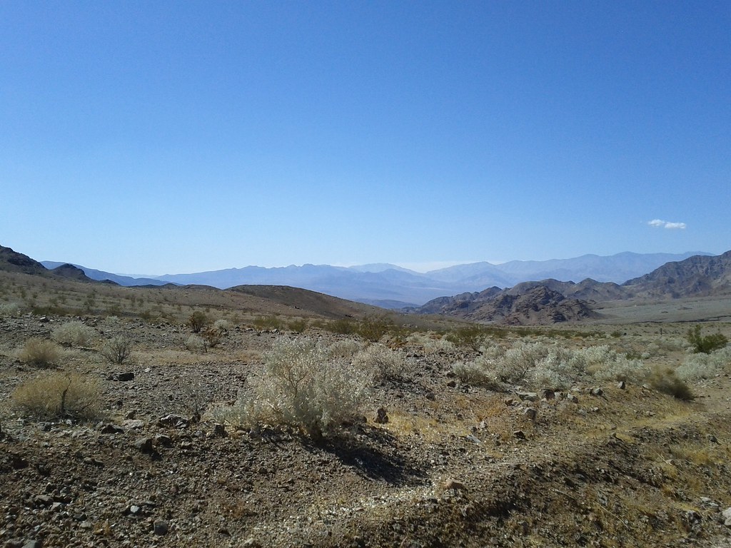 Virgin Springs CanyonHikingPhoto: Michael Voelker, CC BY 2.0 (via Flickr)~6 min drive
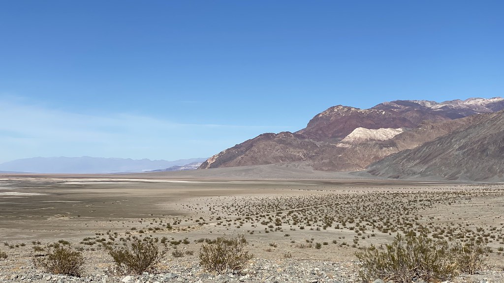 Sidewinder CanyonHikingPhoto: lamblukas, CC BY 2.0 (via Flickr)~18 min drive
 Shoshone Historic LoopHikingPhoto: string_bass_dave, CC BY-SA 2.0 (via Flickr)~29 min drive
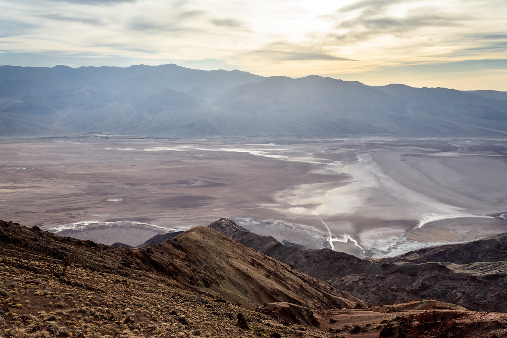 Dantes PeakHikingPhoto: dconvertini, CC BY-SA 2.0 (via Flickr)~32 min drive
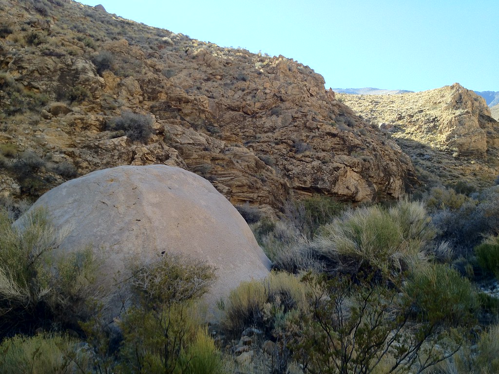 Hungry Bill's RanchHikingPhoto: stevelyon, CC BY-SA 2.0 (via Flickr)~42 min drive
- Telescope PeakHiking~53 min drive
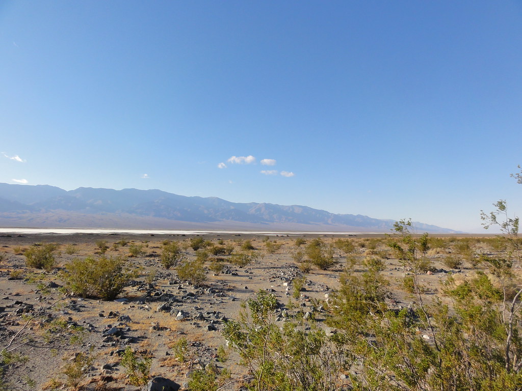 Willow CanyonHikingPhoto: inazakira, CC BY-SA 2.0 (via Flickr)~18 min drive
- Blue TrailHikingPhoto: string_bass_dave, CC BY-SA 2.0 (via Flickr)~31 min drive
- Hanaupah Canyon hiking routeHiking~49 min drive
 Surprise Canyon hiking routeHikingPhoto: Roebot, CC BY-SA 2.0 (via Flickr)~59 min drive
Conditions and forecast
Daily highs and lows, wind and the chance of precipitation at Start for the next 7 days, from the Open-Meteo model.


Ask about this place
Questions about Desrt Hound: conditions, access, timing. Answers say when something isn't known.
