Cone Peak
 Photo: Doug Letterman, CC BY 2.0 (via Wikimedia Commons)
At a glance
Cone Peak is a summit in the Monterey Ranger District of Los Padres National Forest in California, managed by the Forest Service. The nearest town is Fort Hunter Liggett, about 15 miles away. Several trails start close to the summit. North Coast Ridge is about 0.2 miles away, and the North Coast Ridge Trail and Gamboa Trail are both within half a mile. For camping, Kirk Creek is about 4 miles off.
- summit
- 5,146 ft
- managed by
- Forest Service
Where it is: Monterey Ranger District · Los Padres National Forest
Near: Greenfield
Been here? Tell people how it was.
We don't know of a mapped trail or route to the summit of Cone Peak. Plan the approach with local maps, a guidebook or a local guide, and check conditions before you go.
- Twin Peak4,840 ft · California1 route0.7 mi away
 Junipero Serra Peak5,853 ft · California1 route7.8 mi awayPhoto: Thomson200, CC0 (via Wikimedia Commons)
- Marble Peak4,014 ft · California2 routes11 mi away
- Silver Peak3,581 ft · California1 route16 mi away
- Mount Mars2,665 ft · California1 route19 mi away
- Ventana Double Cone4,853 ft · California1 route21 mi away
 NORTH COAST RIDGEHikingPhoto: scorpio-tiger, CC BY-SA 2.0 (via Flickr)0.2 mi
- North Coast Ridge TrailHikingPhoto: scorpio-tiger, CC BY-SA 2.0 (via Flickr)0.4 mi
 Gamboa TrailHikingPhoto: garmonb0zia, CC0 (via Wikimedia Commons)0.5 mi
- Kirk CreekCamping4.3 mi
- Memorial ParkCamping4.9 mi
 The BeachRock climbingPhoto: Thomson M, CC BY 3.0 (via Wikimedia Commons)5.6 mi
 Wagon CavesRock climbingPhoto: Bob n Renee, CC BY 2.0 (via Flickr)5.7 mi
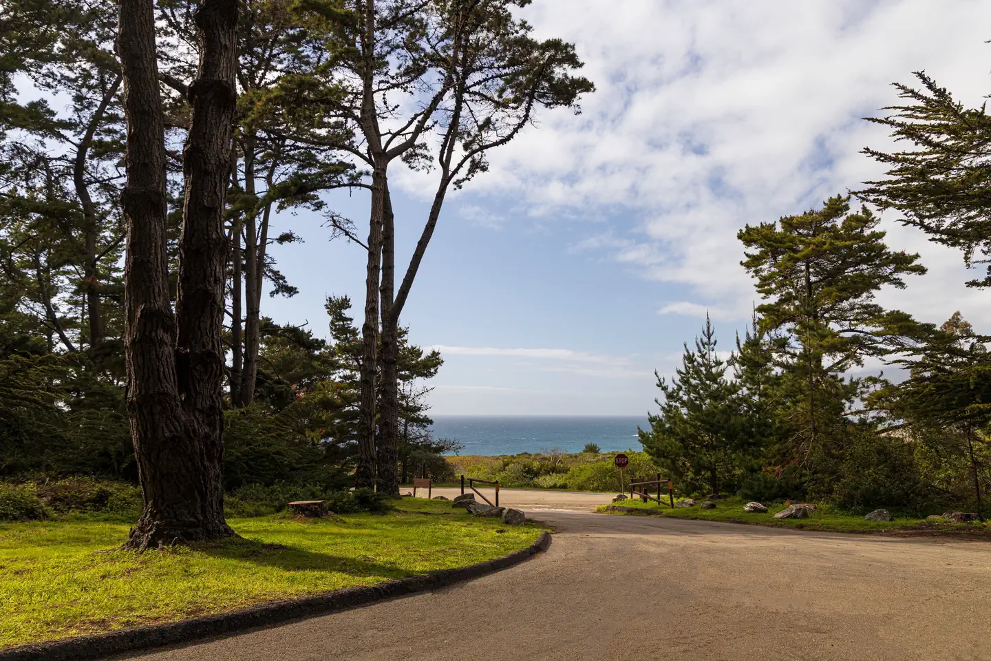 Plaskett Creek CampgroundSurf fishing9.5 mi
- Junipero Serra PeakSummitPhoto: Thomson200, CC0 (via Wikimedia Commons)~13 min drive
 South Chalone PeakSummitPhoto: Miguel Vieira, CC BY 2.0 (via Wikimedia Commons)~54 min drive
- North Chalone PeakSummitPhoto: Miguel Vieira, CC BY 2.0 (via Wikimedia Commons)~55 min drive
 Scout PeakSummitPhoto: Clyde Charles Brown, CC BY-SA 4.0 (via Wikimedia Commons)~58 min drive
 The FingersSummitPhoto: Clyde Charles Brown, CC BY-SA 4.0 (via Wikimedia Commons)~58 min drive
 Hawkins PeakSummitPhoto: Clyde Charles Brown, CC BY-SA 4.0 (via Wikimedia Commons)~59 min drive
 Fremont PeakSummitPhoto: Thomson200, CC0 (via Wikimedia Commons)~1h 23m drive
- Twin PeakSummit~1 min drive
- Marble PeakSummit~19 min drive
- Silver PeakSummit~28 min drive
Conditions and forecast
Daily highs and lows, wind and the chance of precipitation at the summit for the next 7 days, from the Open-Meteo model.
Questions about Cone Peak
How tall is Cone Peak?
5,146 ft (1,569 m).
Is there a trail to the top of Cone Peak?
We don't know of a mapped trail or route to the summit. Plan the approach with local maps, a guidebook or a local guide.

Ask about this place
Questions about Cone Peak: conditions, access, timing. Answers say when something isn't known.
