The Beach
8 sport climbing routes in California, 4 difficulty grades.
 Photo: Thomson M, CC BY 3.0 (via Wikimedia Commons)
- 8 routes
- 5.7 – 5.10b
- Sport
Is Beach, The open right now?
Closure in the area
There's a closure order in Monterey Ranger District. It doesn't name Beach, The, so check the source for the area it covers.
Monterey Ranger District Emergency Closure Order with Exceptions
Agency closure covering Monterey Ranger District · Order 05-07-51-26-11 · USFS · Monterey Ranger District
Los Padres Fire Use and Firearm Restrictions
Agency alert covering Los Padres National Forest · Order 05-07-00-26-05 · USFS · Los Padres National Forest
San Carpoforo Beach Prohibition of Overnight Camping and Campfires
Agency alert covering Monterey Ranger District · Order 05-07-51-26-03 · USFS · Monterey Ranger District
Santa Barbara Front Country Fire Use Restrictions
Agency alert covering Los Padres National Forest · Order 05-07-5406-01 · USFS · Los Padres National Forest
As of · Source: USFS · Monterey Ranger District. Agencies don't list every closure — check before you go.
Best time to visit The Beach
Best months: Year-round. Best months have typical highs of 55–85 °F, lows of 30 °F or warmer (32 °F where the station doesn't record snow), at most one snowy day and no more than 12 wet days.
Jan
63° / 38°
9 wet
Feb
65° / 40°
9 wet
Mar
70° / 42°
8 wet
Apr
74° / 44°
5 wet
May
78° / 48°
2 wet
Jun
83° / 51°
1 wet
Jul
85° / 54°
0 wet
Aug
85° / 54°
0 wet
Sep
85° / 51°
1 wet
Oct
80° / 46°
2 wet
Nov
70° / 41°
5 wet
Dec
62° / 37°
8 wet
Typical high / low (°F) and days with rain or snow, 1991–2020. Measured at King City, CA, 17.1 mi away at 320 ft. The station sits about 1,300 ft lower than this place, so expect it a little cooler here. Source: NOAA NCEI U.S. Climate Normals 1991–2020.
The Beach is a climbing area in the Ventana Wilderness, part of the Monterey Ranger District of Los Padres National Forest in California. The Forest Service manages the land. Spring and fall are the most comfortable times to visit. Typical averages from a nearby weather station in King City show May highs around 78°F and October highs around 80°F, with only a couple of wet days in each month. That station sits well below the wilderness, so temperatures up high run cooler. Wagon Caves, another climbing area, is just 0.2 miles away. The Carrizo hike is about 1.3 miles off, and the Adobe-Santa Lucia Connector Trail is about 2.3 miles away. For an overnight stay, Memorial Park campground is about 4.2 miles away.
Keep exploring — more climbs worth the drive
 Photo: Bob n Renee, CC BY 2.0 (via Flickr)
Wagon Caves
~0 min drive
Wagon Caves in California has 14 climbing routes across 9 grades.
 Photo: sergei.gussev, CC BY 2.0 (via Flickr)
Gremlin Boulder
~23 min drive
Gremlin Boulder is a 5-route bouldering area in California.
Photo: sergei.gussev, CC BY 2.0 (via Flickr)Willow Creek Picnic Ground
~23 min drive
 Photo: Effeietsanders, CC BY-SA 4.0 (via Wikimedia Commons)
The Sisters
~50 min drive
Sisters, The in California has 10 climbing routes across 6 grades, offering sport and trad styles.
 Photo: ray_explores, CC BY 2.0 (via Flickr)
The Yaks
~50 min drive
5-route climbing area in California with sport and trad options.
Photo: ray_explores, CC BY 2.0 (via Flickr)Yaks Wall
~50 min drive
Yaks Wall in California has 6 climbing routes across 4 grades, offering sport and trad styles.
 Photo: btwashburn, CC BY 2.0 (via Flickr)
Monolith
~50 min drive
Monolith in California has 6 sport climbing routes across 6 difficulty grades.
Photo: btwashburn, CC BY 2.0 (via Flickr)Upper Crust
~51 min drive
Upper Crust in California has 12 climbing routes across 10 grades.
Photo: btwashburn, CC BY 2.0 (via Flickr)East Face
~51 min drive
East Face in California has 18 climbing routes across 14 grades, featuring sport and trad options.
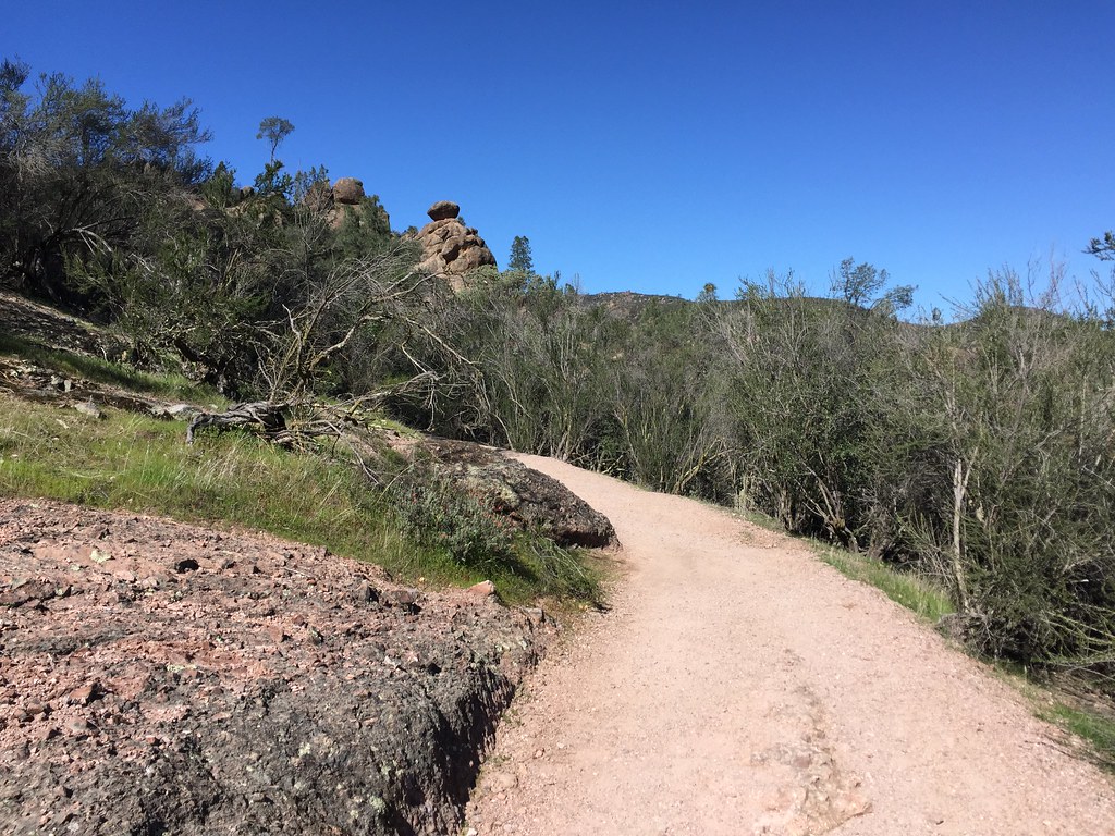 Photo: ray_explores, CC BY 2.0 (via Flickr)
North Face
~51 min drive
North Face in California has 5 sport climbing routes across 4 grades.


