

Fontanillis Lake
Campground
3.3 mi from the trail
 Photo: ilya_ktsn, CC BY 2.0 (via Flickr)
Clyde Lake is a bouldering area in the Desolation Wilderness, part of the Pacific Ranger District of Eldorado National Forest in California. The Forest Service manages the land, and the area sits within designated wilderness. The climbing here is all bouldering, with seven routes spread across the boulders. The grades run from V0-1 up to V4, with the median around V3-4. Among the named routes are Red Hen Arete at V0-1, Asteroid Belt at V3, and Neowise at V4. Summer is the most comfortable time to visit. Typical averages from a nearby weather station at Dagget Pass, Nevada, show July highs around 75°F with lows near 49°F and only about two wet days. That station sits roughly 750 feet lower than the area, so temperatures at Clyde Lake run a little cooler. The closest neighbor is the Desolation Wilderness Bouldering, about a mile away. Wrights Lake, another climbing area, is about 2.5 miles off. For a hike, Aloha Desolation and Sylvia are both within about 2.3 miles.
7 routes · V0-1 – V4 · Bouldering
Where it is: Desolation Wilderness · Pacific Ranger District
Near: South Lake Tahoe
Blocked today
Weather is adverse; agency alerts are in effect for this area · USFS, OpenWeather · checked just now
Best months: May–October. Best months have typical highs of 55–85 °F, lows of 30 °F or warmer (32 °F where the station doesn't record snow), at most one snowy day and no more than 12 wet days.
Jan
36°
23°
9 wet
Feb
37°
23°
8 wet
Mar
42°
26°
7 wet
Apr
48°
29°
5 wet
May
56°
35°
4 wet
Jun
66°
42°
2 wet
Jul
75°
49°
2 wet
Aug
74°
49°
1 wet
Sep
67°
44°
2 wet
Oct
55°
36°
3 wet
Nov
43°
28°
5 wet
Dec
35°
23°
7 wet
Typical high / low (°F) and days with rain or snow, 1991–2020. Measured at Dagget Pass, NV, 16.4 mi away at 7,334 ft. The station sits about 700 ft lower than this place, so expect it a little cooler here. This station doesn't record snowfall. Source: NOAA NCEI U.S. Climate Normals 1991–2020.
Fire Restrictions are in Effect Forest Wide
Eldorado National Forest · Order dated September 22, 2026; seen Aug 23, 2026 → lifted Nov 2, 2026 · Forest Service
Been here? Tell people how it was.
 Desolation Wilderness BoulderingRock climbingPhoto: ilya_ktsn, CC BY 2.0 (via Flickr)1.2 mi
 Aloha DesolationHikingPhoto: lamblukas, CC BY 2.0 (via Flickr)2.2 mi
 Lovers Leap Cg & Day UseCampingPhoto: -Jérôme- — CC BY 2.0 (via Flickr)5.5 mi
 South Fork American RiverCanoeingPhoto: Tim Who wants to know, CC BY-SA 2.0 (via Wikimedia Commons)6.7 miDesolation Wilderness BoulderingRock climbingPhoto: ilya_ktsn, CC BY 2.0 (via Flickr)~2 min drive
 Troubled Waters BoulderRock climbingPhoto: ray_explores, CC BY 2.0 (via Flickr)~7 min driveGemini BouldersRock climbingPhoto: ray_explores, CC BY 2.0 (via Flickr)~7 min drive
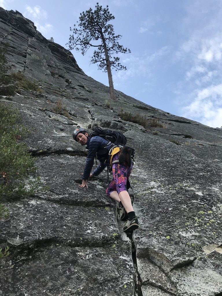 North FaceRock climbingPhoto: jfdervin, CC BY-SA 2.0 (via Flickr)~9 min drive
 South FaceRock climbingPhoto: jfdervin, CC BY-SA 2.0 (via Flickr)~9 min drive
 East WallRock climbingPhoto: jfdervin, CC BY-SA 2.0 (via Flickr)~9 min driveCampground BouldersRock climbingPhoto: jfdervin, CC BY-SA 2.0 (via Flickr)~9 min driveCentral WallRock climbingPhoto: jfdervin, CC BY-SA 2.0 (via Flickr)~9 min drive
 Lower ButtressRock climbingPhoto: jfdervin, CC BY-SA 2.0 (via Flickr)~9 min driveDear John ButtressRock climbingPhoto: jfdervin, CC BY-SA 2.0 (via Flickr)~10 min drive
Daily highs and lows, wind and the chance of precipitation at Clyde Lake for the next 7 days, from the Open-Meteo model.
Questions about Clyde Lake: conditions, access, timing. Answers say when something isn't known.
Fontanillis Lake
Campground
Places © OpenStreetMap contributors
More in Sunnyside-Tahoe City