Clarks Knob
 Photo: Calzarette at en.wikipedia, Public domain (via Wikimedia Commons)
At a glance
Clarks Knob is a summit of 2,327 feet in Buchanan State Forest in Pennsylvania, about 7.4 miles from the town of Orrstown. It sits among a cluster of trails, with several routes starting within a couple of miles, making it a natural anchor for a day of hiking in the forest. For comfortable weather, late spring and early fall are the best bets. Typical averages from a nearby weather station show May highs around 69°F and September highs around 73°F, with July the warmest month at about 81°F. That station sits roughly 800 feet lower than the summit, so temperatures on top run cooler. The closest trails are the Lehman Trail, about 0.8 miles away, and the Smith Trail, about 1.4 miles away. The Lookout Trail and Rexroth Trail are each within about 2 miles.
- summit
- 2,327 ft
- best months
- Apr, Jun–Oct
Where it is: Buchanan State Forest
Near: Chambersburg
Best time to visit Clarks Knob
Best months: April and June–October. Best months have typical highs of 55–85 °F, lows of 30 °F or warmer (32 °F where the station doesn't record snow), at most one snowy day and no more than 12 wet days.
Jan
36°
21°
10 wet
Feb
39°
21°
9 wet
Mar
46°
28°
11 wet
Apr
59°
38°
12 wet
May
69°
49°
13 wet
Jun
77°
57°
11 wet
Jul
81°
62°
11 wet
Aug
79°
60°
11 wet
Sep
73°
53°
10 wet
Oct
61°
43°
10 wet
Nov
50°
33°
9 wet
Dec
40°
26°
10 wet
Typical high / low (°F) and days with rain or snow, 1991–2020. Measured at S Mtn, PA, 18.9 mi away at 1,520 ft. The station sits about 800 ft lower than this place, so expect it a little cooler here. This station doesn't record snowfall. Source: NOAA NCEI U.S. Climate Normals 1991–2020.
Been here? Tell people how it was.
We don't know of a mapped trail or route to the summit of Clarks Knob. Plan the approach with local maps, a guidebook or a local guide, and check conditions before you go.
- Knob Mountain1,877 ft · Pennsylvania1 route8.5 mi away
- Hogback Mountain1,792 ft · Pennsylvania1 route11 mi away
- Rising Mountain2,314 ft · Pennsylvania1 route12 mi away
 Big Mountain2,457 ft · Pennsylvania2 routes12 mi awayPhoto: Calzarette at en.wikipedia, Public domain (via Wikimedia Commons)
- Sherman Mountain2,192 ft · Pennsylvania1 route15 mi away
- Fenton Knob2,194 ft · Pennsylvania1 route15 mi away
- Big MountainSummitPhoto: Calzarette at en.wikipedia, Public domain (via Wikimedia Commons)~21 min drive
 Butler KnobSummitPhoto: Joe Calzarette, CC BY-SA 3.0 (via Wikimedia Commons)~35 min drive
 High RockSummitPhoto: Acroterion, CC BY-SA 4.0 (via Wikimedia Commons)~47 min drive
 Catoctin MountainSummitPhoto: Vegemighty (talk), CC0 (via Wikimedia Commons)~54 min drive
 Chimney RockSummitPhoto: Unknown authorUnknown author or not provided, Public domain (via Wikimedia Commons)~57 min drive
 Black RockSummitPhoto: Zeete, CC BY-SA 4.0 (via Wikimedia Commons)~58 min drive
 Monument KnobSummitPhoto: Zeete, CC BY-SA 4.0 (via Wikimedia Commons)~1h 6m drive
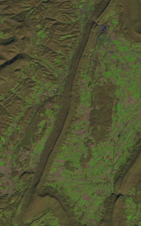 Dunning MountainSummitPhoto: James Stuby based on USGS/Landsat image, Public domain (via Wikimedia Commons)~1h 8m drive
 Lambs KnollSummitPhoto: Joe Calzarette, Public domain (via Wikimedia Commons)~1h 12m drive
 Blue KnobSummitPhoto: Calzarette, CC BY 3.0 (via Wikimedia Commons)~1h 19m drive
Conditions and forecast
Daily highs and lows, wind and the chance of precipitation at the summit for the next 7 days, from the Open-Meteo model.
Questions about Clarks Knob
How tall is Clarks Knob?
2,327 ft (709 m).
Is there a trail to the top of Clarks Knob?
We don't know of a mapped trail or route to the summit. Plan the approach with local maps, a guidebook or a local guide.

Ask about this place
Questions about Clarks Knob: conditions, access, timing. Answers say when something isn't known.
