

Lone Seqouia Campground
Campground
0.8 mi from the trail
Cedar Out-and-back is a short out-and-back trail in California covering 1.14 miles with 394 feet of elevation gain. The route reaches a maximum elevation of 4,329 feet.
Near: Ahwahnee
Best months: May–October. Best months have typical highs of 55–85 °F, lows of 30 °F or warmer (32 °F where the station doesn't record snow), at most one snowy day and no more than 12 wet days.
Jan
45°
27°
9 wet
Feb
46°
27°
9 wet
Mar
50°
28°
10 wet
Apr
55°
31°
7 wet
May
63°
37°
5 wet
Jun
73°
44°
2 wet
Jul
80°
51°
1 wet
Aug
80°
49°
1 wet
Sep
75°
45°
2 wet
Oct
64°
37°
4 wet
Nov
53°
30°
6 wet
Dec
44°
26°
9 wet
Typical high / low (°F) and days with rain or snow, 1991–2020. Measured at So Entrance Yosemite Np, CA, 6.9 mi away at 5,047 ft. The station sits about 700 ft higher than this place, so expect it a little warmer here. This station doesn't record snowfall. Source: NOAA NCEI U.S. Climate Normals 1991–2020.
Been here? Tell people how it was.
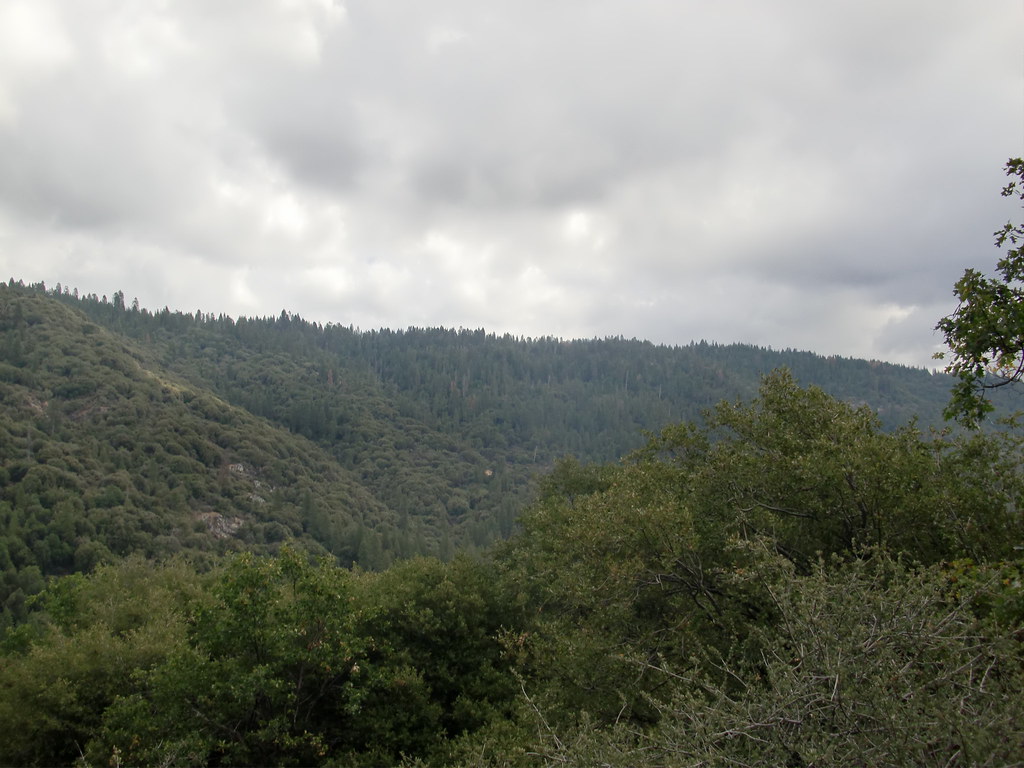 Downslope TrailHikingPhoto: Bluedevil266, CC BY 2.0 (via Flickr)~3 min driveMartin TrailHikingPhoto: Bluedevil266, CC BY 2.0 (via Flickr)~4 min drive
 Wawona TrailHikingPhoto: RuggyBearLA, CC BY 2.0 (via Flickr)~14 min driveDeadman TrailHikingPhoto: Bluedevil266, CC BY 2.0 (via Flickr)~4 min drive
 Ahwahnee Hills LoopHikingPhoto: Jim Griffin, CC0 (via Wikimedia Commons)~7 min drive
 Perimeter TrailHikingPhoto: Capt' Gorgeous, CC BY 2.0 (via Flickr)~12 min drive
 Rancho TrailHikingPhoto: niiicedave, CC BY-SA 2.0 (via Flickr)~11 min drive
 Biledo Meadow TrailHikingPhoto: A.Poulos (Iya) from USA, CC BY 2.0 (via Wikimedia Commons)~14 min drive
Also worth it near here
Daily highs and lows, wind and the chance of precipitation at Start for the next 7 days, from the Open-Meteo model.
Questions about Cedar Loop: conditions, access, timing. Answers say when something isn't known.
Lone Seqouia Campground
Campground
 If it rainsKevin R Foote, CC BY-SA 3.0 · Wikimedia Commons
Mariposa Grove Museum
Museum
Places © OpenStreetMap contributors, Places © Overture Maps Foundation · Photos: Kevin R Foote, CC BY-SA 3.0 (commons)
More in Yosemite ValleyNot on Roamze yet. Their page has how to reach them.
