City of Rocks Campsites
Campground
< 0.1 mi from the trail
 Photo: photophat, CC BY 3.0 (via Wikimedia Commons)
Campground 5-19 Circuit is a bouldering area in Idaho's City of Rocks National Reserve, managed by State Park and Recreation. It sits among a cluster of climbing and hiking spots, with Practice Rock just 0.1 mile away and Elephant Rock - East and Electric Avenue each about 0.3 mile off. The area is a bouldering hub, with 10 routes listed, all of them boulder problems. Grades run from V0 to V8, with the median around V2. Among the named routes are Practice Offwidth at V0, Jiji's Path at V2-, and Site C center at V8. For comfortable weather, aim for late spring or early fall. Typical averages from a nearby weather station in Rosette, Utah, show May highs around 65°F and September highs around 74°F, with July the warmest month at about 86°F. That station sits roughly 600 feet lower than the reserve, so temperatures here run a little cooler.
10 routes · V0 – V8 · Bouldering
Where it is: City of Rocks National Reserve
Near: Albion
Best months: April–June and August–October. Best months have typical highs of 55–85 °F, lows of 30 °F or warmer (32 °F where the station doesn't record snow), at most one snowy day and no more than 12 wet days.
Jan
35°
16°
8 wet
Feb
39°
19°
7 wet
Mar
48°
27°
6 wet
Apr
55°
33°
7 wet
May
65°
41°
9 wet
Jun
75°
50°
6 wet
Jul
86°
59°
5 wet
Aug
85°
57°
6 wet
Sep
74°
48°
5 wet
Oct
60°
35°
5 wet
Nov
45°
24°
6 wet
Dec
35°
17°
8 wet
Typical high / low (°F) and days with rain or snow, 1991–2020. Measured at Rosette, UT, 23.2 mi away at 5,685 ft. The station sits about 600 ft lower than this place, so expect it a little cooler here. This station doesn't record snowfall. Source: NOAA NCEI U.S. Climate Normals 1991–2020.
Been here? Tell people how it was.
 Practice RockRock climbingPhoto: cifraser1, CC BY 2.0 (via Flickr)0.1 mi
 Flaming Rock TrailHikingPhoto: reverendlukewarm, CC BY-SA 2.0 (via Flickr)0.3 mi
 Elephant Rock - EastRock climbingPhoto: cifraser1, CC BY 2.0 (via Flickr)0.3 mi
 Elephant Rock - NorthRock climbingPhoto: cifraser1, CC BY 2.0 (via Flickr)0.3 mi
 Electric AvenueRock climbingPhoto: AndreyZharkikh, CC BY 2.0 (via Flickr)0.3 mi
 Bumblie Wall TrailHikingPhoto: Bold Frontiers, CC BY 2.0 (via Flickr)0.5 mi
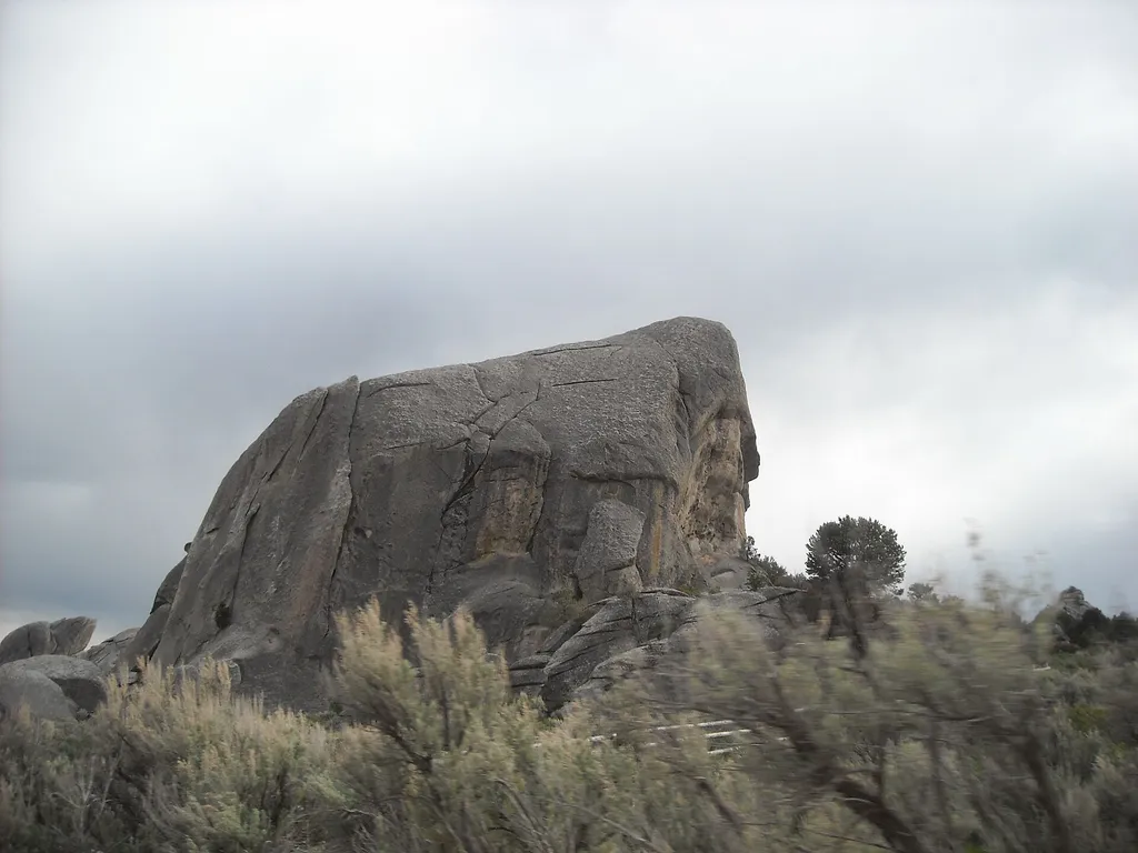 Window Arch Trail - 250 feetHikingPhoto: photophat — Wikimedia Commons (CC BY 3.0)0.5 mi
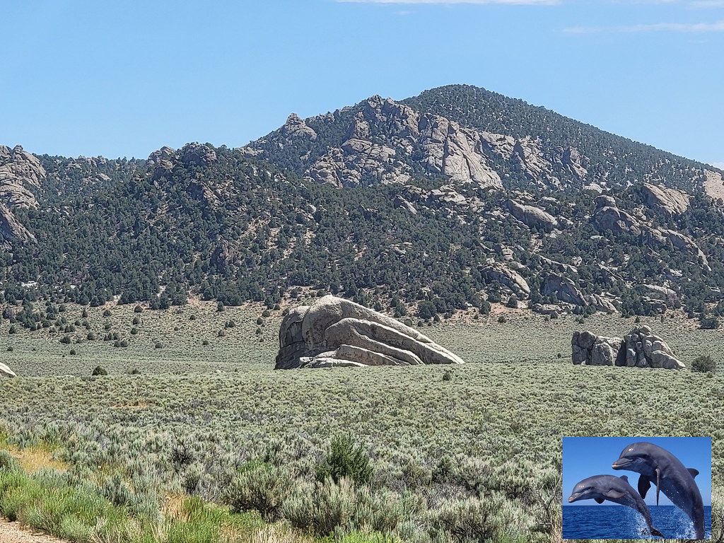 Register RockHikingPhoto: AndreyZharkikh, CC BY 2.0 (via Flickr)0.6 miPractice RockRock climbingPhoto: cifraser1, CC BY 2.0 (via Flickr)Next doorCrystal CowRock climbingPhoto: cifraser1, CC BY 2.0 (via Flickr)Next doorElephant Rock - EastRock climbingPhoto: cifraser1, CC BY 2.0 (via Flickr)Next doorElephant Rock - NorthRock climbingPhoto: cifraser1, CC BY 2.0 (via Flickr)Next doorElectric AvenueRock climbingPhoto: AndreyZharkikh, CC BY 2.0 (via Flickr)Next doorGhetto BoulderRock climbingPhoto: AndreyZharkikh, CC BY 2.0 (via Flickr)Next door
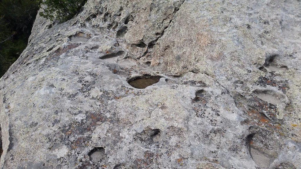 Flaming RockRock climbingPhoto: cifraser1, CC BY 2.0 (via Flickr)Next doorThe GallstoneRock climbingPhoto: AndreyZharkikh, CC BY 2.0 (via Flickr)Next door
 Cannibal CorridorRock climbingPhoto: cifraser1, CC BY 2.0 (via Flickr)Next doorThe Spoon BoulderRock climbingPhoto: cifraser1, CC BY 2.0 (via Flickr)Next door
Daily highs and lows, wind and the chance of precipitation at Campground 5-19 Circuit for the next 7 days, from the Open-Meteo model.
Questions about Campground 5-19 Circuit: conditions, access, timing. Answers say when something isn't known.
City of Rocks Campsites
Campground
Oakley Valley Historical Museum
Museum
Places © OpenStreetMap contributors, Places © Overture Maps Foundation
More in Oakley