Camelback Mountain
 Photo: Spikebrennan, CC BY-SA 3.0 (via Wikimedia Commons)
At a glance
Camelback Mountain is a climbing area in Echo Canyon Park, on county land in Arizona. It sits among a cluster of climbing and hiking destinations, with Gargoyle Wall, The Headwall and the Echo Canyon Trail all about 0.2 miles away. The area has 23 routes, with sport climbing making up 13 of them and trad climbing 8. The grades run from 5.1 to 5.12d, with the hardest route, Bomberos Away, at 5.12d. The Western Bouldering Area is also close by, about 0.2 miles off. Spring and fall are the most comfortable times to visit. Typical averages from a nearby weather station in Scottsdale show March highs around 76°F and October highs around 87°F, while June and July average in the low to mid 100s. The Cholla Trail is about 0.6 miles away, and the Salt River, a paddling spot, is about 7 miles off.
23 routes · 5.1 – 5.12d · Sport · Trad · Top Rope
- best months
- Nov–Apr
Where it is: Echo Canyon Park
Near: Phoenix
Best time to visit Camelback Mountain
Best months: November–April. Best months have typical highs of 55–85 °F, lows of 30 °F or warmer (32 °F where the station doesn't record snow), at most one snowy day and no more than 12 wet days.
Jan
67°
43°
4 wet
Feb
69°
46°
4 wet
Mar
76°
52°
3 wet
Apr
83°
58°
1 wet
May
92°
67°
1 wet
Jun
102°
76°
1 wet
Jul
104°
83°
3 wet
Aug
103°
82°
4 wet
Sep
98°
75°
3 wet
Oct
87°
63°
2 wet
Nov
75°
51°
2 wet
Dec
65°
43°
4 wet
Typical high / low (°F) and days with rain or snow, 1991–2020. Measured at Scottsdale Muni Ap, AZ, 8.1 mi away at 1,473 ft. This station doesn't record snowfall. Source: NOAA NCEI U.S. Climate Normals 1991–2020.
Been here? Tell people how it was.
- Gargoyle WallRock climbingPhoto: Spikebrennan, CC BY-SA 3.0 (via Wikimedia Commons)0.2 mi
- The HeadwallRock climbingPhoto: Spikebrennan, CC BY-SA 3.0 (via Wikimedia Commons)0.2 mi
 Echo Canyon TrailHikingPhoto: Hari Seldon, CC BY-SA 3.0 (via Wikimedia Commons)0.2 mi
- Western Bouldering AreaRock climbingPhoto: Hari Seldon, CC BY-SA 3.0 (via Wikimedia Commons)0.2 mi
- Cholla TrailHiking0.6 mi
 The Praying MonkRock climbingPhoto: bobistraveling, CC BY 2.0 (via Wikimedia Commons)0.6 mi
- Quartz Ridge Trail 8AHiking2.6 mi
 Salt RiverCanoeingPhoto: Alan Stark from Goodyear, AZ, United States, CC BY-SA 2.0 (via Wikimedia Commons)7.1 mi
- Gargoyle WallRock climbingPhoto: Spikebrennan, CC BY-SA 3.0 (via Wikimedia Commons)Next door
- The HeadwallRock climbingPhoto: Spikebrennan, CC BY-SA 3.0 (via Wikimedia Commons)Next door
- Western Bouldering AreaRock climbingPhoto: Hari Seldon, CC BY-SA 3.0 (via Wikimedia Commons)Next door
- Boulder CanyonRock climbingPhoto: bobistraveling, CC BY 2.0 (via Wikimedia Commons)~1 min drive
- The Praying MonkRock climbingPhoto: bobistraveling, CC BY 2.0 (via Wikimedia Commons)~1 min drive
 Lookout MountainRock climbingPhoto: Patrick Alexander from Las Cruces, NM, CC0 (via Wikimedia Commons)~15 min drive
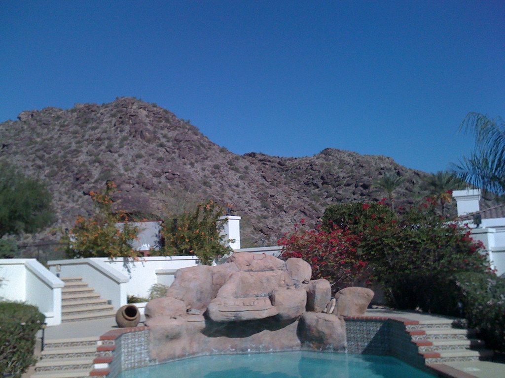 The Arena Area FooRock climbingPhoto: fredcamino, CC BY-SA 2.0 (via Flickr)~21 min drive
- Phoenix Area BuilderingRock climbing~9 min drive
- Hobo HouseRock climbing~10 min drive
- Beaver Wall at PapagoRock climbing~10 min drive
Conditions and forecast
Daily highs and lows, wind and the chance of precipitation at Camelback Mountain for the next 7 days, from the Open-Meteo model.
Ask about this place
Questions about Camelback Mountain: conditions, access, timing. Answers say when something isn't known.
