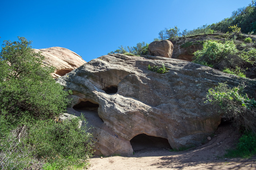
Malibu Creek Campground
Campground
3.7 mi from the trail
Calabasas Slabs is a climbing area in California's Santa Monica Mountains National Recreation Area, within Cold Creek Valley Preserve. The land is managed by a non-governmental organization, and the area sits among a cluster of other climbing spots and hiking trails. The climbing here is a small, compact set of five routes, with three of them done in traditional style and two in mixed style. The grades run from 5.4 to 5.7, with the easiest being Easy Huecos and the hardest, Attractive Lives! Matter More!, at 5.7. Heart of Glass is a mixed route that was first climbed by Sean Tang and Nicole Breed in January 2021. Spring and fall are the most comfortable times to visit. Typical averages from a nearby weather station in Woodland Hills show April highs around 78°F and October highs around 85°F, while July and August average in the mid-90s. That station sits about 900 feet lower than the slabs, so temperatures on the rock run cooler. Crags Rd. Crag's is just 0.3 miles away, and Deer Grass Trail and Cold Creek Trail are both within a mile. Corpse Wall, about 2 miles off, is another climbing area in the area.
5 routes · 5.4 – 5.7 · Trad · Mixed
Where it is: Santa Monica Mountains National Recreation Area · Cold Creek Valley Preserve
Near: Los Angeles
Best months: October–May. Best months have typical highs of 55–85 °F, lows of 30 °F or warmer (32 °F where the station doesn't record snow), at most one snowy day and no more than 12 wet days.
Jan
70°
43°
6 wet
Feb
70°
44°
7 wet
Mar
74°
46°
6 wet
Apr
78°
48°
3 wet
May
82°
53°
1 wet
Jun
89°
57°
0 wet
Jul
95°
61°
0 wet
Aug
97°
61°
0 wet
Sep
94°
59°
1 wet
Oct
85°
53°
2 wet
Nov
76°
46°
3 wet
Dec
69°
42°
6 wet
Typical high / low (°F) and days with rain or snow, 1991–2020. Measured at Woodland Hills Pierce College, CA, 6.8 mi away at 790 ft. The station sits about 900 ft lower than this place, so expect it a little cooler here. Source: NOAA NCEI U.S. Climate Normals 1991–2020.
Been here? Tell people how it was.
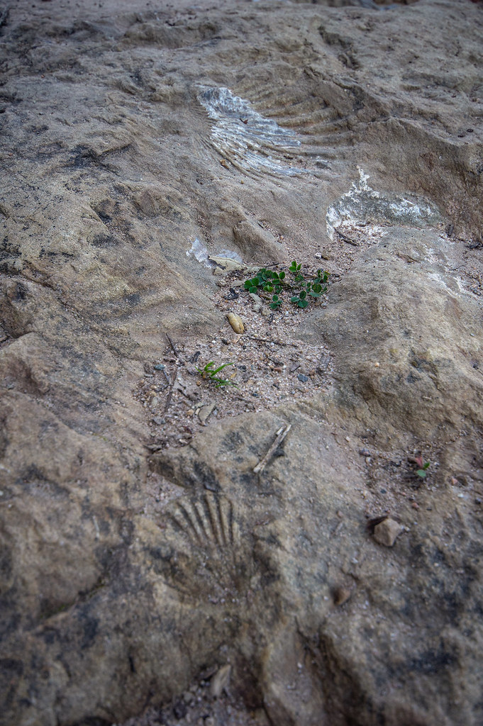 Deer Grass TrailHikingPhoto: RuggyBearLA, CC BY-SA 2.0 (via Flickr)0.6 miCold Creek TrailHikingPhoto: RuggyBearLA, CC BY-SA 2.0 (via Flickr)0.8 mi
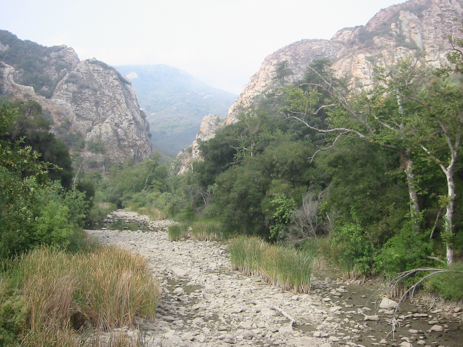 Malibu CreekCanoeingPhoto: Tobin/tobo, Rochester, NY, USA, CC BY-SA 2.0 (via Wikimedia Commons)4.5 mi
 Planet of the Apes WallRock climbingPhoto: playboyr, CC BY 3.0 (via Wikimedia Commons)~8 min driveStumbling BlocksRock climbingPhoto: playboyr, CC BY 3.0 (via Wikimedia Commons)~8 min drive
 Main WallRock climbingPhoto: timatymusic, CC BY 2.0 (via Flickr)~10 min driveTick RockRock climbingPhoto: timatymusic, CC BY 2.0 (via Flickr)~10 min drive
 Pile UpsRock climbingPhoto: Pintsmasher, CC BY 3.0 (via Wikimedia Commons)~20 min drive
 Pump RockRock climbingPhoto: jxson, CC BY 2.0 (via Flickr)~20 min driveJam RockRock climbingPhoto: jxson, CC BY 2.0 (via Flickr)~20 min drive
Daily highs and lows, wind and the chance of precipitation at Calabasas Slabs for the next 7 days, from the Open-Meteo model.
Questions about Calabasas Slabs: conditions, access, timing. Answers say when something isn't known.
Malibu Creek Campground
Campground
 If it rainsLos Angeles, CC BY-SA 4.0 · Wikimedia Commons
Leonis Adobe
Museum
Places © OpenStreetMap contributors, Places © Overture Maps Foundation · Photos: Los Angeles, CC BY-SA 4.0 (commons)
More in Moorpark